Mandeville in St. Tammany Parish, Louisiana — The American South (West South Central)
Pottery Hill
National Register of Historic Places
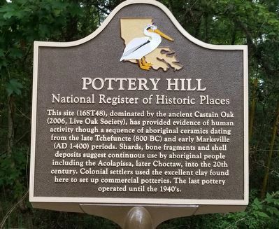
Photographed by Cajun Scrambler, June 21, 2021
1. Pottery Hill Marker
Topics. This historical marker is listed in this topic list: Indigenous Peoples and Communities.
Location. 30° 21.095′ N, 90° 3.11′ W. Marker is in Mandeville, Louisiana, in St. Tammany Parish. It is at the intersection of Colbert Road and Monroe Street, on the left when traveling south on Colbert Road. Touch for map. Marker is in this post office area: Mandeville LA 70448, United States of America. Touch for directions.

Regionally, this marker is in the Florida Parishes and in Greater New Orleans. It is also in the American South, specifically
this page online
Other nearby markers. At least 8 other markers are within 2 miles of this marker, measured as the crow flies: Battle of Lake Pontchartrain (approx. half a mile away); Dew Drop Social and Benevolent Hall (approx. 0.7 miles away); Our Lady Of The Lake Church (approx. 1.1 miles away); Rest Awhile (approx. 1.2 miles away); Native Peoples (approx. 1.2 miles away); The Enslaved (approx. 1.3 miles away); Sugar Mill Operation (approx. 1.3 miles away); Fontainebleau Plantation Sugar Mill (approx. 1.3 miles away). Touch for a list and map of all markers in Mandeville.
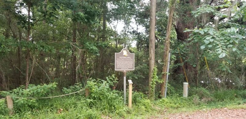
Photographed by Cajun Scrambler, June 21, 2021
2. Pottery Hill Marker
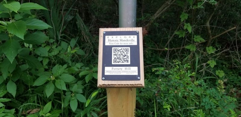
Photographed by Cajun Scrambler, June 21, 2021
3. Pottery Hill Marker
QR code on marker pole
Credits. This page was last revised on June 26, 2021. It was originally submitted on June 26, 2021, by Cajun Scrambler of Assumption, Louisiana. This page has been viewed 1,158 times since then and 68 times this year. Photos: 1, 2, 3. submitted on June 26, 2021, by Cajun Scrambler of Assumption, Louisiana.
