Near Terre Haute in Vigo County, Indiana — The American Midwest (Great Lakes)
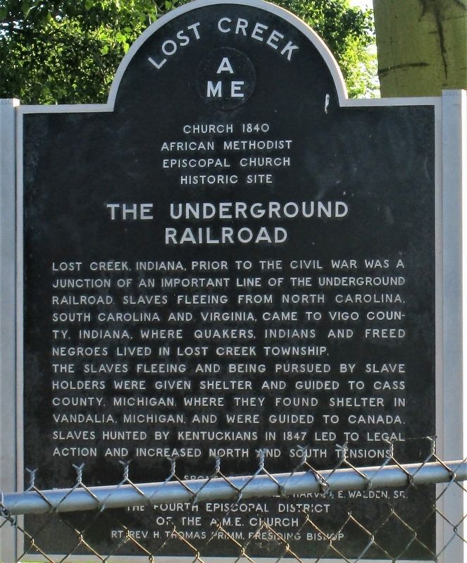
Lost Creek
AME
— The Underground Railroad —
Lost Creek AME
Church 1840
African Methodist Episcopal Church Historic Site
The Underground Railroad
Lost Creek, Indiana, prior to the Civil War was a junction of an important line of the Underground Railroad. Slaves fleeing from North Carolina, South Carolina and Virginia, came to Vigo County, Indiana, where Quakers, Indians and freed Negroes lived in Lost Creek Township. The slaves fleeing and being pursued by slave holders were given shelter and guided to Cass County, Michigan, where they found shelter in Vandalia, Michigan and were guided to Canada. Slaves hunted by Kentuckians in 1847 led to legal action and increased north and south tension. Sponsored by The Late Professor Morton Lewis and Rev. Harvey E. Walden, Sr The Fourth Episcopal District of the A.M.E. Church Rt. Rev. H. Thomas Primm, Presiding Bishop
Erected by The Fourth Episcopal District of the A.M.E. Church.
Topics. This historical marker is listed in these topic lists: Abolition & Underground RR • African Americans • Churches & Religion. A significant historical year for this entry is 1840.
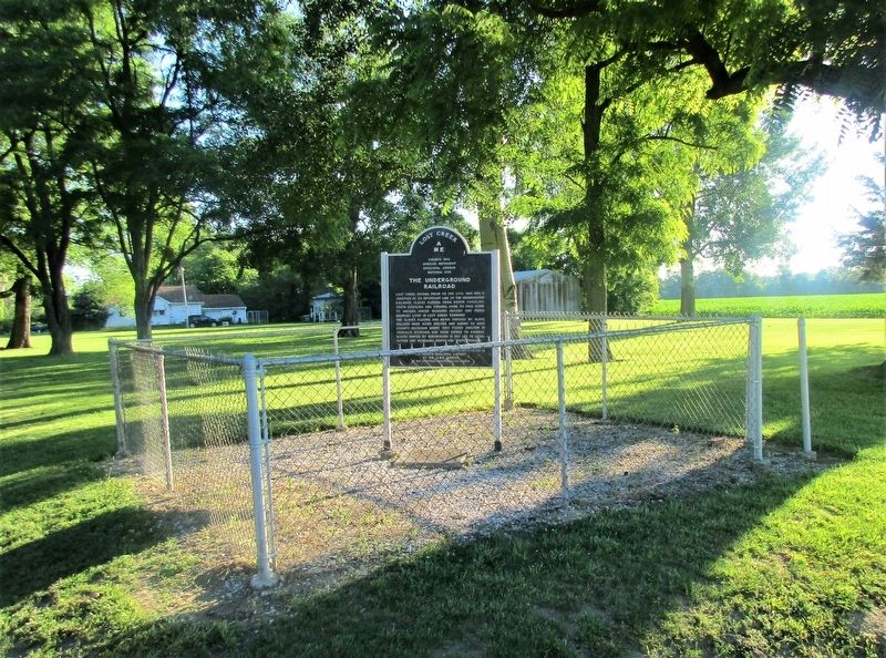
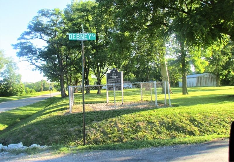
Location. 39° 30.81′ N, 87° 18.843′ W. Marker is near Terre Haute, Indiana, in Vigo County. Marker is at the intersection of North Hunt Street and Debney Road, on the right when traveling north on North Hunt Street. marker is at the Lost Creek Church site. Touch for map. Marker is at or near this postal address: 3901 Hunt Road, Terre Haute IN 47805, United States of America. Touch for directions.
Other nearby markers. At least 8 other markers are within 4 miles of this marker, measured as the crow flies. Markle Mill Site (approx. 2 miles away); The Shape of Excellence (approx. 2.2 miles away); Rose-Hulman Polytechnic Institute (approx. 2.3 miles away); Destination Anywhere (approx. 2˝ miles away); Civil War Memorial (approx. 2.9 miles away); Highland Lawn Cemetery (approx. 3.2 miles away); Max Carey (approx. 4 miles away); Historic National Road / Make History, Drive It (approx. 4 miles away). Touch for a list and map of all markers in Terre Haute.
Additional keywords. Underground Railroad
Credits. This page was last revised on June 29, 2021. It was originally submitted on June 26, 2021, by Rev. Ronald Irick of West Liberty, Ohio. This page has been viewed 395 times since then and 72 times this year. Photos: 1, 2, 3. submitted on June 26, 2021, by Rev. Ronald Irick of West Liberty, Ohio. • Bill Pfingsten was the editor who published this page.


