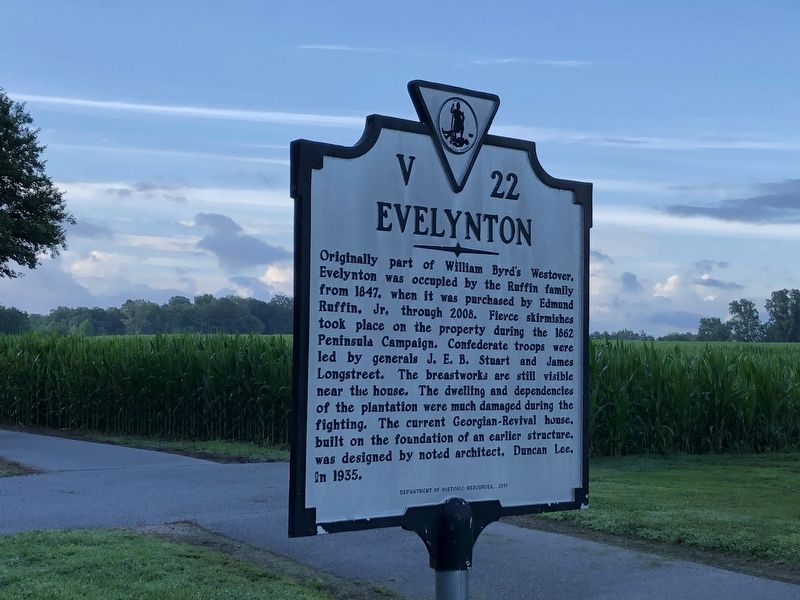
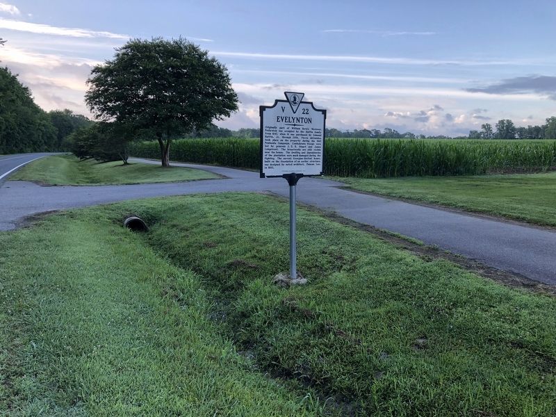
Charles City in Charles City County, Virginia — The American South (Mid-Atlantic)
Evelynton
Erected 2011 by Department of Historic Resources. (Marker Number V-5.)
Topics and series. This historical marker is listed in these topic lists: Architecture • War, US Civil. In addition, it is included in the Virginia Department of Historic Resources (DHR) series list. A significant historical year for this entry is 1847.
Location. 37° 20.052′ N, 77° 9.168′ W. Marker is in Charles City, Virginia, in Charles City County. Marker is on John Tyler Memorial Highway (Virginia Route 5) 0.8 miles east of Barnetts Road (Virginia Route 609), on the right when traveling east. Touch for map. Marker is at or near this postal address: 7501 John Tyler Memorial Hwy, Charles City VA 23030, United States of America. Touch for directions.
Other nearby markers. At least 8 other markers are within 2 miles of this marker, measured as the crow flies. Westover Church (approx. ¼ mile away); a different marker also named Westover Church (approx. 0.4 miles away); Salem Church (approx. 0.8 miles away); Richmond Condita (approx. 1.6 miles away); Westover Plantation (approx. 1.6 miles away); Westover (approx. 1.6 miles away); Herring Creek (approx. 1.6 miles away); Lane to Site of First Thanksgiving (approx. 1.8 miles away). Touch for a list and map of all markers in Charles City.
Related marker. Click here for another marker that is related to this marker. This marker has replaced the linked marker which had slightly different content.
Credits. This page was last revised on June 26, 2021. It was originally submitted on June 26, 2021, by Devry Becker Jones of Washington, District of Columbia. This page has been viewed 216 times since then and 33 times this year. Photos: 1, 2. submitted on June 26, 2021, by Devry Becker Jones of Washington, District of Columbia.

