Corona in Queens in Queens County, New York — The American Northeast (Mid-Atlantic)
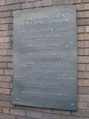
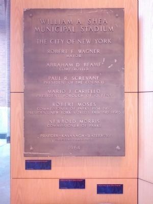
William A. Shea Municipal Stadium
Robert F. Wagner
Mayor
Abraham D. Beame
Comptroller
Paul R. Screvane
President of the Council
Mario J. Cariello
President, Borough of Queens
Robert Moses
Commissioner of Parks 1934-1960
President, New York World's Fair - 1960-1965
Newbold Morris
Commissioner of Parks
Praeger-Kavanagh-Waterbury
Engineers-Architects
1964
Erected 1964 by The City of New York.
Topics. This historical marker is listed in this topic list: Sports. A significant historical year for this entry is 1964.
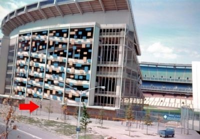
Location. Marker has been reported missing. It was located near 40° 45.305′ N, 73° 50.815′ W. Marker was in Queens, New York, in Queens County. It was in Corona. Marker could be reached from Roosevelt Avenue near Grand Central Parkway. Exit 9E of Grand Central Parkway. Touch for map. Marker was at or near this postal address: 123-01 Roosevelt Avenue, Corona NY 11368, United States of America. Touch for directions.
Other nearby markers. At least 8 other markers are within walking distance of this location. Flushing Meadows Corona Park (approx. 0.3 miles away); New York Worlds Fair (approx. 0.3 miles away); David Dinkins Circle (approx. 0.3 miles away); George Washington (approx. half a mile away); Gemini Titan II (approx. 0.6 miles away); Man on the Moon / Rocket History (approx. 0.6 miles away); Rocket Park (approx. 0.6 miles away); The 1964-65 New York World's Fair (approx. 0.6 miles away). Touch for a list and map of all markers in Queens.
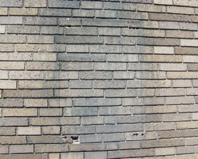
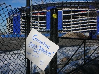
More about this marker. The marker was removed sometime in 2008 prior to the demolition of Shea Stadium. It is possible the City of New York or the New York Mets removed the marker for placement in a museum. Shea Stadium demolition commenced on October 10, 2008 and was completed on February 18, 2009.
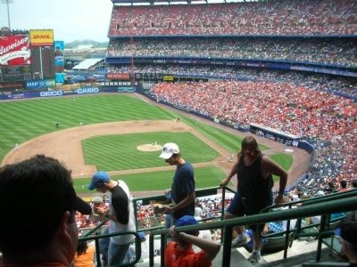
Regarding William A. Shea Municipal Stadium. William A. Shea was responsible for the return of a National League MLB team to New York City after the departure of the New York Giants and Brooklyn Dodgers in 1957.
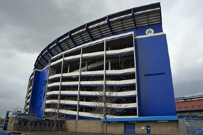
Shea Stadium was constructed in conjunction with the 1964/1964 New York World's Fair.
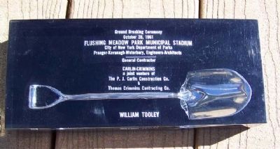
The Stadium was originally named "Flushing Meadow Park Municipal Stadium". Ground was broken on October 28,1961. The name was changed in 1963 to William
A. Shea Municipal Stadium prior to dedication to honor Mr. Shea.
Additional commentary.
1.
Shea Stadium was the first "convertible" stadium. The lower level field box seats were set on tracks and rotated to provide seating and configuration as a foot ball stadium. The New York Jets played football at Shea between 1964 and 1983. Praeger-Kavanaugh-Waterbury, the Architects of Shea Stadium, actually patented the convertible stadium design.
— Submitted April 9, 2009, by Mary Ellen Coghlan of Warwick, New York.
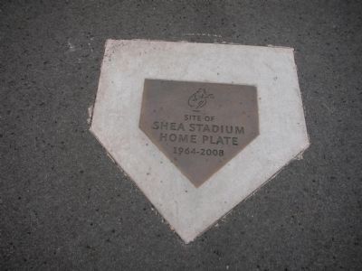
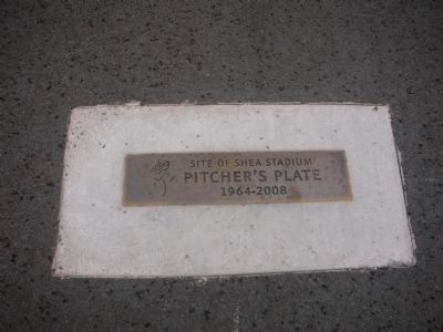
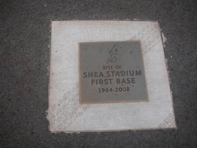
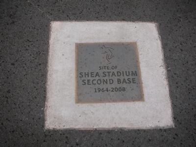
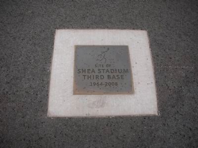
2. Home Plate and Base Markers
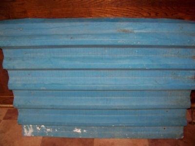
The markers located in the parking lot are positioned at the exact location that they were in Shea Stadium. The figures on the markers depict the baseball player neon figures that were added to the stadium exterior circa 1980 when the "confetti" panels were removed.
— Submitted April 10, 2010, by Mary Ellen Coghlan of Warwick, New York.
Additional keywords. Shea Stadium New York Mets New York Metropolitan Baseball Club Flushing Meadow Park Municipal Stadium
Credits. This page was last revised on July 11, 2023. It was originally submitted on April 3, 2009, by Mary Ellen Coghlan of Warwick, New York. This page has been viewed 3,090 times since then and 52 times this year. Photos: 1, 2, 3, 4, 5. submitted on April 3, 2009, by Mary Ellen Coghlan of Warwick, New York. 6. submitted on July 17, 2013, by Mary Ellen Coghlan of Warwick, New York. 7, 8. submitted on April 3, 2009, by Mary Ellen Coghlan of Warwick, New York. 9. submitted on September 4, 2009, by Mary Ellen Coghlan of Warwick, New York. 10, 11, 12, 13, 14. submitted on April 10, 2010, by Mary Ellen Coghlan of Warwick, New York. • Bill Pfingsten was the editor who published this page.
