Near Sentell in Caddo Parish, Louisiana — The American South (West South Central)
Pittman Plantation Home
1912
| — | Historic Site | — |
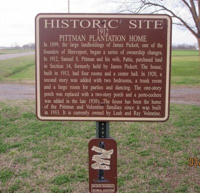
Photographed by Jason Armstrong, March 13, 2021
1. Pittman Plantation Home Marker
Topics. This historical marker is listed in this topic list: Architecture. A significant historical year for this entry is 1912.
Location. 32° 37.874′ N, 93° 46.878′ W. Marker is near Sentell, Louisiana, in Caddo Parish. It is on Dixie Shreveport Road (Louisiana Route 3049) one mile north of Cash Point Plantation Road, on the right when traveling north. Touch for map. Marker is in this post office area: Shreveport LA 71107, United States of America. Touch for directions.

Regionally,
this page online
Other nearby markers. At least 8 other markers are within 5 miles of this marker, measured as the crow flies: Cash Point-Gold Point-Buckhall Plantations (a few steps from this marker); Pickett Place Plantation (approx. ¾ mile away); Cash Point Plantation (approx. one mile away); Dixie Gin (approx. 1½ miles away); Cash Point School (approx. 1.8 miles away); Mounds Plantation (approx. 3.1 miles away); Confederate Monument (approx. 4 miles away); Hughes House (approx. 5 miles away). Touch for a list and map of all markers in Sentell.
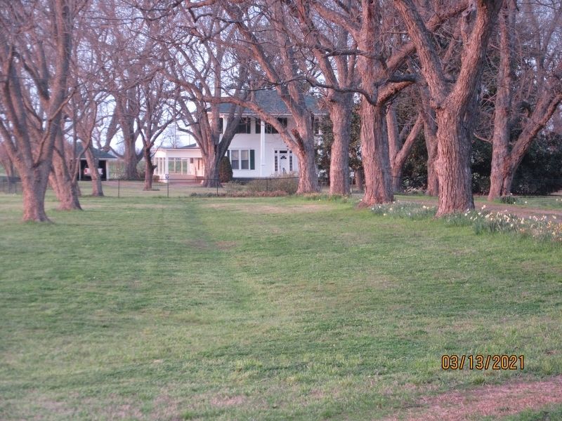
Photographed by Jason Armstrong, March 13, 2021
2. Pittman Plantation Home
Credits. This page was last revised on June 28, 2021. It was originally submitted on June 27, 2021, by Jason Armstrong of Talihina, Oklahoma. This page has been viewed 2,225 times since then and 180 times this year. Photos: 1, 2. submitted on June 27, 2021, by Jason Armstrong of Talihina, Oklahoma. • Mark Hilton was the editor who published this page.
