Cumberland in Allegany County, Maryland — The American Northeast (Mid-Atlantic)
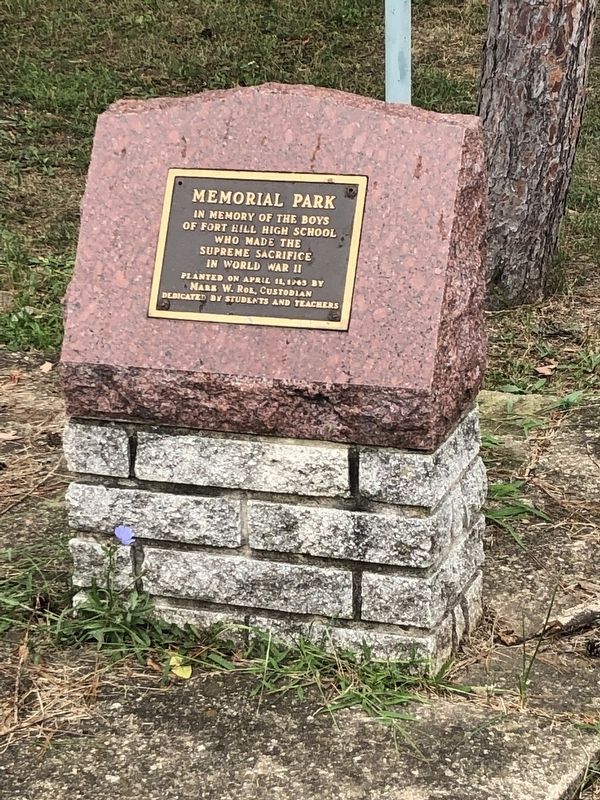
Memorial Park
of Fort Hill High School
who made the
Supreme Sacrifice
in World War II
Planted on April 11, 1965 by
Mark W. Rob, Custodian
Dedicated by Students and Teachers
Erected 1965 by Students and Teachers of Fort Hill High School.
Topics. This memorial is listed in this topic list: War, World II.
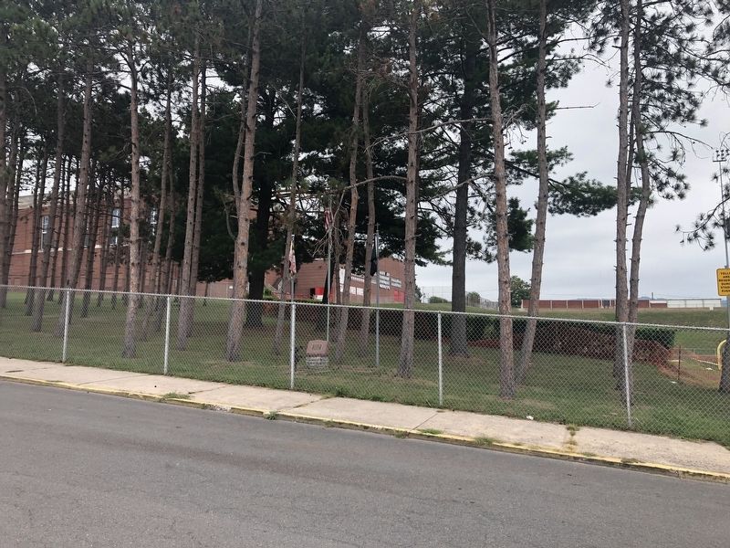
Location. Marker has been reported missing. It was located near 39° 38.592′ N, 78° 44.947′ W. Marker was in Cumberland, Maryland, in Allegany County. Memorial was on Greenway Avenue just north of Cecil Street, on the right when traveling north. Touch for map. Marker was at or near this postal address: 519 Greenway Avenue, Cumberland MD 21502, United States of America. Touch for directions.
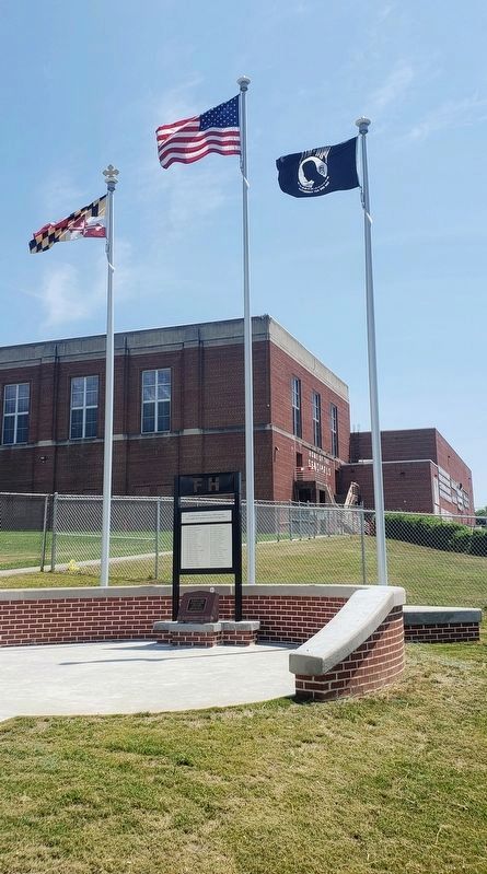
Other nearby markers. At least 8 other markers are within walking distance of this location. A different marker also named Memorial Park (within shouting distance of this marker); Monomoy Surfboat CG 26860 (approx. ¼ mile away); Constitution Park (approx. 0.3 miles away); The Francis Haley House (approx. 0.4 miles away); Cumberland Surrenders (approx. 0.4 miles away); Cumberland (approx. 0.4 miles away); St. Mary's Centennial Tree (approx. 0.6 miles away); Veterans Memorial (approx. ¾ mile away). Touch for a list and map of all markers in Cumberland.
Credits. This page was last revised on July 10, 2021. It was originally submitted on September 7, 2019, by Devry Becker Jones of Washington, District of Columbia. This page has been viewed 158 times since then and 4 times this year. Last updated on June 27, 2021, by Bradley Owen of Morgantown, West Virginia. Photos: 1, 2. submitted on September 7, 2019, by Devry Becker Jones of Washington, District of Columbia. 3. submitted on July 1, 2021, by Bradley Owen of Morgantown, West Virginia.


