North Central in San Antonio in Bexar County, Texas — The American South (West South Central)
Lockhill School
Photographed by James Hulse, June 23, 2021
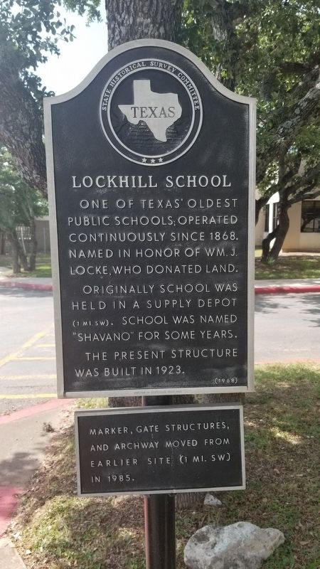
1. Lockhill School Marker
One of Texas' oldest public schools; operated continuously since 1868. Named in honor of Wm. J. Locke, who donated land. Originally school was held in a supply depot (1 mi. SW). School was named "Shavano" for some years. The present structure was built in 1923.
Erected in Centennial Year 1968
Additional tablet
Marker, gate structures, and archway moved from earlier site (1 mi. SW) in 1985.
Erected 1968 by State Historical Survey Committee. (Marker Number 3109.)
Topics. This historical marker is listed in this topic list: Education. A significant historical year for this entry is 1868.
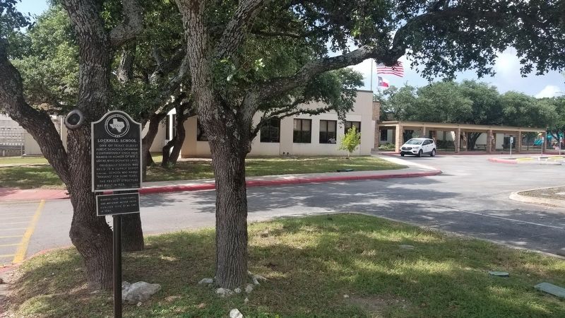
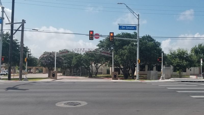
Location. 29° 33.951′ N, 98° 35.004′ W. Marker is in San Antonio, Texas, in Bexar County. It is in North Central. It is at the intersection of De Zavala Road and Syracuse Street, on the right when traveling east on De Zavala Road. The marker is located at the street entrance to the Locke Hill Elementary School. Touch for map. Marker is at or near this postal address: 5050 De Zavala Rd, San Antonio TX 78230, United States of America. Touch for directions.

Regionally, this marker is in South Texas. It is also in the American South. Globally, it is in North America, a Gulf of Mexico state, the Western Hemisphere, the Western World, and the Anglosphere. Historically, it finds itself in what was once New Spain, the Republic of Texas, and one of the Confederate States of America.
Other nearby markers. At least 8 other markers are within 6 miles of this marker, measured as the crow flies: Locke Hill Auditorium (approx. 0.8 miles away); Audie Leon Murphy (approx. 4.2 miles away); Evers Family Cemetery (approx. 4.8 miles away); Leon Valley Meeting Place (approx. 5.3 miles away); Huebner-Onion Homestead and Stagecoach Stop (approx. 5.4 miles away); Coker Cemetery (approx. 5½ miles away); Malinda Brown Coker (approx.
this page online
Additional commentary.
1. History of the Marker
The application for the school marker was prepared by Doris Locke Veach, "a granddaughter of the founding Mr. Locke (and) original source for much of the history" and by "Mrs. Reagan Tucker." The latter was Mary Estelle Tucker, a member since 1959 of the Ol' Shavano DAR chapter, who also submitted the form. Tucker also signed correspondence with the Texas Historical Survey Committee (as THC then was called) and approved the marker text.
— Submitted August 23, 2026.
Photographed by James Hulse, June 23, 2021
2. The Lockhill School Marker at the street entrance
Photographed by James Hulse, June 23, 2021
3. The view of the Lockhill School and Marker from across the street
Credits. This page was last revised on August 23, 2026. It was originally submitted on June 27, 2021, by James Hulse of Medina, Texas. This page has been viewed 854 times since then and 70 times this year. Photos: 1, 2, 3. submitted on June 27, 2021, by James Hulse of Medina, Texas.
