Midtown in San Antonio in Bexar County, Texas — The American South (West South Central)
Christ Episcopal Church
Photographed by James Hulse, June 23, 2021
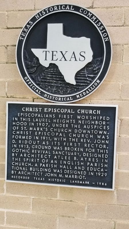
1. Christ Episcopal Church Marker
Episcopalians first worshiped in this Laurel Heights neighborhood in 1907, under the auspices of St. Mark's Church downtown. Christ Episcopal Church was formed in 1911, with the Rev. John D. Ridout as its first rector. In 1913, ground was broken for this Gothic Revival sanctuary, designed by architect Atlee B. Ayres in the spirit of an English parish church. A parish hall and educational building was designed in 1929 by architect John M. Marriot.
Recorded Texas Historic Landmark - 1986
Erected 1986 by Texas Historical Commission. (Marker Number 841.)
Topics. This historical marker is listed in this topic list: Religion & Religious Structures. A significant historical year for this entry is 1907.
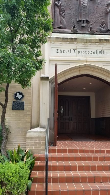
Location. 29° 27.08′ N, 98° 29.832′ W. Marker is in San Antonio, Texas, in Bexar County. It is in Midtown. It is at the intersection of Belknap Place and West French Place, on the right when traveling north on Belknap Place. The marker is located on the left side of the front door to the Church. Touch for map. Marker is at or near this postal address: 510 Belknap Place, San Antonio TX 78212, United States of America. Touch for directions.

Regionally, this marker is in South Texas. It is also in the American South. Globally, it is in North America, a Gulf of Mexico state, the Western Hemisphere, the Western World, and the Anglosphere. Historically, it finds itself in what was once New Spain, the Republic of Texas, and one of the Confederate States of America.
Other nearby markers. At least 8 other markers are within walking distance of this marker: Jay Adams House (a few steps from this marker); Roy and Madge Hearne House (about 500 feet away, measured in a direct line); The Woman's Club of San Antonio (approx. 0.2 miles away); David J. and May Bock Woodward House (approx. 0.2 miles away); Belknap Place
this page online
Photographed by James Hulse, June 23, 2021
2. The Christ Episcopal Church Marker at the front entrance to the church
Photographed by James Hulse, June 23, 2021
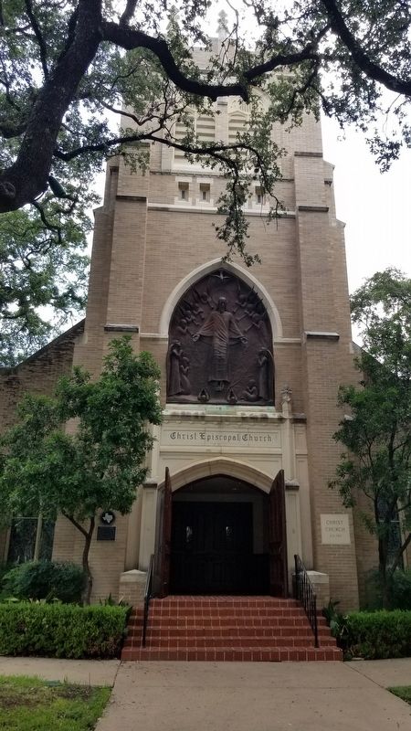
3. Christ Episcopal Church and Marker
Photographed by James Hulse, June 23, 2021
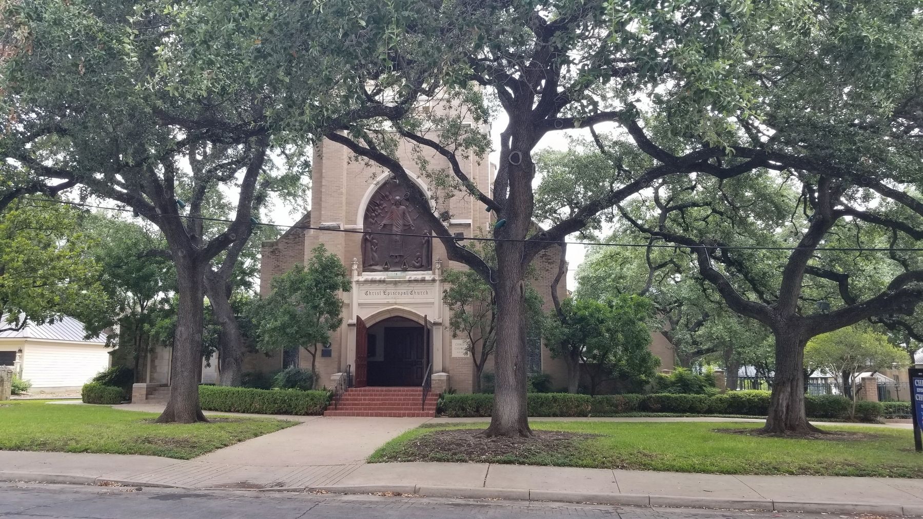
4. The view of the Christ Episcopal Church from across the street
Credits. This page was last revised on February 2, 2023. It was originally submitted on June 28, 2021, by James Hulse of Medina, Texas. This page has been viewed 592 times since then and 68 times this year. Photos: 1, 2, 3, 4. submitted on June 28, 2021, by James Hulse of Medina, Texas.
