Vincennes in Knox County, Indiana — The American Midwest (Great Lakes)
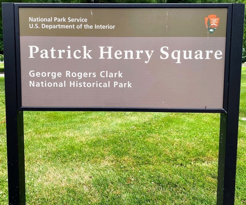
Patrick Henry Square
George Rogers Clark National Historical Park
— National Park Service, U.S. Department of the Interior —
Before this square was set aside as a park, the area was a bustling part of Main Street. Maps from 1887 show the La Plante House, a tailor, printer, and hardware store all filled this block. Maps from 1916 show this building transformed into a department store on this spot with both buggy storage and an automobile dealer across First Street towards the Wabash River. In the 1930s, work began on the George Rogers Clark Memorial while the Abraham Lincoln Memorial Bridge on Vigo Street replaced the steel Main Street Bridge. The face of downtown Vincennes changed forever. The original design of the park's historic landscape centers the Clark Memorial in downtown with wooded areas to the southwest and Main Street to the northeast. This symbolizes Clark's role in the transformation of the frontier of the Old Northwest Territory.
Did you know?
Records like these detailed Sanborn Maps were created for insurance companies. Today they provide researchers with a very clear view of Vincennes in 1887.
Erected by National Park Service, U.S. Department of the Interior.
Topics. This historical marker is listed in these topic lists: Industry & Commerce • Parks & Recreational Areas.
Location. 38° 40.825′ N, 87° 31.986′ W. Marker is in Vincennes, Indiana, in Knox County. Marker is at the intersection of Main Street and South 1st St, on the left when traveling west on Main Street. The marker is located at Patrick Henry Square in downtown Vincennes which is part of George Rogers Clark National Historical Park. Touch for map. Marker is at or near this postal address: 104 Main St, Vincennes IN 47591, United States of America. Touch for directions.
Other nearby markers. At least 8 other markers are within walking distance of this marker. A different marker also named Patrick Henry Square (here, next to this marker); Gold Star - - Honor Roll (a few steps from this marker); Site of House Occupied as Headquarters (a few steps from this marker); Vincennes in the American Revolution (a few steps from this marker); Patriotism of Charles Gratiot (within shouting distance of this marker); Vincennes (within shouting distance of this marker); Sieur De Vincennes (within shouting distance of this marker); U.S.S. Vincennes (about 300 feet away, measured in a direct line). Touch for a list and map of all markers in Vincennes.
Credits. This page was last revised on July 1, 2021. It was originally submitted on June 30, 2021, by Shane Oliver of Richmond, Virginia. This page has been viewed 425 times since then and 92 times this year. Photos: 1, 2, 3. submitted on June 30, 2021, by Shane Oliver of Richmond, Virginia. • Devry Becker Jones was the editor who published this page.


