Troy in Madison County, Illinois — The American Midwest (Great Lakes)
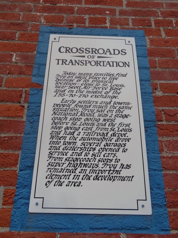
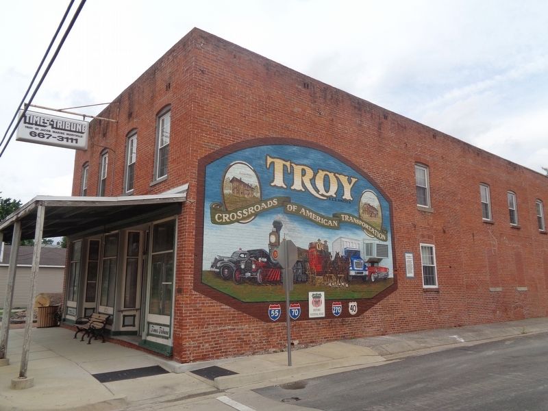
Crossroads of Transportation
Early settlers and townspeople found much the same situation. Troy sat on the National Road, was a stagecoach stop going west before St. Louis and the first stop going east from St. Louis and had a railroad depot. When the automobile drove into town, several garages and dealerships opened to service and to sell cars. From stagecoach stops to super highways, Troy has remained an important element in the development of the area.
Topics and series. This historical marker is listed in this topic list: Roads & Vehicles. In addition, it is included in the The Historic National Road series list.
Location. 38° 43.728′ N, 89° 52.9′ W. Marker is in Troy, Illinois, in Madison County. Marker is at the intersection of East Market Street (Illinois Route 162) and South Hickory Street, on the right when traveling east on East Market Street. Touch for map. Marker is at or near this postal address: 201 IL-162, Troy IL 62294, United States of America. Touch for directions.
Other nearby markers. At least 8 other markers are within 5 miles of this marker, measured as the crow flies. Bob Turley (about 500 feet away, measured in a direct line); John "Owen" Brendel (approx. 0.9 miles away); Troy (approx. 0.9 miles away); Mont Station (approx. 3.9 miles away); Maryville (approx. 4 miles away); American Legion Post 917 Veterans Memorial (approx. 4 miles away); Acme School (approx. 4.3 miles away); East St. Louis & Suburban Railway Electric Line Streetcar (approx. 4.6 miles away). Touch for a list and map of all markers in Troy.
Credits. This page was last revised on July 2, 2021. It was originally submitted on July 2, 2021, by Jason Voigt of Glen Carbon, Illinois. This page has been viewed 156 times since then and 27 times this year. Photos: 1, 2. submitted on July 2, 2021, by Jason Voigt of Glen Carbon, Illinois.

