Near Pray in Jackson County, Wisconsin — The American Midwest (Great Lakes)
Goodyear Camp Ground
Photographed by Keith L, July 3, 2021
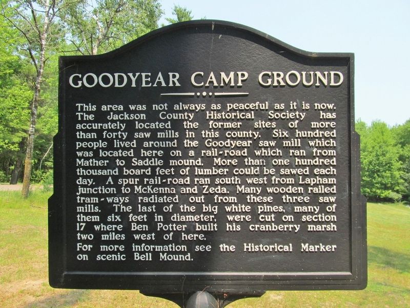
1. Goodyear Camp Ground Marker
For more information see the Historical Marker on scenic Bell Mound.
Topics. This historical marker is listed in these topic lists: Horticulture & Forestry • Industry & Commerce • Railroads & Streetcars • Settlements & Settlers.
Location. 44° 18.26′ N, 90° 30.118′ W. Marker is near Pray, Wisconsin, in Jackson County. It is on McKenna Road 3.1 miles south of State Highway 54, on the left
this page online

Regionally, this marker is in the American Midwest and in the Corn Belt. Globally, it is in North America, the Western Hemisphere, the Western World, and the Anglosphere. Historically, it finds itself in what was once the territory of the Mississippian Culture and also the Northwest Territory.
Other nearby markers. At least one other marker is within 9 miles of this marker, measured as the crow flies: City Point Veterans Memorial (approx. 8.8 miles away).
Also see . . . Merlin Lambert County Park. (Submitted on July 4, 2021.)
Photographed by Keith L, July 3, 2021
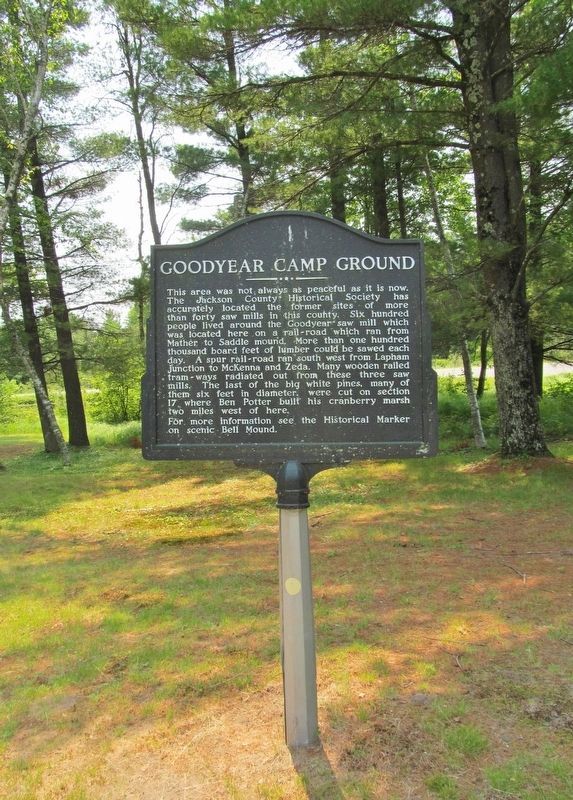
2. Goodyear Camp Ground Marker
Photographed by Keith L, July 3, 2021
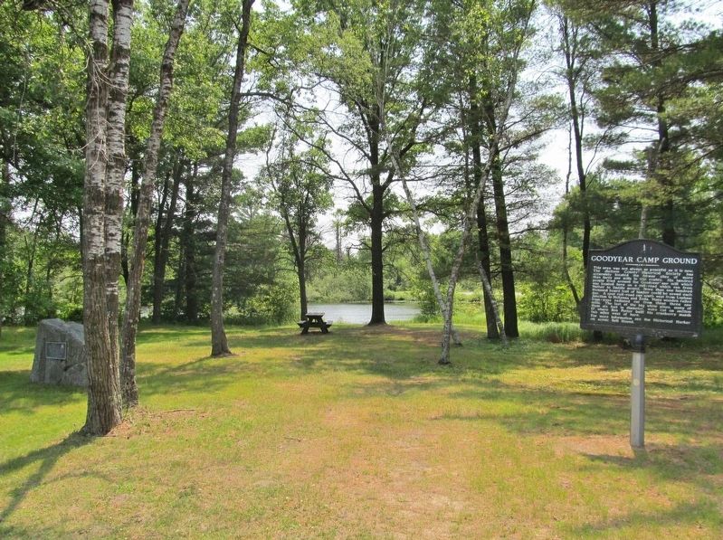
3. Goodyear Merlin Lambert Park
Photographed by Keith L, July 3, 2021
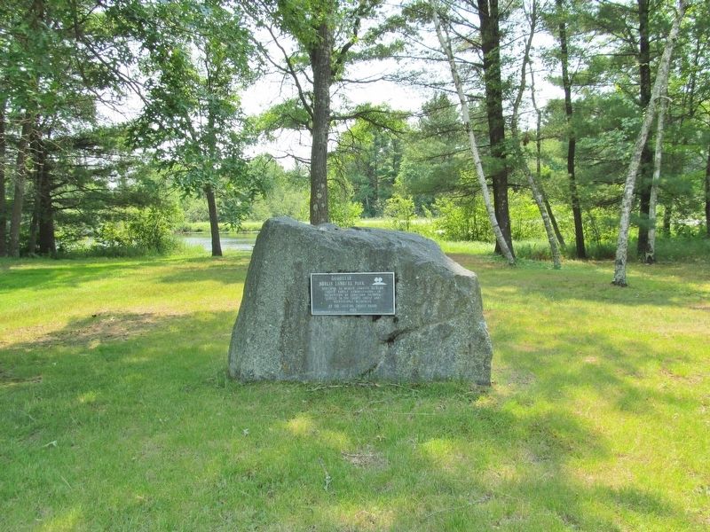
4. Nearby Plaque
Photographed by Keith L, July 3, 2021
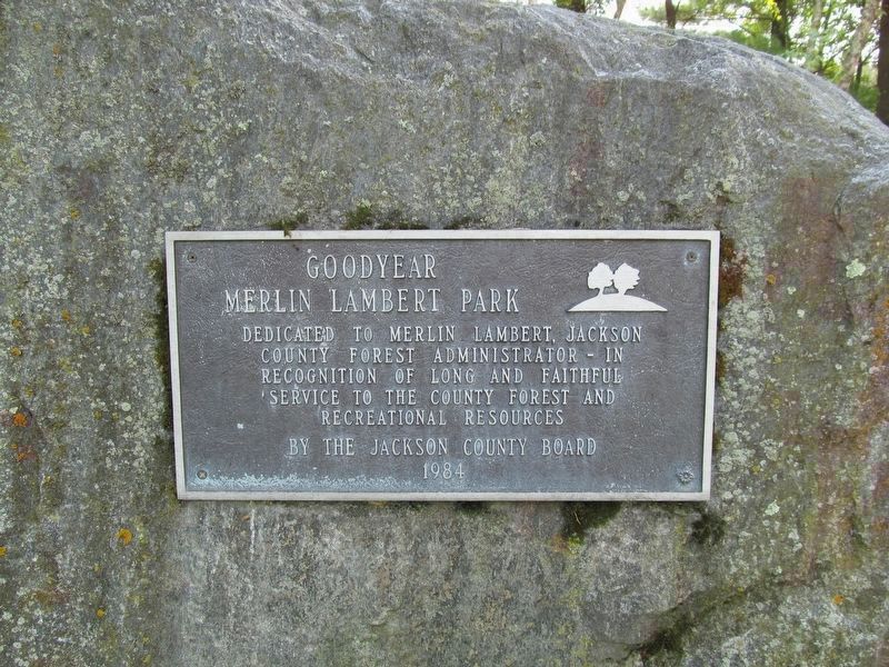
5. Goodyear Merlin Lambert Park
Dedicated to Merlin Lambert, Jackson County Forest Administrator - in recognition of long and faithful service to the county forest and recreational resources.
By the Jackson County Board 1984
Credits. This page was last revised on July 4, 2021. It was originally submitted on July 4, 2021, by Keith L of Wisconsin Rapids, Wisconsin. This page has been viewed 702 times since then and 77 times this year. Photos: 1, 2, 3, 4, 5. submitted on July 4, 2021, by Keith L of Wisconsin Rapids, Wisconsin.
