Near Cumby in Hopkins County, Texas — The American South (West South Central)
Mt. Zion Churches and Cemetery
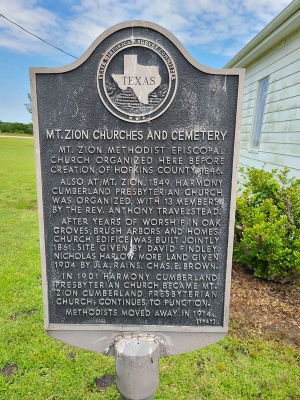
Mt. Zion Methodist Episcopal Church organized here before creation of Hopkins County, 1846.
Also at Mt. Zion, 1849, Harmony Cumberland Presbyterian Church was organized with 13 members, by the Rev. Anthony Travelstead.
After years of worship in oak groves, brush arbors and homes, church edifice was built jointly 1861. Site given by David Findley, Nicholas Harlow. More land given 1904 by J. A. Rains, Chas. E. Brown.
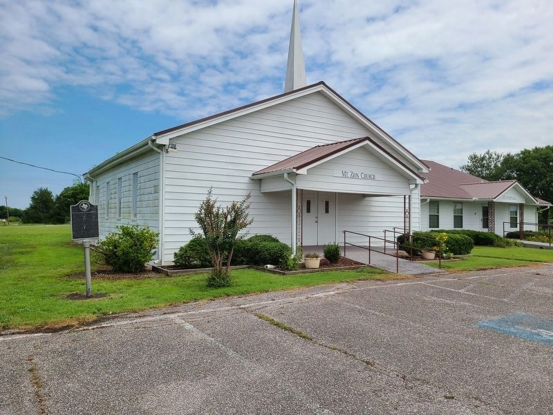
In 1901 Harmony Cumberland Presbyterian Church became Mt. Zion Cumberland Presbyterian Church; continues to function.
Methodists moved away in 1914.
Erected 1967 by State Historical Survey Committee. (Marker Number 7318.)
Topics. This historical marker is listed in these topic lists: Cemeteries & Burial Sites • Churches & Religion. A significant historical year for this entry is 1846.
Location. 33° 12.123′ N, 95° 50.002′ W. Marker is near Cumby, Texas, in Hopkins County. Marker is at the intersection of Highway 11 and Highway 4724, on the left when traveling west on Highway 11. Touch for map. Marker is in this post office area: Cumby TX 75433, United States of America. Touch for directions.
Other nearby markers. At least 8 other markers are within 5 miles of this marker, measured as the crow flies. Oakland Cumberland Presbyterian Church (approx. 3.9 miles away); Stewart Cemetery (approx. 4 miles away); John T. Knight (approx. 4.4 miles away); Cumby (approx. 4˝ miles away); Josiah Hart Jackson, Texas Ranger (approx. 4.6 miles away); Mt. Moriah Temple Baptist Church (approx. 4.7 miles away); Site of Early Commerce Schools (approx. 4.8 miles away); First Christian Church of Commerce (approx. 5 miles away).
Credits. This page was last revised on July 10, 2021. It was originally submitted on July 4, 2021, by Jesse Nelsen of Farmersville, Texas. This page has been viewed 182 times since then and 21 times this year. Photos: 1, 2. submitted on July 5, 2021, by Jesse Nelsen of Farmersville, Texas. • J. Makali Bruton was the editor who published this page.

