Folsom in Sacramento County, California — The American West (Pacific Coastal)
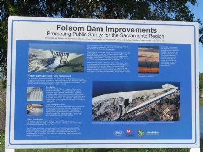
Folsom Dam Improvements
Promoting Public Safety for the Sacramento Region
Photographed by Syd Whittle, April 4, 2009
1. Folsom Dam Improvements Marker
Folsom Dam and Reservoir are a component of the Central Valley Project, owned and operated by the Bureau of Reclamation, Mid-Pacific Region, Central California Area Office
Construction of Folsom Dam by the Corps began in October 1948 and was completed in May 1956. Folsom Dam was then transferred to Reclamation for operation.
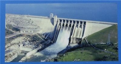
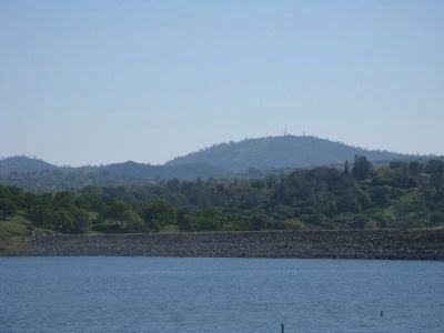
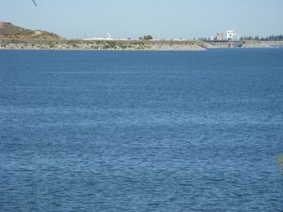
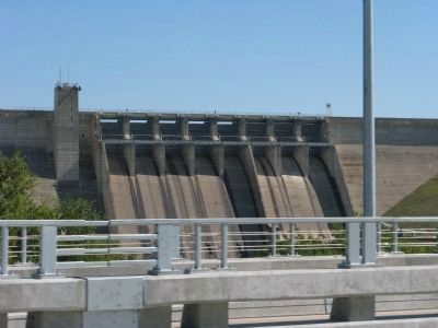
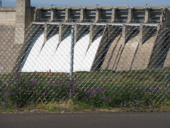
Folsom Dam is a concrete gravity dam 340 feet high and 1,400 feet long flanked by left and right earthfill wing dams. “The Folsom Facility” also includes Mormon Island Auxiliary Dam and eight earthfill dikes. The storage capacity for the reservoir is 977,000 acre-feet at an elevation of 466 feet.
Water was first stored in February 1955. The Folsom Facility provides for water for municipal and industrial use and agriculture; generates 10 percent of local hydropower needs; maintains flows and water temperatures to support fish and wildlife; provides flows for Sacramento-San Joaquin Bay-Delta water quality; and offers recreation for 2 million visitors annually.
this page online
Dam Safety
Under the Safety of Dams Program, Reclamation identified the need for expedited action to reduce hydrologic (flood), seismic (earthquake), and static (seepage) risks. These events have low probability of occurrence in a given year; however, due to large population downstream and adjacent to Folsom Dam, modifying the facility is prudent and required to improve public safety.
Flood Damage Reduction
The Corps, in partnership with the Central Valley Flood Protection Board (formerly the State Reclamation Board), and the Sacramento Area Flood Control Agency (SAFCA), identified the need to reduce the risk of
Photographed by Syd Whittle, April 4, 2009
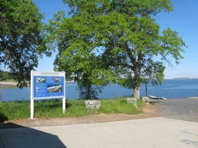
2. Folsom Dam Improvements Marker with Folsom Lake in the Background
Project Coordination
The auxiliary spillway, or Joint Federal Project (JFP), represents an unprecedented partnership among Reclamation, the Corps, the Central Valley Flood Protection Board, and SAFCA.
The JFP was developed to coordinate efforts of both Reclamation and the Corps at the Folsom Facility. Through their cooperation, Reclamation and the Corps seek to integrate related dam safety and flood-risk reduction improvements. Additionally, both agencies are planning other improvements separate from the JFP.
Erected by U.S. Department of the Interior-Bureau of Reclamation, US Army Corps of Engineers, Central Valley Flood Protection Board-State of California and the Sacramento Area Flood Control Agency.
Topics. This historical marker is listed in these topic lists: Bridges & Viaducts • Charity & Public Work • Industry & Commerce • Waterways & Vessels. A significant historical month for this entry is February 1955.
Location. 38° 41.734′ N, 121° 7.76′ W. Marker is in Folsom, California, in Sacramento County. It can be reached from East Natoma
Photographed by Syd Whittle, April 4, 2009
3. Close-Up of Photo Displayed on Marker

Regionally, this marker is in Sacramento Metro, in the Sacramento Valley, and specifically in the Central Valley. It is also on the American Pacific Coast. Globally, it is in North America, on the Ring of Fire, on the Pacific Rim, in the Western Hemisphere, in the Western World, and in the Anglosphere. Historically, it finds itself in what was once New Spain and also Mexico’s Alta California.
Other nearby markers. At least 8 other markers are within 2 miles of this marker, measured as the crow flies: Mormon Island (approx. ¼ mile away); Johnny Cash Trail (approx. 0.8 miles away); Prairie City Cemetery (approx. 1.1 miles away); Mormon Island Relocation Cemetery (approx. 1.1 miles away); Mormon Island, Negro Hill, Salmon Falls, and Condemned Bar (approx. 1.1 miles away); Railroad Gate (approx. 1.7 miles away); Prison Doodlebug (approx. 1.7 miles away); Fire Extinguisher
Photographed by Syd Whittle, April 4, 2009
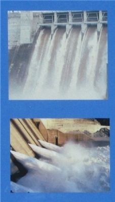
4. Close-Up of Photos Displayed on Marker
Also see . . . California State Parks. Folsom Dam Facts & Questions (Submitted on April 4, 2009, by Syd Whittle of Mesa, Arizona.)
Additional keywords. 21st Century
Photographed by Syd Whittle, April 4, 2009
5. Close-Up of Photo Displayed on Marker
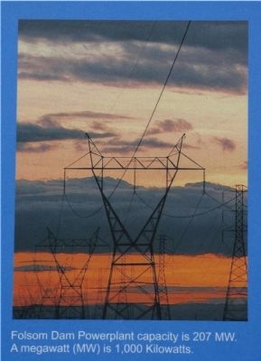
Folsom Dam Powerplant capacity is 207 MW. A megawatt (MW) is 1,000 Kilowatts.
Photographed by Syd Whittle, April 4, 2009
6. Close-Up of Photo Displayed on Marker
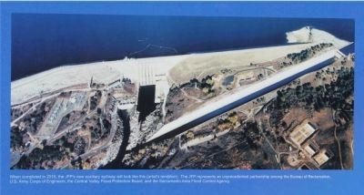
When completed in 2015, the JFP’s new auxiliary spillway will look like this (artist’s rendition). The JFP represents an unprecedented partnership among the Bureau of Reclamation, U.S. Army Corps of Engineers, the Central Valley Flood Protection Board, and the Sacramento Area Flood Control Agency.
Photographed by Syd Whittle, April 4, 2009
7. The Mormon Island Auxiliary Dam Mentioned in Marker Text
Photographed by Syd Whittle, April 4, 2009
8. The Mormon Island Auxiliary Dam Mentioned in Marker Text
Photographed by Syd Whittle, April 4, 2009
9. Folsom Lake with Folsom Dam in the Background
Photographed by Syd Whittle, April 4, 2009
10. Folsom Dam
Photographed by Syd Whittle, April 6, 2009
11. Folsom Dam - Two Days Later
Credits. This page was last revised on August 18, 2020. It was originally submitted on April 4, 2009, by Syd Whittle of Mesa, Arizona. This page has been viewed 4,288 times since then and 48 times this year. Photos: 1, 2, 3, 4, 5, 6, 7, 8, 9, 10. submitted on April 4, 2009, by Syd Whittle of Mesa, Arizona. 11. submitted on April 6, 2009, by Syd Whittle of Mesa, Arizona.
