Near Chelsea in Washtenaw County, Michigan — The American Midwest (Great Lakes)
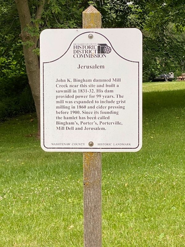
Jerusalem
Erected by Washtenaw County Historic Distric Commission.
Topics. This historical marker is listed in these topic lists: Industry & Commerce • Settlements & Settlers. A significant historical year for this entry is 1831.
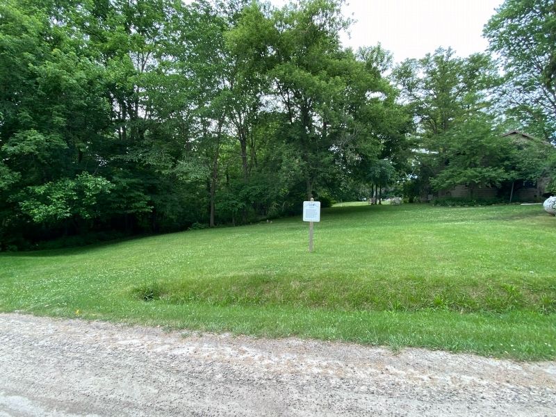
Location. 42° 16.466′ N, 83° 58.911′ W. Marker is near Chelsea, Michigan, in Washtenaw County. Marker is at the intersection of South Fletcher Road and Haist Road, on the right when traveling south on South Fletcher Road. Touch for map. Marker is at or near this postal address: 1240 South Fletcher Road, Chelsea MI 48118, United States of America. Touch for directions.
Other nearby markers. At least 8 other markers are within 4 miles of this marker, measured as the crow flies. Zion Lutheran Church (approx. 2˝ miles away); Vermont Cemetery (approx. 2.6 miles away); Oak Grove Cemetery Civil War Memorial (approx. 3˝ miles away); Bicentennial Celebration of the United States of America (approx. 3˝ miles away); Sesquicentennial Celebration of the Village of Chelsea (approx. 3˝ miles away); Oak Grove Cemetery-Chelsea (approx. 3.6 miles away); Historic Downtown Chelsea (approx. 3.6 miles away); Park Street, East of Main Street (approx. 3.6 miles away). Touch for a list and map of all markers in Chelsea.
Credits. This page was last revised on October 15, 2022. It was originally submitted on July 5, 2021, by J.T. Lambrou of New Boston, Michigan. This page has been viewed 105 times since then and 21 times this year. Photos: 1, 2. submitted on July 5, 2021, by J.T. Lambrou of New Boston, Michigan. • Bill Pfingsten was the editor who published this page.

