Colonial Beach in Westmoreland County, Virginia — The American South (Mid-Atlantic)
Skiff
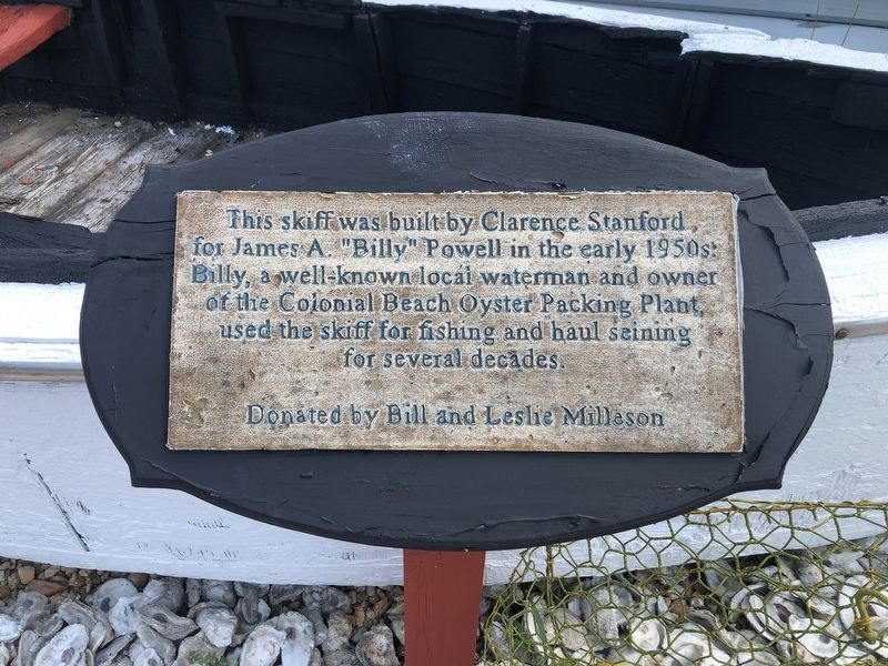
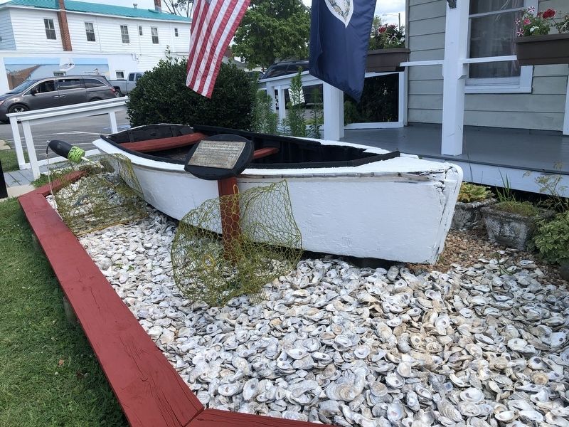
This skiff was built by Clarence Stanford for James A. "Billy" Powell in the early 1950s. Billy, a well-known local waterman and owner of the Colonial Beach Oyster Packing Plant, used the skiff for fishing and haul seining for several decades.
Donated by Bill and Leslie Milleson
Topics. This historical marker is listed in these topic lists: Animals • Industry & Commerce • Waterways & Vessels.
Location. 38° 15.041′ N, 76° 57.792′ W. Marker is in Colonial Beach, Virginia, in Westmoreland County. It is at the intersection of Hawthorn Street and Washington Avenue, on the right when traveling east on Hawthorn Street. Touch for map. Marker is at or near this postal address: 128 Hawthorn St, Colonial Beach VA 22443, United States of America. Touch for directions.

Regionally, this marker is on the Northern Neck. It is also in the American South, specifically in the Upper South, in the Tidewater, in the Chesapeake Bay Region, and on the Eastern Seaboard. Globally, it is in the North Atlantic Region, North America, the Western Hemisphere, the Western World,
this page online
Other nearby markers. At least 8 other markers are within 2 miles of this marker, measured as the crow flies: Colonial Beach Roll of Honor (about 700 feet away, measured in a direct line); Potomac River Oyster Wars (approx. 1.3 miles away); Lunsford Point (approx. 1.3 miles away); James Monroe's Legacy (approx. 1.4 miles away); Journey's End (approx. 1.4 miles away); Monroe Creek (approx. 1.4 miles away); The Monroe Doctrine (approx. 1½ miles away); "Era of Good Feelings" (approx. 1½ miles away). Touch for a list and map of all markers in Colonial Beach.
Credits. This page was last revised on November 16, 2022. It was originally submitted on July 6, 2021, by Devry Becker Jones of Washington, District of Columbia. This page has been viewed 233 times since then and 44 times this year. Photos: 1, 2. submitted on July 6, 2021, by Devry Becker Jones of Washington, District of Columbia.
