Presidio of San Francisco in San Francisco City and County, California — The American West (Pacific Coastal)
Bridging the Gate — the Beginning
Inscription.
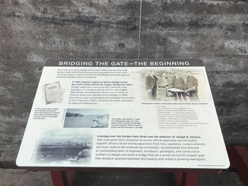
San Francisco grew rapidly in the early 1900s, but the mile-wide Golden Gate Strait limited access and development to the north. Traveling north to Marin County and the Redwood Empire beyond required a lengthy trip by ferryboat.
In 1923, popular support to build a bridge across the strait united behind the slogan “Bridge the Gate." Bridge supporters convinced the California state legislature to create a special district, the Golden Gate Bridge and Highway District, as the entity to finance, build, and operate such a bridge. In 1928, the District was incorporated and included the counties of San Francisco, Marin, Sonoma, Del Norte, and parts of Napa and Mendocino.
A bridge over the Golden Gate Strait was the ambition of Joseph B. Strauss, who overcame many obstacles to secure official approvals and win public support. Strauss faced strong opposition from ferry operators, conservationists, and even some in the engineering community. He assembled and directed an outstanding team of engineers, architects, geologists, and construction workers to design and build a bridge that set a world record for longest span (the distance spanned between the towers) and united a growing metropolis.
Captions:
Left: In November 1930, despite the ongoing hardships of the Great Depression, District voters approved $35 million in bonds. At last, the Bridge could be built.
Center: The Golden Gate Strait, 1.7 miles (2.7 kilometers) wide, as it was before (left) and after the Bridge was built (below). Marin County is at left and San Francisco is at right.
Right: Chief Engineer Strauss reviews plans with some of the key design consultants
Left to right:
• O.H. Ammann, consulting engineer and designer of the George Washington Bridge
• Charles Derleth, Jr., consulting engineer and dean of engineering, University of California
• Andrew C. Lawson, consulting geologist and professor of geology, University of California
• Joseph B. Strauss, chief engineer; Golden Gate Bridge, and principal, Strauss Engineering
• Leon S. Moisseiff, consulting engineer and leading bridge theoretician
Erected 2012 by Golden Gate Bridge, Highway and Transportation District.
Topics. This historical marker is listed in this topic list: Bridges & Viaducts. A significant historical month for this entry is November 1930.
Location. 37° 48.487′ N, 122° 28.547′ W. Marker is in San Francisco, California, in San Francisco City and County. It is in Presidio of San Francisco. Marker can be reached from Coastal Trail. Marker is in the Battery Lancaster exhibit area of the Golden Gate Bridge Vista Point South. Touch for map
. Marker is in this post office area: San Francisco CA 94129, United States of America. Touch for directions.
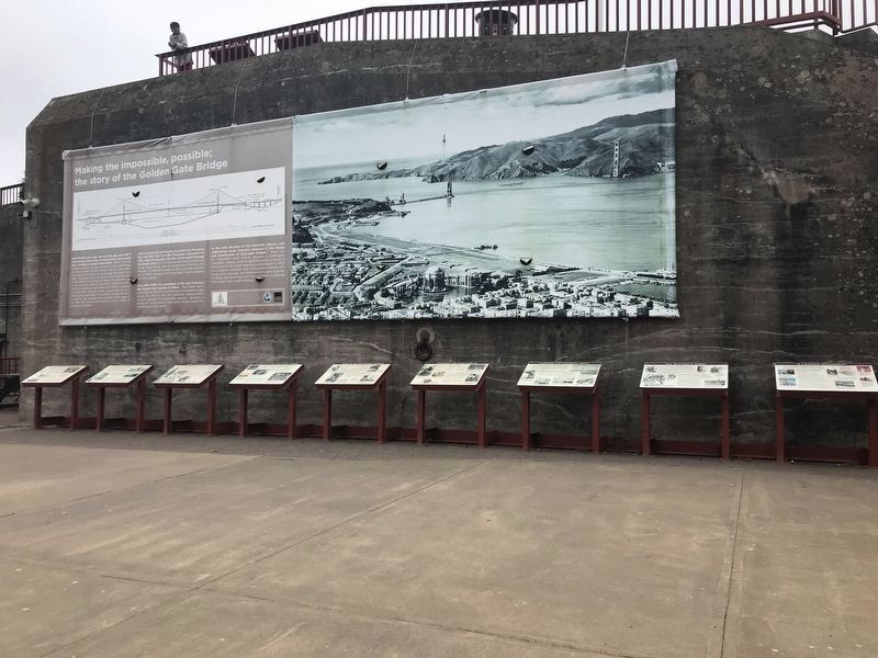
Other nearby markers. At least 8 other markers are within walking distance of this marker. Making the Impossible, Possible: The Story of the Golden Gate Bridge (here, next to this marker); Engineering the Design (here, next to this marker); Working Under Water (here, next to this marker); A Bathtub for the South Tower (here, next to this marker); Fort Point Arch (here, next to this marker); World's Tallest Bridge Towers (here, next to this marker); Spinning the Main Cables (here, next to this marker); Hanging the Roadway Deck (a few steps from this marker). Touch for a list and map of all markers in San Francisco.
Credits. This page was last revised on February 7, 2023. It was originally submitted on July 6, 2021, by Duane and Tracy Marsteller of Murfreesboro, Tennessee. This page has been viewed 106 times since then and 9 times this year. Photos: 1, 2. submitted on July 6, 2021, by Duane and Tracy Marsteller of Murfreesboro, Tennessee.

