Presidio of San Francisco in San Francisco City and County, California — The American West (Pacific Coastal)
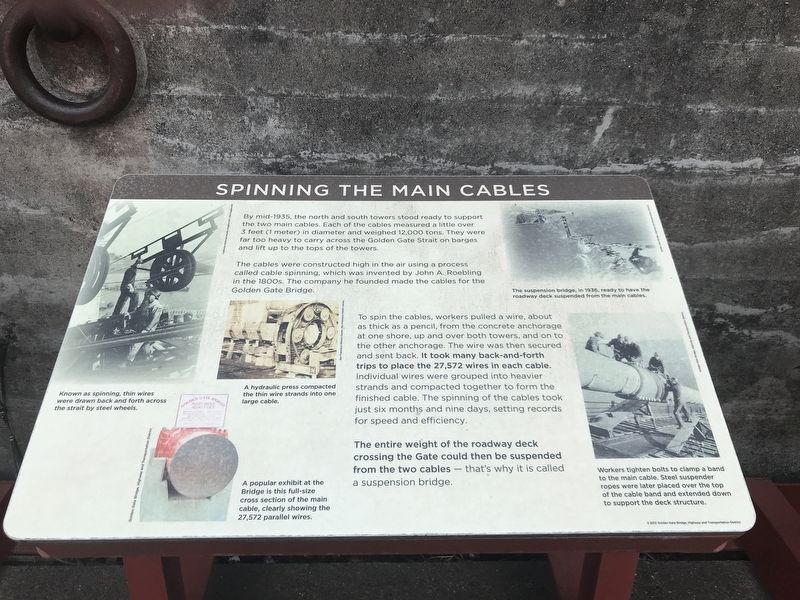
Spinning the Main Cables
The cables were constructed high in the air using a process called cable spinning, which was invented by John A. Roebling in the 1800s. The company he founded made the cables for the Golden Gate Bridge.
To spin the cables, workers pulled a wire, about as thick as a pencil, from the concrete anchorage at one shore, up and over both towers, and on to the other anchorage. The wire was then secured and sent back. It took many back-and-forth trips to place the 27,572 wires in each cable. Individual wires were grouped into heavier strands and compacted together to form the finished cable. The spinning of the cables took just six months and nine days, setting records for speed and efficiency.
The entire weight of the roadway deck crossing the Gate could then be suspended from the two cables — that's why it is called a suspension bridge.
Captions
Top left: Known as spinning, thin wires were drawn back and forth across the strait by steel wheels. California Historical Society, Huggins Coll, CHS.Huggins.012
Middle left: A hydraulic press compacted the thin wire strands into one large cable. San Francisco History Center, San Francisco Public Library
Bottom left: A popular exhibit at the Bridge is this full-size cross section of the main cable, clearly showing the 27,572 parallel wires. Golden Gate Bridge, Highway and Transportation District
Top right: The suspension bridge, in 1936, ready to have the roadway deck suspended from the main cables. Golden Gate Bridge, Highway and Transportation District
Bottom right: Workers tighten bolts to clamp a band to the main cable. Steel suspender ropes were later placed over the top of the cable band and extended down to support the deck structure. Golden Gate Bridge, Highway and Transportation District
Erected 2012 by Golden Gate Bridge, Highway and Transportation District.
Topics. This historical marker is listed in these topic lists: Architecture • Bridges & Viaducts. A significant historical year for this entry is 1935.
Location. 37° 48.49′ N, 122° 28.551′ W. Marker is in San Francisco, California, in San Francisco City and County. It is in Presidio of San Francisco. Marker can be reached from Coastal Trail. Marker is in the Battery Lancaster
exhibit area of the Golden Gate Bridge Vista Point South overlook. Touch for map. Marker is in this post office area: San Francisco CA 94129, United States of America. Touch for directions.
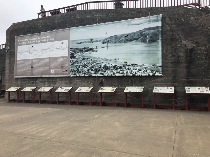
Other nearby markers. At least 8 other markers are within walking distance of this marker. Hanging the Roadway Deck (here, next to this marker); World's Tallest Bridge Towers (here, next to this marker); All in a Day's Work (here, next to this marker); A Bathtub for the South Tower (here, next to this marker); A Lasting Monument (here, next to this marker); Working Under Water (here, next to this marker); Fort Point Arch (here, next to this marker); Making the Impossible, Possible: The Story of the Golden Gate Bridge (here, next to this marker). Touch for a list and map of all markers in San Francisco.
Credits. This page was last revised on February 7, 2023. It was originally submitted on July 6, 2021, by Duane and Tracy Marsteller of Murfreesboro, Tennessee. This page has been viewed 209 times since then and 34 times this year. Photos: 1, 2. submitted on July 6, 2021, by Duane and Tracy Marsteller of Murfreesboro, Tennessee.

