San Pablo Tennis Club
An African American Community Organization
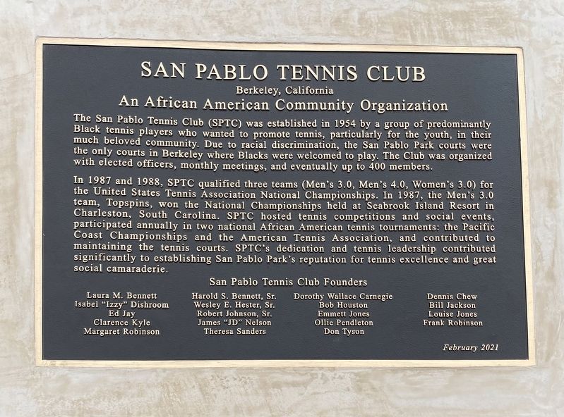
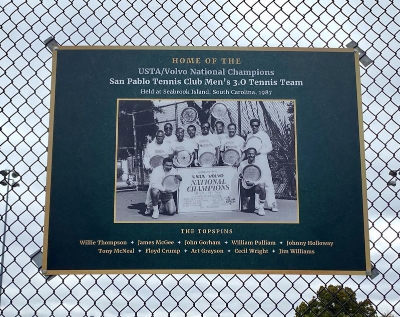
In 1987 and 1988, SPTC qualified three teams (Men's 3.0, Men's 4.0, Women's 3.0) for the United States Tennis Association National Championships. In 1987, the Men's 3.0 team, Topspins, won the National Championships held at Seabrook Island Resort in Charleston, South Carolina. SPTC hosted tennis competitions and social events, participated annually in two national African American tennis tournaments: the Pacific Coast Championships and the American Tennis Association, and contributed to maintaining the tennis courts. SPTC's dedication and tennis leadership contributed significantly to establishing San Pablo Park's reputation for tennis excellence and great social camaraderie.
San Pablo Tennis
this page online
Laura M. Bennett ·
Isabel "Izzy” Dishroom ·
Ed Jay ·
Clarence Kyle ·
Margaret Robinson ·
Harold S. Bennett, Sr. ·
Wesley E. Hester, Sr. ·
Robert Johnson, Sr. ·
James "JD” Nelson ·
Theresa Sanders ·
Dorothy Wallace Carnegie ·
Bob Houston ·
Emmett Jones ·
Ollie Pendleton ·
Don Tyson ·
Dennis Chew ·
Bill Jackson ·
Louise Jones ·
Frank Robinson
Erected 2021.
Topics. This historical marker is listed in these topic lists: African Americans • Sports. A significant historical year for this entry is 1954.
Location. 37° 51.298′ N, 122° 17.078′ W. Marker is in Berkeley, California, in Alameda County. It is in Southwest Berkeley. It is on Mabel Street south of Oregon Street, on the right when traveling north. Touch for map. Marker is in this post office area: Berkeley CA 94702, United States of America. Touch for directions.
Regionally, this marker is in the San Francisco Bay Area and on the Coast Ranges. It is also on the American Pacific Coast. Globally, it is in North America, on the Ring of Fire, on the Pacific Rim, in the Western Hemisphere, in the Western World,
Other nearby markers. At least 8 other markers are within walking distance of this marker: Frances Albrier (about 400 feet away, measured in a direct line); Rumford's Pharmacy (approx. 0.3 miles away); Santa Fe Railroad Tracks (approx. 0.3 miles away); Exxon Super Service Station (approx. 0.3 miles away); Burl Toler, Sr. (approx. 0.3 miles away); William Byron Rumford (February 2, 1908 - June 12, 1986) (approx. 0.3 miles away); Longfellow School (approx. 0.4 miles away); Site of Reid's Records (approx. 0.4 miles away). Touch for a list and map of all markers in Berkeley.
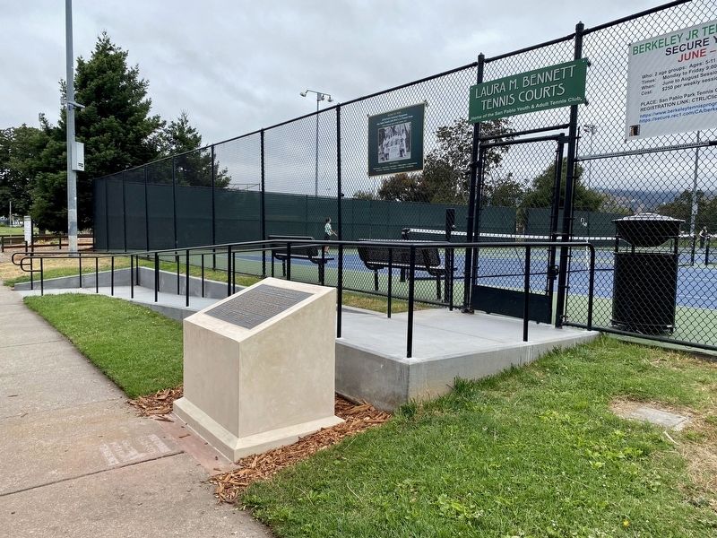
More about this marker. The marker is mounted to a cement monument located at the entrance to the tennis courts in San Pablo Park.
Credits. This page was last revised on February 7, 2023. It was originally submitted on July 6, 2021, by Andrew Ruppenstein of Lamorinda, California. This page has been viewed 1,222 times since then and 165 times this year. Photos: 1, 2, 3. submitted on July 6, 2021, by Andrew Ruppenstein of Lamorinda, California.
