Leipsic Junction
South San Francisco Historic Site
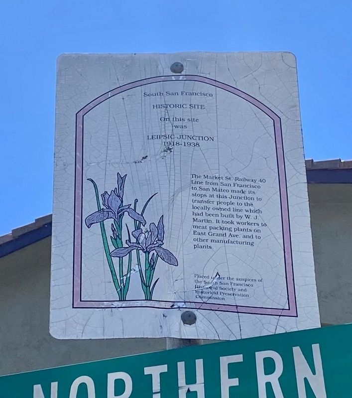
On this site was Leipsic Junction 1918-1938
The Market St. Railway 40
Line from San Francisco
to San Mateo made its
stops at this Junction to
transfer people to the
locally owned line which
had been built by W. J.
Martin. It took workers to
meat packing plants on
East Grand Ave, and to
other manufacturing
plants.
Erected by South San Francisco Historical Society, South San Francisco Historical Preservation Commission.
Topics. This historical marker is listed in this topic list: Railroads & Streetcars.
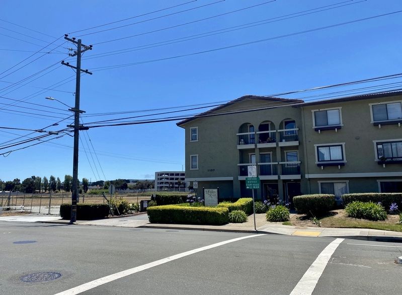
Location. 37° 39.606′ N, 122° 26.244′ W. Marker is in South San Francisco, California, in San Mateo County. It is at the intersection of Mission Road and Grand Avenue, on the left when traveling north on Mission Road. Touch for map. Marker is at or near this postal address: 1107 Mission Road, South San Francisco CA 94080, United States of America. Touch for directions.
Regionally, this marker is in California’s San Francisco Bay Area and on the Coast Ranges. It is also on the American Pacific Coast. Globally, it is in North America, on the
this page online
Other nearby markers. At least 8 other markers are within 2 miles of this marker, measured as the crow flies: Cuneo Farm and Produce Market (approx. 0.3 miles away); Hickey Home (approx. 0.6 miles away); McGovern Home (approx. 0.6 miles away); Sign Hill (approx. one mile away); Molloy’s Springs (approx. one mile away); Joe Cavalli – Historical Site (approx. one mile away); Waterworks and the Pump House (approx. one mile away); Plymire-Schwarz House (approx. 1.1 miles away). Touch for a list and map of all markers in South San Francisco.
Credits. This page was last revised on July 6, 2021. It was originally submitted on July 6, 2021, by Andrew Ruppenstein of Lamorinda, California. This page has been viewed 410 times since then and 35 times this year. Photos: 1, 2. submitted on July 6, 2021, by Andrew Ruppenstein of Lamorinda, California.
