Sewickley in Allegheny County, Pennsylvania — The American Northeast (Mid-Atlantic)
Down The Ohio
In 1803
— The Trap —
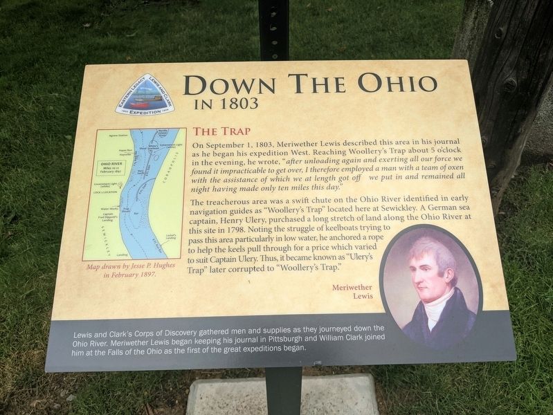
The treacherous area was a swift chute on the Ohio River identified in early navigation guides as "Woollery's Trap” located here at Sewickley. A German sea captain, Henry Ulery, purchased a long stretch of land along the Ohio River at this site in 1798. Noting the struggle of keelboats trying to pass this area particularly in low water, he anchored a rope to help the keels pull through for a price which varied to suit Captain Ulery. Thus, it became known as "Ulery's Trap” later corrupted to "Woollery's Trap"
Lewis and Clark's Corps of Discovery gathered men and supplies as they journeyed down the Ohio River. Meriwether Lewis began keeping his journal in Pittsburgh and William Clark joined him at the Falls of the Ohio as the first of the great expeditions began.
Erected 2021 by Eastern Legacy Lewis and Clark Expedition.
Topics and series. This historical marker is listed in these topic lists: Exploration • Waterways & Vessels. In addition, it is included in the Lewis & Clark Expedition series list. A significant historical date for this entry is September 1, 1803.
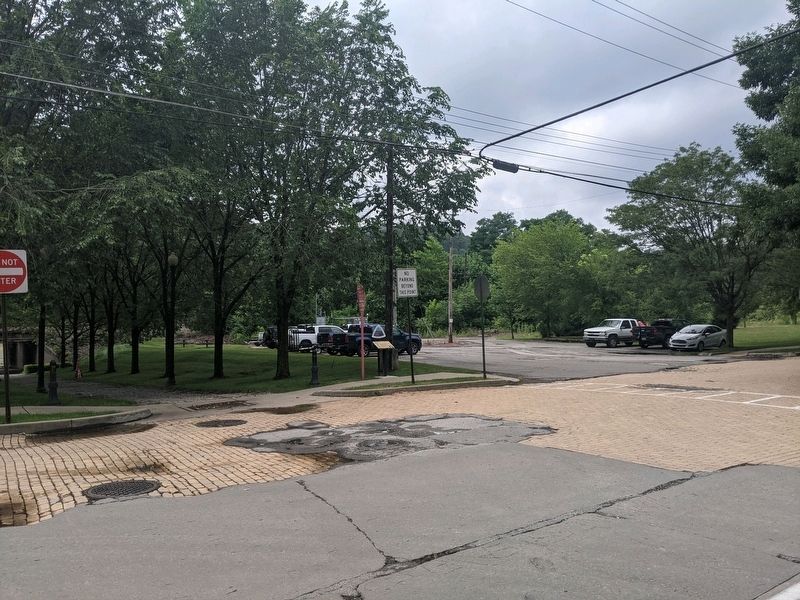
Location. 40° 32.171′ N, 80° 11.24′ W. Marker is in Sewickley, Pennsylvania, in Allegheny County. Marker is at the intersection of Chadwick Street and Walnut Street, on the right when traveling east on Chadwick Street. Touch for map. Marker is in this post office area: Sewickley PA 15143, United States of America. Touch for directions.
Other nearby markers. At least 8 other markers are within walking distance of this marker. Capt. Frederick Way, Jr. (about 600 feet away, measured in a direct line); Old Sewickley Post Office (approx. 0.2 miles away); This Memorial is Dedicated to (approx. 0.2 miles away); Atwell-Christy House (approx. ¼ mile away); Sewickley Public Library (approx. 0.4 miles away); St. Matthews African Methodist Episcopal Zion Church (approx. 0.4 miles away); The Pittsburgh, Fort Wayne and Chicago Station (approx. 0.4 miles away); Depreciation Lands Survey (approx. 0.4 miles away). Touch for a list and map of all markers in Sewickley.
Credits. This page was last revised on January 18, 2023. It was originally submitted on July 9, 2021, by Mike Wintermantel of Pittsburgh, Pennsylvania. This page has been viewed 361 times since then and 25 times this year. Photos: 1, 2, 3. submitted on July 9, 2021, by Mike Wintermantel of Pittsburgh, Pennsylvania.


