Near Port Orford in Curry County, Oregon — The American West (Northwest)
Toward a New Century
When their father, Patrick Hughes, died from a tragic horse accident in 1901, the three bachelor sons took over the farm. The quiet, serious eldest son, Edward, acted as the manager. Francis, who later married, became the farm's bookkeeper.
Some new farming inventions were successful, others were not. A gas-powered milking machine was tried, but was discarded in favor of the old hand-milking methods. A steam-driven paddle churned the butter, which was then shipped to San Francisco. Some of the milk was sold to the growing Oregon cheese industry.
The profits from the prosperous farm were divided among the seven Hughes children each winter. There was always money left for education and church and community projects. They were able to build a huge, modern barn on the slope below where you stand.
By the early 1940s, it became hard to find good dairy hands, when World War II called up the men of Port Orford. The sons decided to focus on sheep and cattle ranching instead.
Topics. This historical marker is listed in these topic lists: Agriculture • Industry & Commerce. A significant historical year for this entry is 1901.
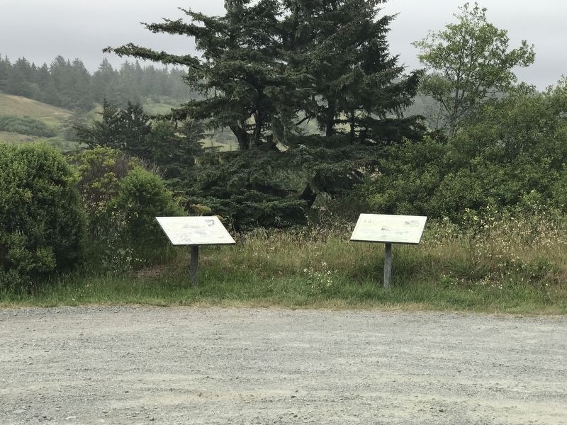
Location. 42° 50.479′ N, 124° 32.241′ W. Marker is near Port Orford, Oregon, in Curry County. Marker can be reached from Cape Blanco Road, 3.9 miles west of U.S. 101, on the right when traveling west. Marker is on the entrance road to the Historic Hughes House in Cape Blanco State Park. Touch for map. Marker is at or near this postal address: 91816 Cape Blanco Road, Port Orford OR 97465, United States of America. Touch for directions.
Other nearby markers. At least 8 other markers are within 8 miles of this marker, measured as the crow flies. We Have a River in Common (here, next to this marker); Lifeline to the Past (about 400 feet away, measured in a direct line); The Pioneer Will ... and the Pioneer Way (about 500 feet away); Building Community Cornerstones (approx. 0.3 miles away); a different marker also named Lifeline to the Past (approx. 1.1 miles away); Oregon Beach Gold (approx. 3.1 miles away); Battle Rock City Park (approx. 7.2 miles away); Wreck of the Cottoneva (approx. 7.2 miles away). Touch for a list and map of all markers in Port Orford.
Credits. This page was last revised on July 11, 2021. It was originally submitted on July 10, 2021, by Duane and Tracy Marsteller of Murfreesboro, Tennessee. This page has been viewed 74 times since then and 4 times this year. Photos: 1, 2. submitted on July 10, 2021, by Duane and Tracy Marsteller of Murfreesboro, Tennessee.

