
Beech Bottom in Brooke County, West Virginia — The American South (Appalachia)
West Virginia Flying Corps
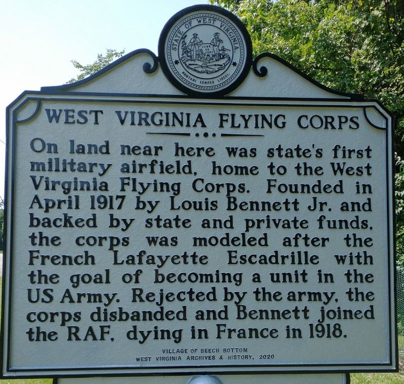
Photographed by Craig Doda, July 3, 2021
1. West Virginia Flying Corps Marker
Erected 2020 by West Virginia Archives & History.
Topics and series. This historical marker is listed in these topic lists: Air & Space • War, World I. In addition, it is included in the West Virginia Archives and History series list. A significant historical month for this entry is April 1917.
Location. 40° 14.053′ N, 80° 39.15′ W. Marker is in Beech Bottom, West Virginia, in Brooke County. It is on River Road (West Virginia Route 2) 0.2 miles north of Caroline Avenue, on the left when traveling north. Touch for map. Marker is at or near this postal address: 10344 River Rd, Beech Bottom WV 26030, United States of America. Touch for directions.

Regionally, this marker is in the Northern Panhandle and in the High Valley. It is also in the American
this page online
Other nearby markers. At least 8 other markers are within 3 miles of this marker, measured as the crow flies: Beech Bottom Fort (approx. half a mile away); Beech Bottom Iraq War Veterans Memorial (approx. half a mile away); Beech Bottom, W.V. World War II Honor Roll (approx. half a mile away); Bethany Turnpike Tunnels (approx. 2.9 miles away); Waugh Flour Mills (approx. 2.9 miles away); Isaac H. Duval (approx. 3 miles away); Isaac Duvall and Company (approx. 3 miles away); Wellsburg (approx. 3 miles away). Touch for a list and map of all markers in Beech Bottom.
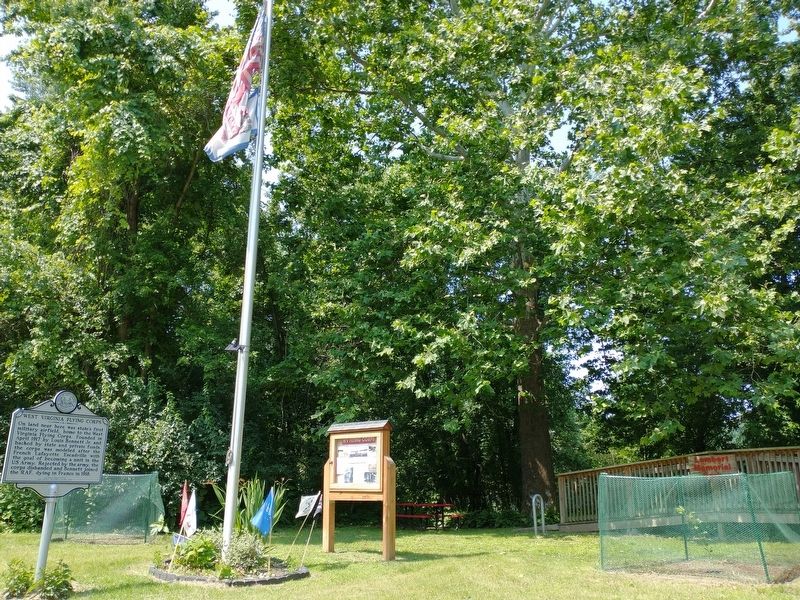
Photographed by Craig Doda, July 3, 2021
2. West Virginia Flying Corps Marker
Credits. This page was last revised on July 12, 2021. It was originally submitted on July 10, 2021, by Craig Doda of Napoleon, Ohio. This page has been viewed 501 times since then and 30 times this year. Photos: 1, 2. submitted on July 10, 2021, by Craig Doda of Napoleon, Ohio. • Devry Becker Jones was the editor who published this page.
