Lexington in Lauderdale County, Alabama — The American South (East South Central)
Andrew Lee Phillips
1855-1938
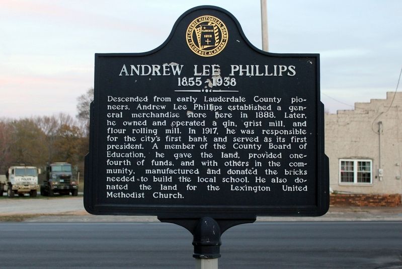
Photographed by Tim Fillmon, November 21, 2020
1. Andrew Lee Phillips Marker
Erected by Florence Historical Board.
Topics. This historical marker is listed in these topic lists: Education • Industry & Commerce • Religion & Religious Structures. A significant historical year for this entry is 1888.
Location. 34° 58.11′ N, 87° 22.278′ W. Marker is in Lexington, Alabama, in Lauderdale County. It is at the intersection of Alabama Route 101 and County Route 71, on the right when traveling south on Alabama Route 101. Touch for map. Marker is in this post office area: Lexington AL 35648, United States of America. Touch for directions.

Regionally, this
this page online
Other nearby markers. At least 8 other markers are within 8 miles of this marker, measured as the crow flies: Early History of Lexington (about 500 feet away, measured in a direct line); French-Glover Farm (approx. 1.7 miles away); Mount Pleasant Baptist Church (approx. 2.9 miles away); Grassy Memorial Chapel and Cemetery (approx. 4 miles away); Springfield Community / Springfield Church and School (approx. 5.6 miles away); Town of Anderson (approx. 6.6 miles away); Hugh Pate Harris (approx. 6.6 miles away); Gabriel Butler Cemetery (approx. 7.2 miles away). Touch for a list and map of all markers in Lexington.
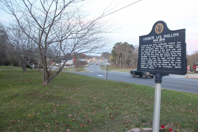
Photographed by Tim Fillmon, November 21, 2020
2. Andrew Lee Phillips Marker looking north
Credits. This page was last revised on July 11, 2021. It was originally submitted on July 11, 2021, by Tim Fillmon of Webster, Florida. This page has been viewed 607 times since then and 40 times this year. Photos: 1, 2. submitted on July 11, 2021, by Tim Fillmon of Webster, Florida.
