Indianola in Red Willow County, Nebraska — The American Midwest (Upper Plains)
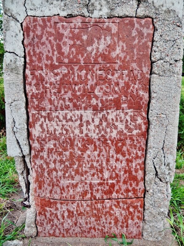
First Homestead in Red Willow Co.
Photographed by Cosmos Mariner, July 6, 2021
1. First Homestead in Red Willow Co. Marker
William W. W. Jones
Jan. 10, 1872
• • •
Beginning of the
white settlement
and development
of the county.
• • •
Later
[not legible]
1884 and 1885
• • •
Dedicated 1904 to
[not legible] Pioneer
Erected 1904.
Topics. This historical marker is listed in this topic list: Settlements & Settlers. A significant historical date for this entry is January 10, 1872.
Location. 40° 14.105′ N, 100° 30.389′ W. Marker is in Indianola, Nebraska, in Red Willow County. It is at the intersection of U.S. 6/34 and Drive 391, on the right when traveling west on U.S. 6/34. Touch for map. Marker is in this post office area: Indianola NE 69034, United States of America. Touch for directions.

Regionally, this marker is in Eastern Nebraska and in the Republican River Valley. It is also in the American Midwest, in the Corn Belt, and on the prairies. Globally, it is in North America, the Western Hemisphere, the Western World, and the Anglosphere. Historically, it finds itself in what was once the Louisiana Purchase.
Other nearby markers. At least 8 other markers are within 7 miles of this marker, measured as the crow flies: Historic Red Willow School
this page online
Photographed by Cosmos Mariner, July 6, 2021
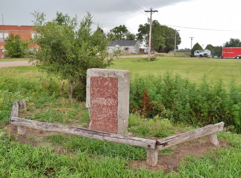
2. First Homestead in Red Willow Co. Marker
Credits. This page was last revised on July 11, 2021. It was originally submitted on July 11, 2021, by Cosmos Mariner of Cape Canaveral, Florida. This page has been viewed 405 times since then and 27 times this year. Photos: 1, 2. submitted on July 11, 2021, by Cosmos Mariner of Cape Canaveral, Florida.
