Seal Rock in Lincoln County, Oregon — The American West (Northwest)
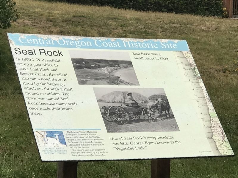
Seal Rock
Central Oregon Coast Historic Site
Captions:
(top): Seal Rock was a small resort in 1909.
(bottom): One of Seal Rock's early residents was Mrs. George Ryan, known as the "Vegetable Lady."
Erected by The Lincoln County Historical Society.
Topics. This historical marker is listed in these topic lists: Animals • Industry & Commerce • Settlements & Settlers. A significant historical year for this entry is 1890.
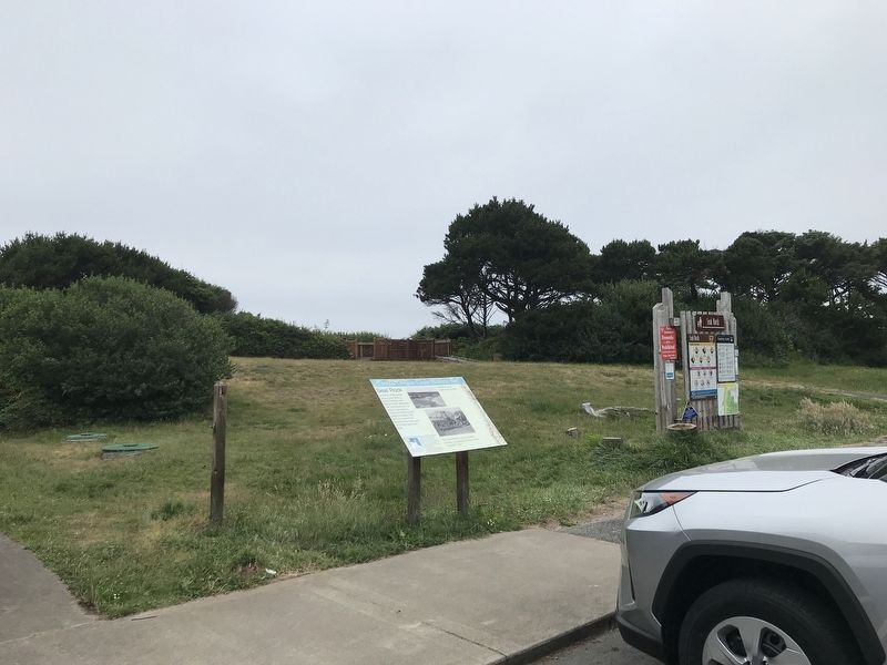
Location. 44° 29.817′ N, 124° 4.995′ W. Marker is in Seal Rock, Oregon, in Lincoln County. Marker can be reached from Northwest Pacific Coast Highway (U.S. 101 at milepost 151) south of NW Parkview Street, on the right when traveling south. Marker is near the restrooms in Seal Rock State Recreation Site. Touch for map. Marker is in this post office area: Seal Rock OR 97376, United States of America. Touch for directions.
Other nearby markers. At least 8 other markers are within 9 miles of this marker, measured as the crow flies. Waldport (approx. 5.1 miles away); Bayfront Beginnings (approx. 8.6 miles away); Bridging the Waters (approx. 8.6 miles away); Shipping News (approx. 8.6 miles away); South of the Bay (approx. 8.6 miles away); Protecting the Coast (approx. 8.6 miles away); Reeling Them In (approx. 8.6 miles away); Yaquina Bay Bridge (approx. 8.8 miles away).
Also see . . . Seal Rock History: 1900s. Pictorial overview of Seal Rock in the 20th century. (Submitted on July 11, 2021, by Duane and Tracy Marsteller of Murfreesboro, Tennessee.)
Credits. This page was last revised on July 11, 2021. It was originally submitted on July 11, 2021, by Duane and Tracy Marsteller of Murfreesboro, Tennessee. This page has been viewed 191 times since then and 28 times this year. Photos: 1, 2. submitted on July 11, 2021, by Duane and Tracy Marsteller of Murfreesboro, Tennessee.

