Lorain in Lorain County, Ohio — The American Midwest (Great Lakes)
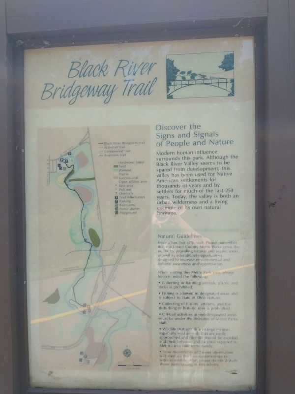
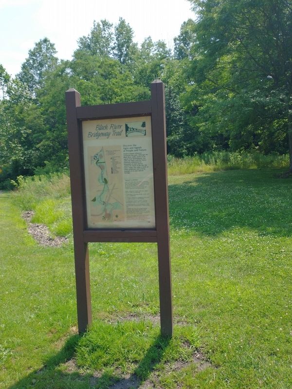
Black River Bridgeway Trail
Discover the Signs and Signals of People and Nature
Modern human influence surrounds this park. Although the Black River Valley seems to be spared from development, this valley has been used for Native American settlements for thousands of years and by settlers for much of the last 250 years. Today, the valley is both an urban wilderness and a living example of its own natural heritage.
Topics. This historical marker is listed in these topic lists: Native Americans • Settlements & Settlers.
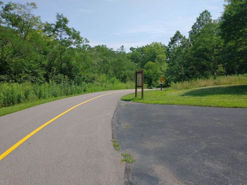
Location. 41° 26.502′ N, 82° 6.347′ W. Marker is in Lorain, Ohio, in Lorain County. Marker can be reached from East 31st Street, 0.2 miles east of Norfolk Avenue, on the right when traveling east. Touch for map. Marker is at or near this postal address: 2720 E 31st St, Lorain OH 44055, United States of America. Touch for directions.
Other nearby markers. At least 8 other markers are within 4 miles of this marker, measured as the crow flies. Valley Of The Giants (about 400 feet away, measured in a direct line); Burrell Homestead (approx. 0.9 miles away); Lorain County Community College (approx. 2.6 miles away); Timeline of Dr. Norton S. Townshend (approx. 3.7 miles away); Norton S. Townshend, M.D. (approx. 3.7 miles away); Shipbuilding (approx. 3.8 miles away); Jay Terrell and his "Terrible Fish" (approx. 3.8 miles away); Lorain Station 100 (approx. 4 miles away). Touch for a list and map of all markers in Lorain.
Credits. This page was last revised on July 15, 2021. It was originally submitted on July 11, 2021, by Craig Doda of Napoleon, Ohio. This page has been viewed 111 times since then and 9 times this year. Photos: 1, 2, 3. submitted on July 11, 2021, by Craig Doda of Napoleon, Ohio. • Devry Becker Jones was the editor who published this page.


