Pensacola in Escambia County, Florida — The American South (South Atlantic)
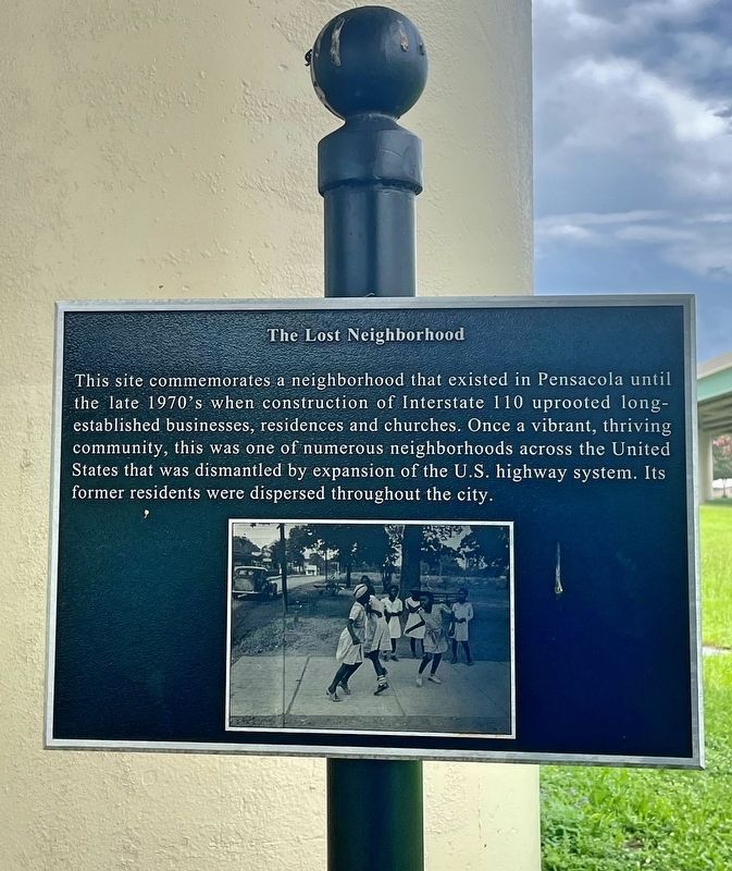
The Lost Neighborhood
— Eastside Neighborhood Black History Trail —
Topics. This historical marker is listed in these topic lists: African Americans • Roads & Vehicles.
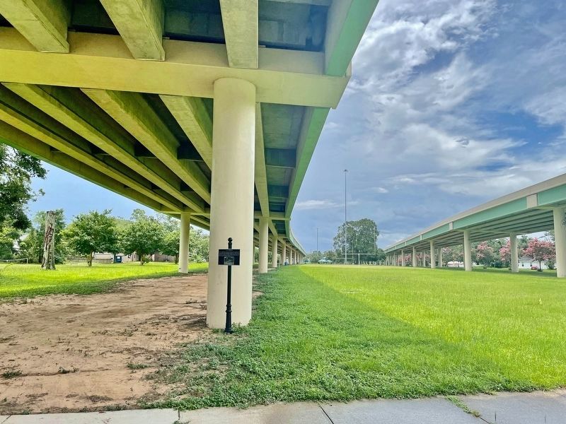
Location. 30° 26.062′ N, 87° 12.92′ W. Marker is in Pensacola, Florida, in Escambia County. Marker is on East Jordan Street east of North Haynes Street, on the right when traveling east. Touch for map. Marker is in this post office area: Pensacola FL 32503, United States of America. Touch for directions.
Other nearby markers. At least 8 other markers are within walking distance of this marker. Historic Crystal Icehouse (about 700 feet away, measured in a direct line); Spencer Bibbs Academy (approx. 0.2 miles away); A.S. Magee Field (approx. 0.2 miles away); General Daniel "Chappie" James, Jr. Memorial Park (approx. 0.3 miles away); E.S. Cobb Center (approx. 0.3 miles away); Spencer Bibbs (approx. half a mile away); Katharine A. Goldsmith R.N. (approx. half a mile away); H & O Café (approx. 0.7 miles away). Touch for a list and map of all markers in Pensacola.
Credits. This page was last revised on July 11, 2021. It was originally submitted on July 11, 2021, by Mark Hilton of Montgomery, Alabama. This page has been viewed 396 times since then and 119 times this year. Photos: 1, 2. submitted on July 11, 2021, by Mark Hilton of Montgomery, Alabama.

