Pensacola in Escambia County, Florida — The American South (South Atlantic)
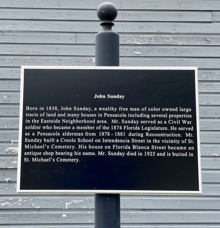
John Sunday
— Eastside Neighborhood Black History Trail —
Topics. This historical marker is listed in these topic lists: African Americans • Industry & Commerce • War, US Civil. A significant historical year for this entry is 1838.
Location. 30° 25.381′ N, 87° 12.805′ W. Marker is in Pensacola, Florida, in Escambia County. Marker is at the intersection of East Strong Street and North Hayne Street, on the left when traveling east on East Strong Street. Touch for map. Marker is at or near this postal address: 900 N Hayne St, Pensacola FL 32501, United States of America. Touch for directions.
Other nearby markers. At least 8 other markers are within walking distance of this marker. H & O Café (about 700 feet away, measured in a direct line); John Lee Pickens’ Medical Office (approx. 0.2 miles away); Original Site of Pensacola Junior College (approx. 0.3 miles away); Fort George (approx. 0.3 miles away); a different marker also named Fort George (approx. 0.4 miles away); Battle of Pensacola (approx. 0.4 miles away); Rough Riders (approx. 0.4 miles away); First Methodist Church (approx. 0.4 miles away). Touch for a list and map of all markers in Pensacola.
Also see . . . Pensapedia, the Pensacola encyclopedia article on John Sunday. (Submitted on July 11, 2021, by Mark Hilton of Montgomery, Alabama.)
Credits. This page was last revised on July 11, 2021. It was originally submitted on July 11, 2021, by Mark Hilton of Montgomery, Alabama. This page has been viewed 229 times since then and 33 times this year. Photos: 1, 2. submitted on July 11, 2021, by Mark Hilton of Montgomery, Alabama.

