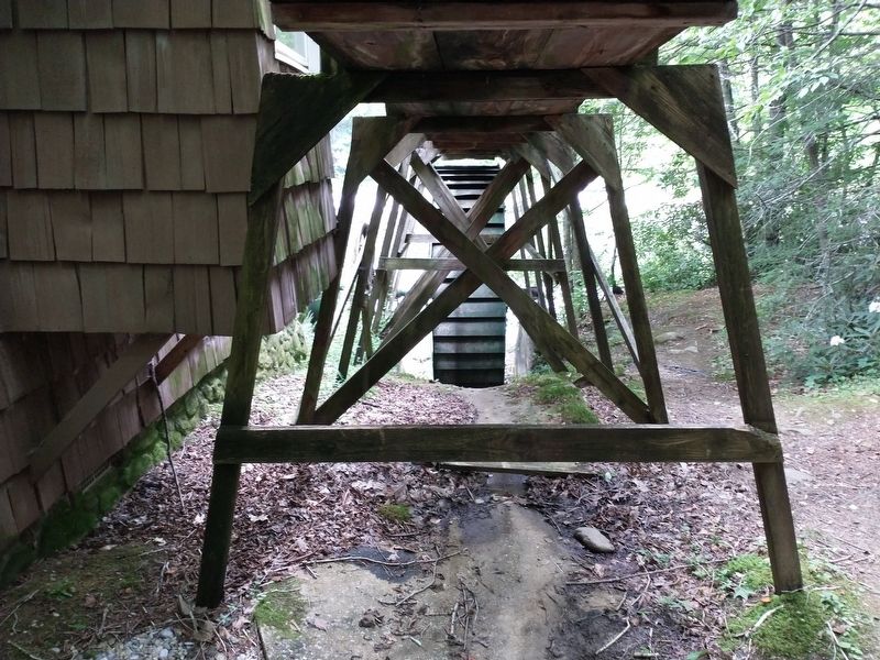
Peg Leg Iron Ore Mine
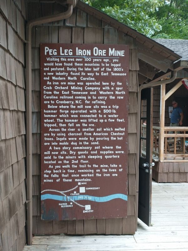
Visiting this area over 100 years ago, you would have found these mountains to be logged and pastured. During the later half of the 1800's a new industry found its way to East Tennessee and Western North Carolina.
An iron ore mine was operated here by the Crab Orchard Mining Company with a spur from the East Tennessee and Western North Carolina railroad coming in to carry the raw ore to Cranberry, N.C. for refining.
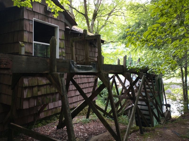
Below where the mill now sits was a trip hammer forge operated with a 500 lb. hammer which was connected to a water wheel. The hammer was lifted up a few feet, tripped, then fell on the ore.
Across the river a smelter sat which melted ore by using charcoal from American Chestnut trees. Ingots were made by pouring the hot ore into molds dug in the sand.
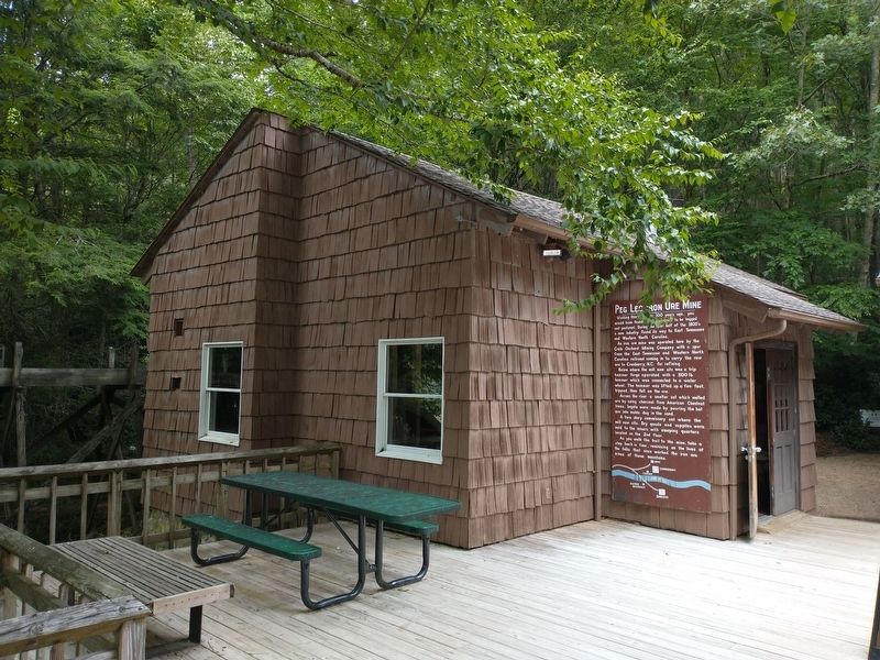
A two story commissary sat where the mill now sits. Dry goods and supplies were sold to the miners with sleeping quarters located on the 2nd floor.
As you walk the trail to the mine, take a step back in time, reminiscing on the lives of the folks that once worked the iron ore mines of these mountains.
Topics. This historical marker is listed in these topic lists: Industry & Commerce • Natural Resources.
Location. 36° 10.58′ N, 82° 4.747′ W. Marker
Other nearby markers. At least 8 other markers are within 11 miles of this marker, measured as the crow flies. First Night's Encampment (approx. 0.6 miles away); Overmountain Men (approx. 3.9 miles away in North Carolina); Cranberry Mines (approx. 6.7 miles away in North Carolina); Cranberry Iron Mine (approx. 6.7 miles away in North Carolina); Yellow Mountain Road (approx. 8.6 miles away in North Carolina); ET&WNC Railroad Covered Bridge (approx. 8.9 miles away); Avery County Salute to Veterans (approx. 10˝ miles away in North Carolina); Avery County Veterans Monument (approx. 10˝ miles away in North Carolina).
Credits. This page was last revised on July 16, 2021. It was originally submitted on July 13, 2021, by Tom Bosse of Jefferson City, Tennessee. This page has been viewed 648 times since then and 57 times this year. Photos: 1, 2, 3, 4, 5. submitted on July 13, 2021, by Tom Bosse of Jefferson City, Tennessee. • Devry Becker Jones was the editor who published this page.
