Hayward in Alameda County, California — The American West (Pacific Coastal)
Got Salt?
Without it, No Civilization and No Ice Cream!
Inscription.
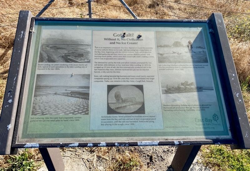
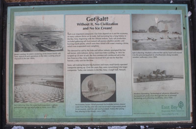
Salt is an important compound. Our lives depend on it and the economy of many cultures thrive on its trade. Salt harvesting has a long history in the Bay Area, beginning with the Ohlone Indians. Early salt production included gathering salt from natural salt pannes (shallow ponds), and burning marsh plants, which were then mixed with water creating a brine, which was evaporated over campfires.
The demand for salt by the hide and tallow industry prompted the first salt farmer, John Johnson, to buy land near Eden Landing. In 1853 he scraped up 25 tons of salt, the first commercially produced salt in the San Francisco Bay Area. Johnson received $35 per ton for that first harvest, a tidy sum for the time.
Soon, salt making became big business and many small family-operated companies sprang up. Over the years they were consolidated into larger companies. Today one remains in the Bay Area-Cargill Salt, Newark.
(photo captions:)
1) Jessen Landing: An artist's rendering of the Jessen family salt farm, typical of such operations in the Eden Landing area of Hayward in the late 1800s.
2) Salt Collecting: Workers collected the salt by hand and moved it to the processing plant in wheelbarrows along movable wooden walkways, circa 1900.
3) Modern Harvesting: Technological advances allowed for increased salt production through the use of powered harvesting and collecting machinery, circa 1920.
4) Salt Gathering: After the water had evaporated, workers gathered the salt into small piles by hand, circa 1900.
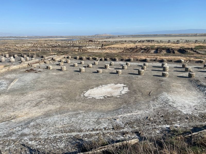
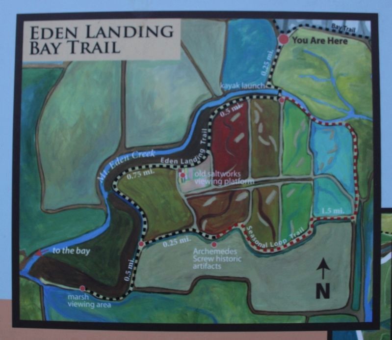
5) Archimedes Screw: Wind powered Archimedes screws moved water from the Bay and into and out of each evaporation pond in succession, until the salt was harvested. Notice the young boy playing in the slough, circa 1900.
Erected by East Bay Regional Park District.
Topics. This historical marker is listed in this topic list: Industry & Commerce. A significant historical year for this entry is 1853.
Location. 37° 37.287′ N, 122° 7.393′ W. Marker is in Hayward, California, in Alameda County. Marker can be reached from Eden Landing Road. Touch for map. Marker is in this post office area: Hayward CA 94545, United States of America. Touch for directions.
Other nearby markers. At least 8 other markers are within 2 miles of this marker, measured as the crow flies. Wetland to Salt Pond and Back Again (a few steps from this marker); A Salty Experiment in Habitat Management (approx. ¼ mile away); Bay-Friendly Rated Landscapes in the City of Hayward (approx. half a mile away); Riches from Seawater and Sun (approx. 0.6 miles away); Working in the Salt Ponds (approx. 0.6 miles away); The Archimedes Screw Pump (approx. 0.8 miles away); Snowy Plovers Find a Home (approx. 0.8 miles away); Who Needs This Habitat The Most? (approx. 1.3 miles away). Touch for a list and map of all markers in Hayward.
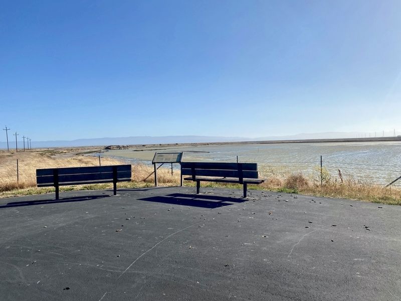
More about this marker. The marker is located on a raised observation area about 30 yards from the Eden Landing Ecological Reserve parking lot.
Also see . . . California Department of Fish & Game: Eden Landing History.
"Throughout the 1800's, the bulk of the tidal marshland throughout the Bay area, including the Eden Landing Ecological Reserve, was diked off from the bay in order to provide pasture land for cattle. In 1850, an association of location farmers organized as the Mt. Eden Company established a landing on the north bank of Mount Eden Creek. The landing itself was one of at least two established in the vicinity, which became known collectively as Eden Landing."(Submitted on September 29, 2022, by Joseph Alvarado of Livermore, California.)
Credits. This page was last revised on October 31, 2022. It was originally submitted on July 13, 2021, by Andrew Ruppenstein of Lamorinda, California. This page has been viewed 199 times since then and 13 times this year. Photos: 1. submitted on July 13, 2021, by Andrew Ruppenstein of Lamorinda, California. 2. submitted on October 31, 2022, by Joseph Alvarado of Livermore, California. 3, 4, 5. submitted on July 13, 2021, by Andrew Ruppenstein of Lamorinda, California. 6, 7, 8. submitted on September 29, 2022, by Joseph Alvarado of Livermore, California.
