Nebraska City
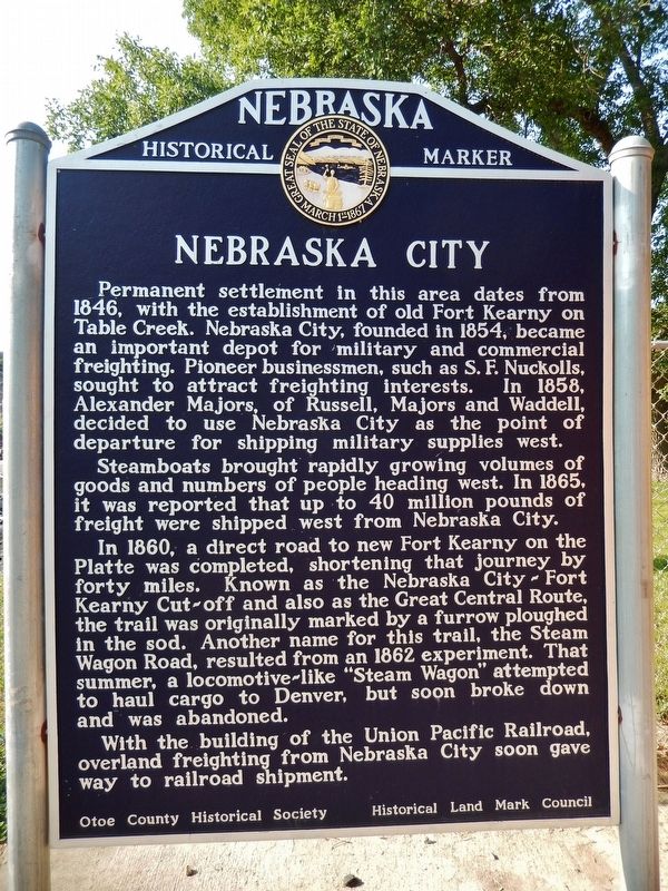
Permanent settlement in this area dates from 1846, with the establishment of old Fort Kearny on Table Creek. Nebraska City, founded in 1854, became an important depot for military and commercial freighting. Pioneer businessmen, such as S. F. Nuckolls, sought to attract freighting interests. In 1858, Alexander Majors, of Russell, Majors and Waddell, decided to use Nebraska City as the point of departure for shipping military supplies west.
Steamboats brought rapidly growing volumes of goods and numbers of people heading west. In 1865, it was reported that up to 40 million pounds of freight were shipped west from Nebraska City.
In 1860, a direct road to new Fort Kearny on the Platte was completed, shortening that journey by forty miles. Known as the Nebraska City-Fort Kearny Cut-off and also as the Great Central Route, the trail was originally marked by a furrow ploughed in the sod. Another name for this trail, the Steam Wagon Road, resulted from an 1862 experiment. That summer, a locomotive-like “Steam Wagon” attempted to haul cargo to Denver, but soon broke down and was abandoned.
With the building of the Union Pacific Railroad, overland freighting from Nebraska City soon gave way to railroad shipment.
Erected by Nebraska State Historical Society; Historical Land Mark Council;
Topics and series. This historical marker is listed in these topic lists: Forts and Castles • Industry & Commerce • Roads & Vehicles • Settlements & Settlers. In addition, it is included in the Nebraska State Historical Society series list. A significant historical year for this entry is 1846.
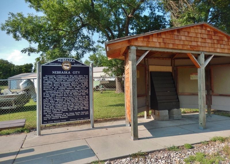
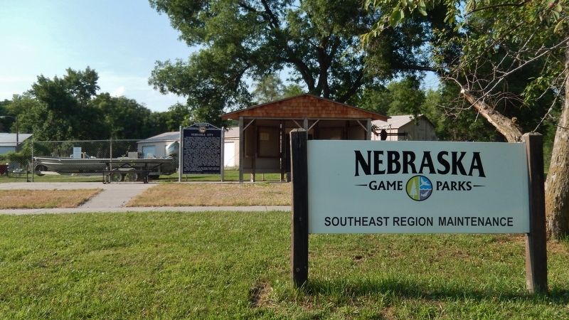
Location. 40° 40.403′ N, 95° 52.318′ W. Marker is in Nebraska City, Nebraska, in Otoe County. Marker is on 4th Corso (Nebraska Route 2) 0.2 miles west of South 19th Street, on the right when traveling west. Marker is located on the west side of an informational kiosk and directly in front of the Nebraska Game & Parks Maintenance yard. Touch for map. Marker is at or near this postal address: 2190 4th Corso, Nebraska City NE 68410, United States of America. Touch for directions.
Other nearby markers. At least 8 other markers are within walking distance of this marker. Mayhew Cabin and the Underground Railroad (about 500 feet away, measured in a direct line); Mayhew Cabin, 1855 (about 600 feet away); This ELI Windmill (approx. half a mile away); Nebraska City Museum of Firefighting (approx. 0.6 miles away); Nebraska City Volunteer Fire Dept. (approx. 0.6 miles away); Pioneer Masons of Nebraska Territory (approx. 0.7 miles away); Mother Church of Methodism in Nebraska
Also see . . .
1. Nebraska City, Nebraska (Wikipedia). By the mid-19th century, steamboats on the Missouri River were the vitalizing force behind Nebraska City's growth, bringing commerce, people and freight to the west. The supplies were brought up the Missouri River by steamboat and then taken out by wagon train. Nebraska City's favorable position and good trail made it an important link to the west. (Submitted on July 13, 2021, by Cosmos Mariner of Cape Canaveral, Florida.)
2. History of Nebraska City. The introduction of Nebraska as a State helped to attract new settlers and the location of Nebraska City as a good crossing of the Missouri River spurred new development in Nebraska City. The first growth boom happened when the railroad came to town and the local economy shifted from transporting goods on the river to one based on the growing railroad network. With easy access to rail as well as barge traffic from the river, businesses were able to thrive. (Submitted on July 13, 2021, by Cosmos Mariner of Cape Canaveral, Florida.)
Credits. This page was last revised on July 13, 2021. It was originally submitted on July 13, 2021, by Cosmos Mariner of Cape Canaveral, Florida. This page has been viewed 225 times since then and 19 times this year. Photos: 1, 2, 3. submitted on July 13, 2021, by Cosmos Mariner of Cape Canaveral, Florida.


