The Turntable
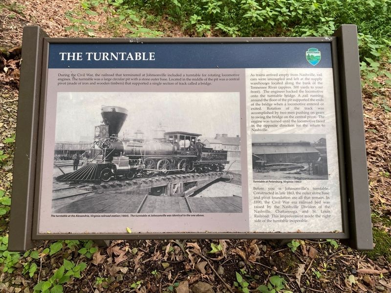
As trains arrived empty from Nashville, rail cars were uncoupled and left at the supply warehouses located along the bank of the Tennessee River (approx. 500 yards to your front). The engineer backed the locomotive onto the turntable bridge. A rail running around the floor of the pit supported the ends of the bridge when a locomotive entered or exited. Rotation the track was accomplished by two men pushing on gears to swing the bridge on the central pivot. The engine was turned until the locomotive faced in the opposite direction for the return to Nashville.
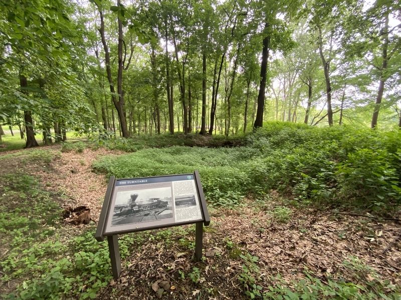
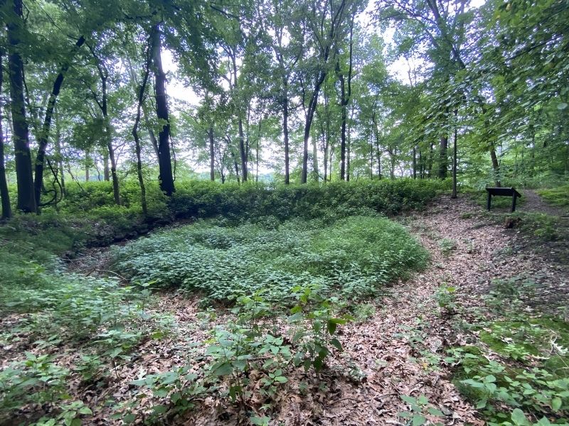
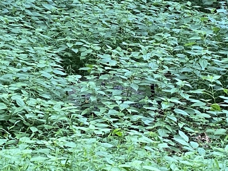
Before you is Johnsonville's turntable. Constructed in late 1863, the outer stone base and pivot foundation are all that remain. In 1890, the Civil War era railroad bed was raised by the Nashville Division of the Nashville, Chattanooga, and St. Louis Railroad. This improvement made the right side of the turntable inoperable.
(captions)
The turntable at the Alexandria, Virginia railroad station (1864). The turntable at Johnsonville
was identical to the one above.
Turntable at Petersburg, Virginia (1863)
Erected by Tennessee State Parks.
Topics. This historical marker is listed in these topic lists: Railroads & Streetcars • War, US Civil.
Location. 36° 3.582′ N, 87° 57.399′ W. Marker is in New Johnsonville, Tennessee, in Humphreys County. Marker is on Old Johnsonville Road, 0.3 miles west of Nell Beard Road, on the right when traveling west. Located in Johnsonville State Historic Park. Touch for map. Marker is at or near this postal address: Old Johnsonville Rd, New Johnsonville TN 37134, United States of America. Touch for directions.
Other nearby markers. At least 8 other markers are within walking distance of this marker. Old Johnsonville (approx. 0.2 miles away); Garrison Troops (approx. 0.2 miles away); Johnsonville (approx. 0.2 miles away); United States Colored Troops at Johnsonville (approx. ¼ mile away); The Town of Johnsonville (approx. 0.4 miles away); Nashville and Northwestern Railroad (approx. 0.4 miles away); Building the Upper Redoubt (approx. 0.4 miles away); Old Johnsonville Cemetery (approx. 0.4 miles away). Touch for a list and map of all markers in New Johnsonville.
Also see . . . Johnsonville State Historic Park. (Submitted on July 14, 2021.)
Credits. This page was last revised on July 14, 2021. It was originally submitted on July 14, 2021, by Darren Jefferson Clay of Duluth, Georgia. This page has been viewed 300 times since then and 24 times this year. Photos: 1, 2, 3, 4. submitted on July 14, 2021, by Darren Jefferson Clay of Duluth, Georgia. • Bernard Fisher was the editor who published this page.


