Near Fairbury in Jefferson County, Nebraska — The American Midwest (Upper Plains)
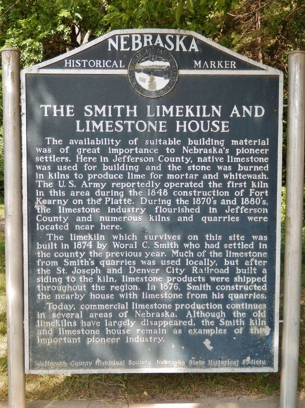
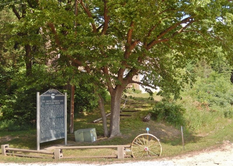
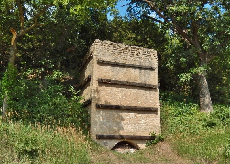
The Smith Limekiln and Limestone House
The availability of suitable building material was of great importance to Nebraska’s pioneer settlers. Here in Jefferson County, native limestone was used for building and the stone was burned in kilns to produce lime for mortar and whitewash. The U.S. Army reportedly operated the first kiln in this area during the 1848 construction of Fort Kearny on the Platte. During the 1870’s and 1880’s, the limestone industry flourished in Jefferson County and numerous kilns and quarries were located near here.
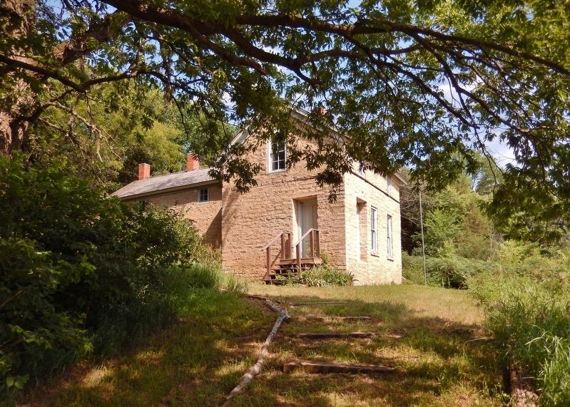
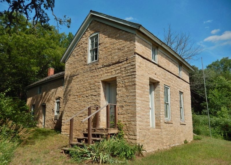
The limekiln which survives on this site was built in 1874 by Woral C. Smith who had settled in the county the previous year. Much of the limestone from Smith’s quarries was used locally, but after the St. Joseph and Denver City Railroad built a siding to the kiln, limestone products were shipped throughout the region. In 1876, Smith constructed the nearby house with limestone from his quarries.
Today, commercial limestone production continues in several areas of Nebraska. Although the old limekilns have largely disappeared, the Smith kiln and limestone house remain as examples of this important pioneer industry.
Erected by Nebraska State Historical Society; and Jefferson County Historical Society. (Marker Number 121.)
Topics and series. This historical marker is listed in these topic lists: Forts and Castles • Industry & Commerce • Railroads & Streetcars • Settlements & Settlers. In addition, it is included in the Nebraska State Historical Society series list. A significant historical year for this entry is 1874.
Location. 40° 11.733′ N, 97° 13.611′ W. Marker is near Fairbury, Nebraska, in Jefferson County. Marker is on River Road, 4 miles north of U.S. 136, on the right when traveling north. Touch for map. Marker is at or near this postal address: 56552 River Road, Fairbury NE 68352, United States of America. Touch for directions.
Other nearby markers. At least 7 other markers are within 16 miles of this marker, measured as the crow flies. Virginia Station — (Whiskey Run) (approx. 2˝ miles away); Representing Rock Creek Station Well (approx. 4.8 miles away); Jefferson County Pony Express Stations (approx. 4.8 miles away); Jefferson County Courthouse (approx. 4.8 miles away); Kit Carson • Col. John Fremont (approx. 10˝ miles away); Bank Building (approx. 10˝ miles away); The Initial Point of the Public Land Surveys of the Sixth Principal Meridian (approx. 15.4 miles away in Kansas).
Regarding The Smith Limekiln and Limestone House.
National Register of Historic Places #74001124.
Also see . . . Woral C. Smith Lime Kiln and Limestone House. Wikipedia entry (Submitted on July 15, 2021, by Cosmos Mariner of Cape Canaveral, Florida.)
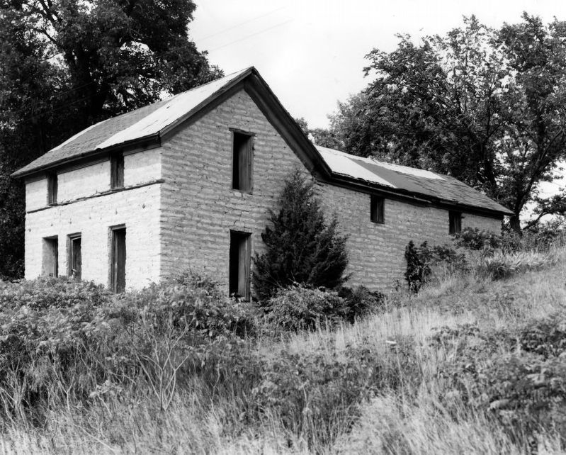
via NPS, 1974
3. Woral C. Smith Lime Kiln and Limestone House
NPGallery Digital Asset Management System
Click for more information.
Click for more information.
Credits. This page was last revised on December 30, 2021. It was originally submitted on July 14, 2021, by Cosmos Mariner of Cape Canaveral, Florida. This page has been viewed 284 times since then and 41 times this year. Photos: 1, 2. submitted on July 15, 2021, by Cosmos Mariner of Cape Canaveral, Florida. 3. submitted on December 30, 2021, by Larry Gertner of New York, New York. 4, 5, 6. submitted on July 15, 2021, by Cosmos Mariner of Cape Canaveral, Florida.
