Vermillion in Clay County, South Dakota — The American Midwest (Upper Plains)
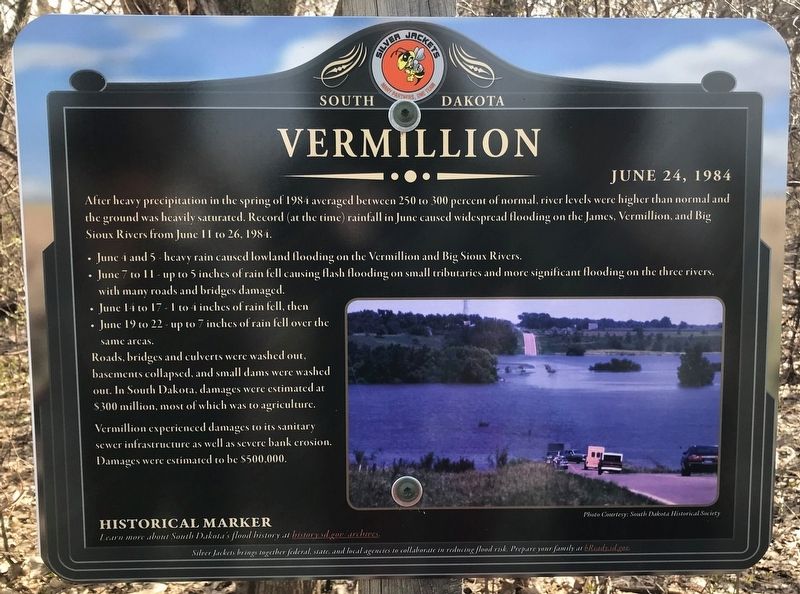
Vermillion
June 24, 1984
• June 4 and 5 - heavy rain caused lowland flooding on the Vermillion and Big Sioux Rivers.
• June 7 to 11 - up to 5 inches of rain fell causing flash flooding on small tributaries and more significant flooding on the three rivers, with many roads and bridges damaged.
• June 14 to 17 - 1 to 4 inches of rain fell, then
• June 19 to 22 - up to 7 inches of rain fell over the same areas.
Roads, bridges and culverts were washed out, basements collapsed, and small dams were washed out. In South Dakota, damages were estimated at $300 million, most of which was to agriculture.
Vermillion experienced damages to its sanitary sewer infrastructure as well as severe bank erosion. Damages were estimated to be $500,000.
Erected by Silver Jackets.
Topics. This historical marker is listed in these topic lists: Disasters • Environment. A significant historical date for this entry is June 24, 1984.
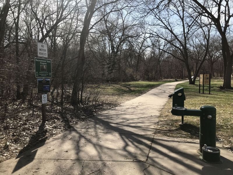
Location. 42° 46.4′ N, 96° 55.897′ W. Marker is in Vermillion, South Dakota, in Clay County. Marker is on South Dakota Street, 1˝ miles south of State Highway 50, on the right when traveling south. Located inside Cotton Park. Touch for map. Marker is in this post office area: Vermillion SD 57069, United States of America. Touch for directions.
Other nearby markers. At least 8 other markers are within walking distance of this marker. Lewis and Clark / Vermillion (a few steps from this marker); Confluence of the Vermillion and Missouri Rivers (within shouting distance of this marker); Welcome to Cotton Park (within shouting distance of this marker); Grand Lodge Constitution Site (approx. 0.2 miles away); Site of the First Permanent School House in Dakota Territory (approx. 0.2 miles away); Old Vermillion (approx. 0.2 miles away); The First Baptist Church, Vermillion, South Dakota (approx. 0.4 miles away); Downtown Vermillion (approx. 0.4 miles away). Touch for a list and map of all markers in Vermillion.
More about this marker. Text at bottom of marker:
Historical Marker
Learn more about South Dakota's flood history at history.sd.gov/archives.
Silver Jackets brings together federal, state, and local agencies to collaborate in reducing flood risk. Prepare your family at bReady.sd.gov.
Additional keywords. Weather, Floods
Credits. This page was last revised on July 15, 2021. It was originally submitted on July 14, 2021. This page has been viewed 154 times since then and 21 times this year. Photos: 1, 2. submitted on July 14, 2021. • Mark Hilton was the editor who published this page.

