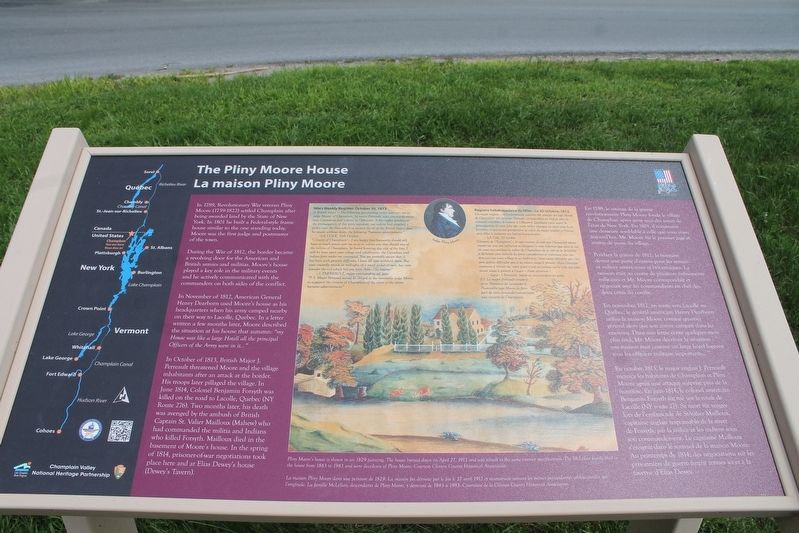
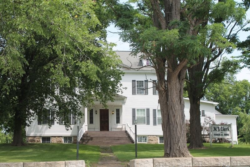
Pliny Moore House
In November of 1812, American general Henry Dearborn used Moore's house as his headquarters when his army camped nearby on their way to Lacolle, Quebec. In a letter written a few months later, Moore described the situation at his house in the autumn: " my house was like a large hotel all the principle Officers of the Army were in it...." In October of 1813, British Major J. Perreault threatened Moore and the village inhabitants after an attack at the border. His troops later pillaged the village. In June 1814, Colonel Benjamin Forsyth was killed on the road to Lacolle, Quebec (NY Route 276). Two months later, his death was avenged by the ambush of British Captain St. Valier Mailloux (Mahew) who had commanded the militia and Indians who killed Forsyth. Mailloux died in the basement of Moore's house. In the spring of 1814, prisoners-of-war
negotiations took place here and at Elias Dewey's house (Dewey's Tavern)Erected by Champlain Valley National Heritage Partnership.
Topics. This historical marker is listed in these topic lists: Patriots & Patriotism • Settlements & Settlers • War of 1812. A significant historical year for this entry is 1789.
Location. 44° 59.208′ N, 73° 26.7′ W. Marker is in Champlain, New York, in Clinton County. Marker is on Elm Street near Oak Street. Touch for map. Marker is at or near this postal address: 196 Elm Street, Champlain NY 12919, United States of America. Touch for directions.
Other nearby markers. At least 8 other markers are within 4 miles of this marker, measured as the crow flies. First School (about 700 feet away, measured in a direct line); St. Mary's Academy (approx. 0.2 miles away); Site of Burying Yard (approx. ¼ mile away); Jehudi Ashmun (approx. half a mile away); Site of Delaware and Hudson Railroad Station (approx. 3.7 miles away); Site of First School House (approx. 3.9 miles away); Ezra Thurber’s Home (approx. 4 miles away); David Mayo's Sail Ferry (approx. 4 miles away). Touch for a list and map of all markers in Champlain.
Credits. This page was last revised on July 17, 2021. It was originally submitted on July 14, 2021, by Robert Rusaw of Massena, New York. This page has been viewed 260 times since then and 29 times this year. Photos: 1, 2. submitted on July 14, 2021, by Robert Rusaw of Massena, New York. • Bill Pfingsten was the editor who published this page.

