Battle Creek in Calhoun County, Michigan — The American Midwest (Great Lakes)
Ward Mill Site / Ward Building Site
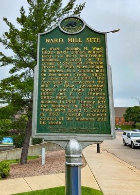
In 1845 Joseph M. Ward (1822-1902) joined William Fargo in a livery and freight business, located on the corner of State and Jefferson Streets. In 1849, Ward bought an interest in a woolen mill on the nearby creek, which he operated until 1860. The next year he converted the mill to flour production. Ward’s son Frank (1860-1936) and E. C. Hinman (1852-1906) took over the business in 1882. Hinman left the business in 1888, and Frank Ward moved to Detroit in 1897. Joseph resumed control of the business until his death.
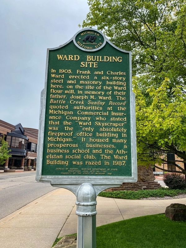
In 1905 Frank and Charles Ward erected a six-story steel and masonry building here, on the site of the Ward flour mill, in memory of their father, Joseph M. Ward. The Battle Creek Sunday Record quoted authorities at the Michigan Commercial Insurance Company who stated that the “Ward Skyscraper” was the “only absolutely fireproof office building in Michigan.” It housed many prosperous businesses, a business school and the Athelstan social club. The Ward Building was razed in 1987.
Erected 1991 by Bureau of History, Michigan Department of State. (Marker Number L1792.)
Topics and series. This historical marker is listed in these topic lists: Fraternal or Sororal Organizations • Industry & Commerce. In addition, it is included in the Michigan Historical Commission series list. A significant historical year for this entry is 1845.
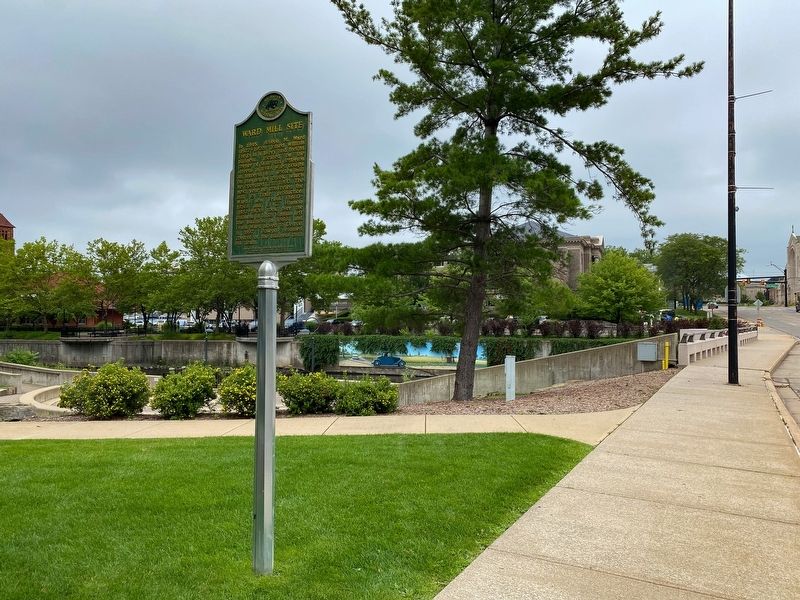
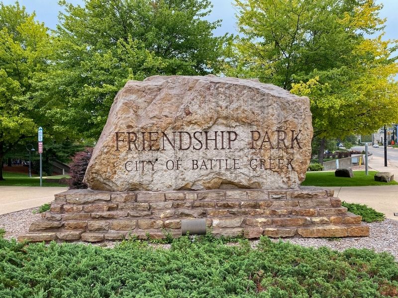
Location. 42° 19.195′ N, 85° 10.874′ W. Marker is in Battle Creek, Michigan, in Calhoun County. Marker is at the intersection of Capital Avenue Northeast and State Street West, on the left when traveling north on Capital Avenue Northeast. Located in Friendship Park. Touch for map. Marker is at or near this postal address: 10 State St W, Battle Creek MI 49017, United States of America. Touch for directions.
Other nearby markers. At least 8 other markers are within walking distance of this marker. Willard Library (about 300 feet away, measured in a direct line); Battle Creek House (about 400 feet away); Michigan Central Depot (about 400 feet away); St. Thomas Episcopal Church (about 500 feet away); Erastus Hussey: Stationmaster / "Working for Humanity" (about 600 feet away); St. Philip Roman Catholic Church (about 700 feet away); Cereal Bowl of America (about 700 feet away); The Log Schoolhouse (approx. 0.2 miles away). Touch for a list and map of all markers in Battle Creek.
Credits. This page was last revised on July 16, 2021. It was originally submitted on July 14, 2021, by J.T. Lambrou of New Boston, Michigan. This page has been viewed 171 times since then and 18 times this year. Photos: 1, 2, 3, 4. submitted on July 14, 2021, by J.T. Lambrou of New Boston, Michigan. • Mark Hilton was the editor who published this page.


