Blennerhassett Island in Wood County, West Virginia — The American South (Appalachia)
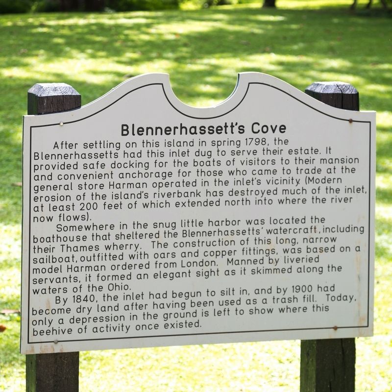
Blennerhassett’s Cove
— Blennerhassett Island Historical State Park —
Somewhere in the snug little harbor was located the boathouse that sheltered the Blennerhassetts’ watercraft, including their Thames wherry. The construction of this long, narrow sailboat, outfitted with oars and copper fittings, was based on a model Harman ordered from London. Manned by liveried servants, it formed an elegant sight as it skimmed along the waters of the Ohio.
By 1840, the inlet had begun to silt in, and by 1900 had become dry land after having been used as a trash fill. Today, only a depression in the ground is left to show where this beehive of activity once existed.
Erected by Blennerhassett Island Historical State Park.
Topics. This historical marker is listed in these topic lists: Parks & Recreational Areas • Settlements & Settlers. A significant historical year for this entry is 1798.
Location. 39° 16.306′ N, 81° 35.911′ W. Marker is on Blennerhassett Island, West Virginia, in Wood County. Marker can be reached by sternwheeler riverboat passenger ferry ($12 round trip) from Point Park on 2nd Street in Parkersburg between May 1st and early October. Ferry departs on the hour from 10 AM to 5 PM. Last ferry departs the island at 5:30 PM. Blennerhassett Island Historical State Park is closed Mondays (except Memorial Day and Labor Day), Tuesdays in September and October, and for the winter after the last weekend in October until the first weekend in May. You should call ahead to verify this information at +1-304-420-4800 or 1-800-CALL-WVA. Touch for map. Marker is in this post office area: Parkersburg WV 26101, United States of America. Touch for directions.
Other nearby markers. At least 8 other markers are within walking distance of this marker. Site of First Blennerhassett Island Park (about 300 feet away, measured in a direct line); Black Walnut Tree Plantation (about 500 feet away); Pleasure Garden (about 600 feet away); Blennerhassett’s Well (about 600 feet away); Blennerhassett Island (about 600 feet away); Paling Fence (about 600 feet away); Blennerhassett Wash House (about 600 feet away); Blennerhassett Kitchen Garden (about 700 feet away). Touch for a list and map of all markers in Blennerhassett Island.
More about this marker. The nearby markers in Ohio listed in the previous paragraph are certainly not within walking distance, unless

Photographed By J. J. Prats, July 11, 2021
2. Blennerhassett’s Cove Marker
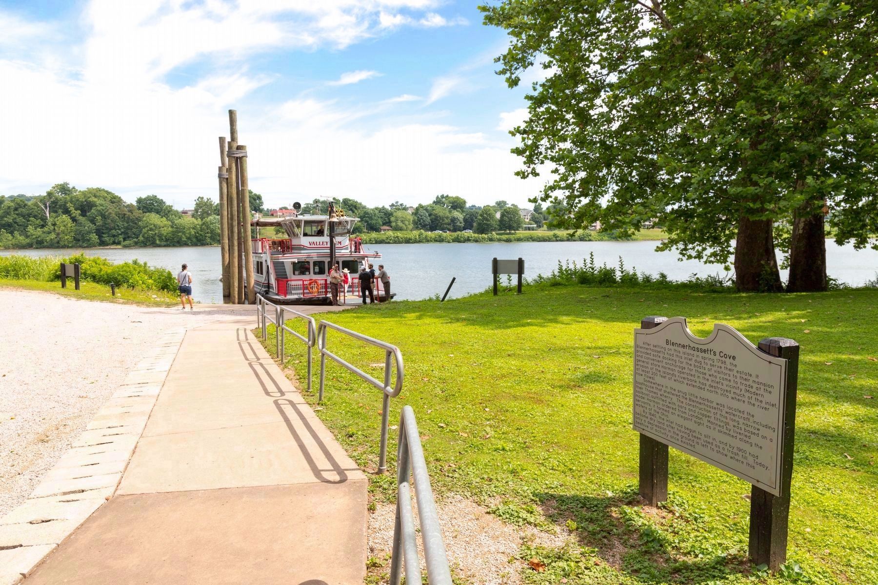
Docked awaiting passengers returning to Marietta, Ohio, is the 90 passenger sternwheeler riverboat Valley Gem. Marietta is 15 miles upriver from Blennerhassett Island, 2˝ hours by riverboat. Monthly river tours from Marietta to Blennerhassett Island, which include breakfast inbound and lunch outbound, can be booked on the Valley Gem. In the distance is Bellpre, Ohio.
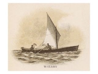
Regarding Blennerhassett’s Cove. Thames Wherries, referenced on the marker's text, were water taxis used in London, England, on the River Thames. Wikipedia reports that “...they are long and narrow, with a straight stem, a wineglass stern, and with smooth sides...its flat bottom allows the boat to beach in an upright position...” See image No. 3.
Credits. This page was last revised on July 15, 2021. It was originally submitted on July 15, 2021, by J. J. Prats of Powell, Ohio. This page has been viewed 120 times since then and 11 times this year. Photos: 1, 2, 3. submitted on July 15, 2021, by J. J. Prats of Powell, Ohio.

