Champlain in Clinton County, New York — The American Northeast (Mid-Atlantic)
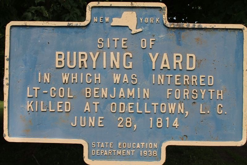
Site of Burying Yard
Erected 1938 by State Education Department.
Topics. This historical marker is listed in these topic lists: Cemeteries & Burial Sites • War of 1812. A significant historical date for this entry is June 28, 1814.
Location. 44° 59.425′ N, 73° 26.681′ W. Marker is in Champlain, New York, in Clinton County. Marker is on Oak Street, on the left when traveling north. Touch for map. Marker is at or near this postal address: 52 Oak Street, Champlain NY 12919, United States of America. Touch for directions.
Other nearby markers. At least 8 other markers are within 4 miles of this marker, measured as the crow flies. First School (about 600 feet away, measured in a direct line); Pliny Moore House (approx. ¼ mile away); Jehudi Ashmun (approx. 0.3 miles away); St. Mary's Academy (approx. 0.4 miles away); Site of Delaware and Hudson Railroad Station (approx. 3.6 miles away); Site of First School House (approx. 3.9 miles away); Working The Lake (approx. 4 miles away); David Mayo's Sail Ferry (approx. 4 miles away). Touch for a list and map of all markers in Champlain.
Credits. This page was last revised on November 4, 2023. It was originally submitted on July 15, 2021, by Robert Rusaw of Massena, New York. This page has been viewed 200 times since then and 29 times this year. Photo 1. submitted on July 15, 2021, by Robert Rusaw of Massena, New York. • Bill Pfingsten was the editor who published this page.
Editor’s want-list for this marker. Distance photo of marker and surroundings • Can you help?
