Near Pierre in Hughes County, South Dakota — The American Midwest (Upper Plains)
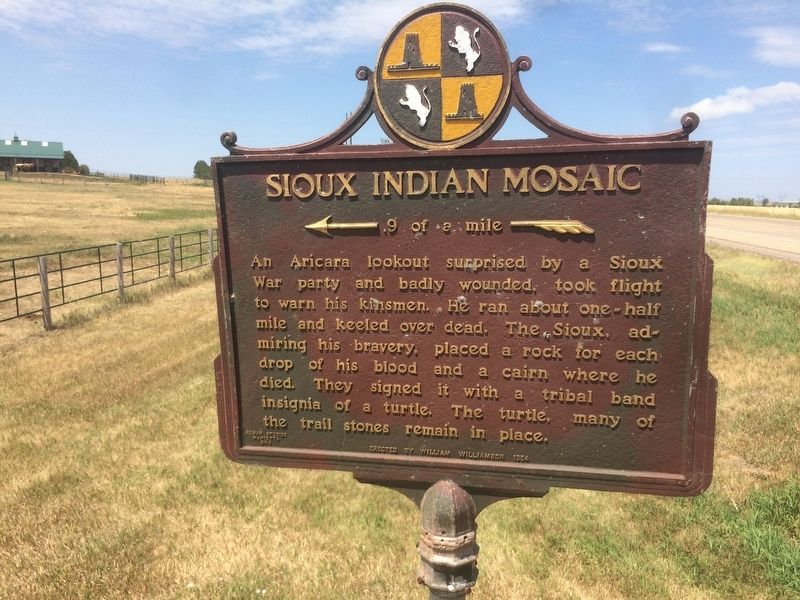
Sioux Indian Mosaic
.9 of a mile
Erected 1954 by William Williamson. (Marker Number 27.)
Topics and series. This historical marker is listed in this topic list: Native Americans. In addition, it is included in the South Dakota State Historical Society Markers series list.
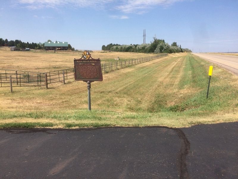
Location. 44° 26.037′ N, 100° 21.843′ W. Marker is near Pierre, South Dakota, in Hughes County. Marker is on South Dakota Route 1804, 0.8 miles west of Grey Goose Road. Touch for map. Marker is in this post office area: Pierre SD 57501, United States of America. Touch for directions.
Other nearby markers. At least 8 other markers are within 2 miles of this marker, measured as the crow flies. Turtle Effigy (a few steps from this marker); The Oahe Dam & Lake (approx. 0.9 miles away); A Tense Three Days (approx. 0.9 miles away); A Changing Landscape (approx. 0.9 miles away); The Lewis and Clark Expedition (approx. 0.9 miles away); Steamboats (approx. 1˝ miles away); The Arikara / The Sioux (approx. 1˝ miles away); Archeology in Oahe Downstream (approx. 1˝ miles away). Touch for a list and map of all markers in Pierre.
Credits. This page was last revised on July 16, 2021. It was originally submitted on January 17, 2018, by Ruth VanSteenwyk of Aberdeen, South Dakota. This page has been viewed 354 times since then and 19 times this year. Last updated on July 16, 2021. Photos: 1, 2. submitted on January 17, 2018, by Ruth VanSteenwyk of Aberdeen, South Dakota. • Mark Hilton was the editor who published this page.

