Near Frederick in Brown County, South Dakota — The American Midwest (Upper Plains)
You Are Entering South Dakota
⎯⎯⎯
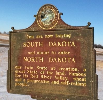
You Are Now Leaving South Dakota and About to Enter North Dakota
September 17, 2022
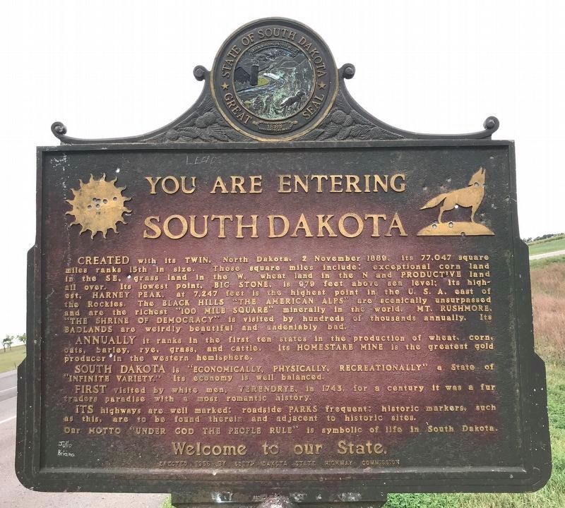
1. South Dakota Marker
You Are Entering South Dakota
Created with its twin, North Dakota, 2 November 1889, its 77,047 square miles ranks 15th in size. Those square miles include; exceptional corn land in the SE, grass land in the W, wheat land in the N and Productive land all over. Its lowest point, Big Stone, is 979 feet above sea level. Its highest, Harney Peak, at 7,247 feet is the highest point in the U.S.A. east of the Rockies. The Black Hills "The American Alps" are scenically unsurpassed and are the richest "100 Mile Square" minerally in the world. Mt. Rushmore, "The Shrine of Democracy" is visited by hundreds of thousand annually. Its Badlands are weirdly beautiful and undeniably bad.
Annually it ranks in the first ten states in the production of wheat,, corn, oats, barley, rye, grass, and cattle. Its Homestake Mine is the greatest gold producer in the western hemisphere.
South Dakota is "Economically, Physically, Recreationally" a state of "Infinite Variety." Its economy is well balanced.
First visited by white men, Verendrye, in 1743, for a century it was a fur traders paradise with a most romantic history.
It's highways
this page online
You Are Now Leaving South Dakota and About to Enter North Dakota
Our twin State at creation, a great State of the land. Famous for its Red River Valley, wheat and progressive and self-reliant people.
Erected 1955 by South Dakota state Highway Commission. (Marker Number 92-B.)
Topics and series. This historical marker is listed in this topic list: Political Subdivisions. In addition, it is included in the South Dakota State Historical Society Markers series list. A significant historical date for this entry is November 2, 1889.
Location. 45° 56.031′ N, 98° 31.68′ W. Marker is near Frederick, South Dakota, in Brown County. It is on U.S. 281 ¼ mile south of 102nd St Southeast, on the right when traveling south. Touch for map. Marker is in this post office area: Frederick SD 57441, United States of America. Touch for directions.

Regionally, this marker is in East River and specifically in the James River Valley.
Photographed by Ruth VanSteenwyk, January 1, 2016
2. South Dakota Marker Reverse
Other nearby markers. At least 8 other markers are within 7 miles of this marker, measured as the crow flies: Dickey County Veterans (approx. 4.8 miles away in North Dakota); In Memoriam (approx. 6.3 miles away); Old Finnish Apostolic Lutheran Church (approx. 6½ miles away); Savo Hall (approx. 6.6 miles away); Savo Monument (approx. 6.6 miles away); In Memory of the Finnish Pioneers (approx. 6.7 miles away); The First Frederick School (approx. 7 miles away); Frederick, South Dakota Veterans Memorial (approx. 7.1 miles away). Touch for a list and map of all markers in Frederick.
Photographed by Ruth VanSteenwyk, January 1, 2016
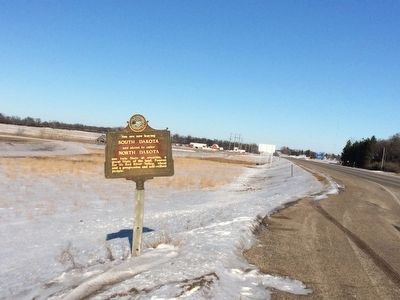
3. South Dakota Marker (long view)
September 17, 2022
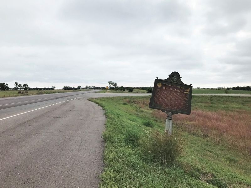
4. South Dakota Marker, from the north
Credits. This page was last revised on February 15, 2026. It was originally submitted on January 1, 2016, by Ruth VanSteenwyk of Aberdeen, South Dakota. This page has been viewed 2,002 times since then and 96 times this year. Last updated on July 16, 2021. Photos: 1. submitted on September 24, 2022. 2, 3. submitted on January 1, 2016, by Ruth VanSteenwyk of Aberdeen, South Dakota. 4. submitted on September 24, 2022. • Mark Hilton was the editor who published this page.
