Presho in Lyman County, South Dakota — The American Midwest (Upper Plains)
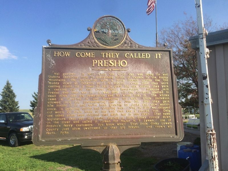
How Come They Called it Presho
Wal partner, in 1862 when the Civil War was being fit and Dakota Territory took in everything South of Canada to the Rocky Mountains, the legislature gave a ferry license across the Old Muddy down at Yankton to J.S. Presho. Come 1872 they were casting round for a name to call a great big new country they were carving out of the Great Sioux Reservation. Someone said Presho and that was it. It was 1889 til the Guvment started to small down that big reservation and let white folks in. The whites came on filtering in and hankering for mail. Chris Hellekson allowed he’d try postmastering and on June 30, 1891 they gave him Presho P.O. and we’ve been growing by jerks and slow motion since, a peddling cattle and shipping hay. Why in 1915 we shipped out mor’n 20 train loads of hay and that was a record, son. Only one other point ever shipped that much hay in one year. That same legislature that set up Presho started a little dinky county down on the river and called it Lyman for Major W.P. Lyman, one of Presho’s ferry customers. You know what! That little dinky Lyman County just plum swallowed up that big Presho. And them’s all facts, folks.
Erected 1955 by Breshokiva Club and State Highway Commission. (Marker Number 110.)
Topics and series. This historical marker is listed in these topic lists: Government & Politics • Settlements & Settlers. In addition, it is included in the South Dakota State Historical Society Markers series list. A significant historical date for this entry is June 30, 1862.
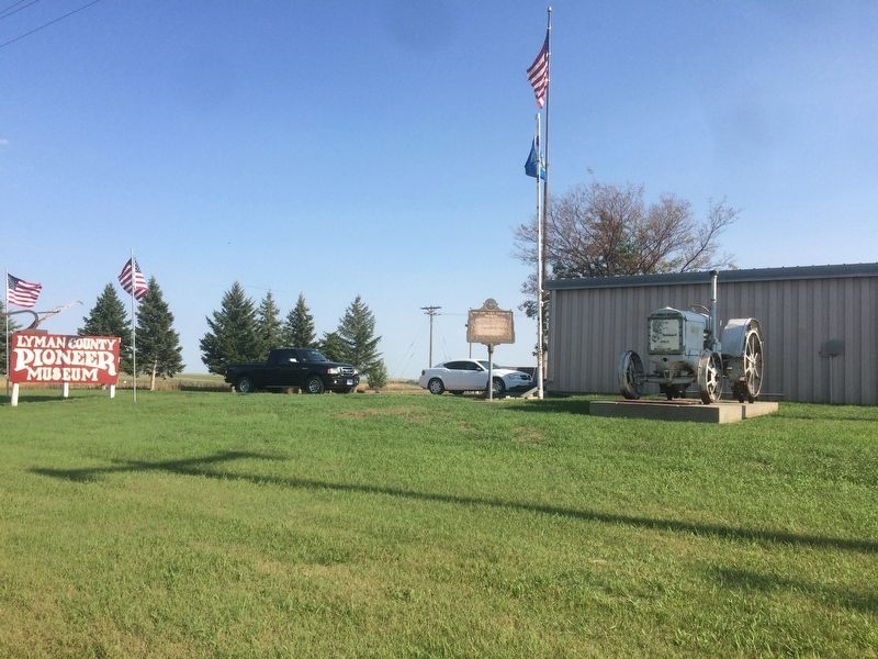
Location. 43° 54.1′ N, 100° 3.382′ W. Marker is in Presho, South Dakota, in Lyman County. Marker can be reached from the intersection of State Highway 248 and Oak Ave. Marker is located in the Lyman County Museum Grounds. Touch for map. Marker is in this post office area: Presho SD 57568, United States of America. Touch for directions.
Other nearby markers. At least 6 other markers are within 8 miles of this marker, measured as the crow flies. Lyman County, South Dakota Veterans Memorial (within shouting distance of this marker); Medicine Creek Rest Area (approx. 4˝ miles away); World's Only Corn Palace - Mitchell (approx. 7.2 miles away); Purple Heart Memorial Highway (approx. 7.2 miles away); Civilian Conservation Corps Camp (approx. 7.2 miles away); a different marker also named Medicine Creek Rest Area (approx. 7.2 miles away).
Credits. This page was last revised on July 17, 2021. It was originally submitted on January 20, 2018, by Ruth VanSteenwyk of Aberdeen, South Dakota. This page has been viewed 348 times since then and 42 times this year. Last updated on July 17, 2021. Photos: 1, 2. submitted on January 20, 2018, by Ruth VanSteenwyk of Aberdeen, South Dakota. • Bill Pfingsten was the editor who published this page.

