
West Oakland and Prescott
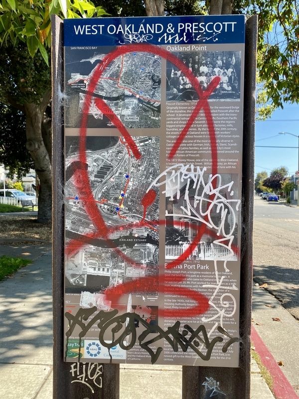
Originally known as Oakland Point, for the westward bulge of the shoreline, this area was later called Prescott after the school. It developed from 1869 in tandem with the trans-continental railroad. The Central Pacific/Southern Pacific yards and shops below Seventh Street were the regions biggest employer and in turn attracted factories, mills, foundries, and canneries. By the turn of the 20th century, the streets of West Oakland were lined with workers' cottages and gracious houses in a variety of Victorian styles.
The area was also one of the most ethnically diverse in Oakland, replete with German, Irish, Italian, Slavic, Scandinavian, and Latino families, as well as the City's most historic African-American community centered around the Pullman Porters of Prescott.
The 1872 Shorey House, one of the oldest in West Oakland, is located across Eighth Street. William Shorey, an African American sea captain and civic leader, lived here with his family.
Bertha Port Park
Philip Joseph Port, a longtime resident of West Oakland, gave the land for this park as a memorial to his wife. A native of Vermont who came to Oakland in the 1890s when he was not yet 20, Mr. Port worked for many years as a milkman, making deliveries with horsedrawn wagon, and later by truck. He married Bertha Bastian, the daughter of a German-born blacksmith and neighbor, and the couple continued to make their home on Eighth Street.
In the late 1930s, not long after Bertha died, the Oakland Housing Authority began buying property in the neighborhood. Philip loved West Oakland, and protested the bull-dozing of its old homes for housing projects like Campbell Village. Yet he also cared for the people who lived there, especially the children. So, he added a provision to his will, donating a quarter acre lot at Eighth and Wood Streets for a public playground.
On the eve of Thanksgiving in 1947, three years after Philip's death, the City's Mayor formally dedicated Bertha Bastian Port Playground. Intended for mothers with pre-school children, the gournds had swings, slides, and picnic tables. Decades later, the Trust for Public Land secured funding, surveyed residents, and sought the services of a local landscape designer. A community block party in July 2006 celebrated the reopening of Bertha Port Park, a renewed gift to the West Oakland community for the 21st Century.
Topics.
this page online
Location. 37° 48.471′ N, 122° 18.131′ W. Marker is in Oakland, California, in Alameda County. It is in Prescott. It is at the intersection of Wood Street and Goss Street, on the right when traveling south on Wood Street. Touch for map. Marker is in this post office area: Oakland CA 94607, United States of America. Touch for directions.

Regionally, this marker is in California’s San Francisco Bay Area and on the Coast Ranges. It is also on the American Pacific Coast. Globally, it is in North America, on the Ring of Fire, in the Pacific Rim, in the Western Hemisphere, in the Western World, and in the Anglosphere. Historically, it finds itself in what was once New Spain and also Mexico’s Alta California.
Other nearby markers. At least 8 other markers are within walking distance of this marker: Ron Dellums (here, next to this marker); The Shorey House (about 300 feet away, measured in a direct line); Wild Oats Underdone Asparagas Boil (approx. ¼ mile away); Liberty Hall (approx. 0.4 miles away); The Music They Played on 7th Street
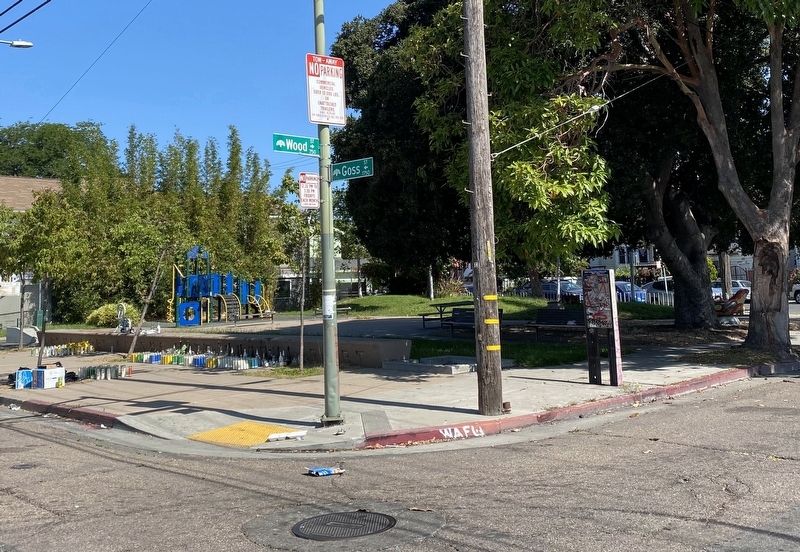
More about this marker. The marker is located in the southeast corner of Bertha Port Park, on the reverse side of the Ron Dellums marker.
Also see . . . Bertha Port Park (Oakland Wiki). (Submitted on July 18, 2021.)
Credits. This page was last revised on October 12, 2025. It was originally submitted on July 18, 2021, by Andrew Ruppenstein of Lamorinda, California. This page has been viewed 942 times since then and 60 times this year. Photos: 1, 2. submitted on July 18, 2021, by Andrew Ruppenstein of Lamorinda, California.
