Mansfield in De Soto Parish, Louisiana — The American South (West South Central)
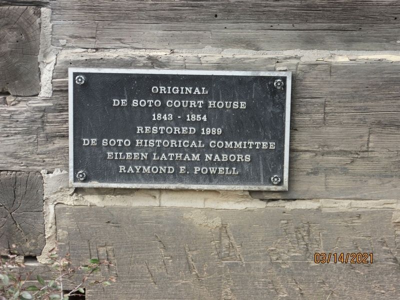
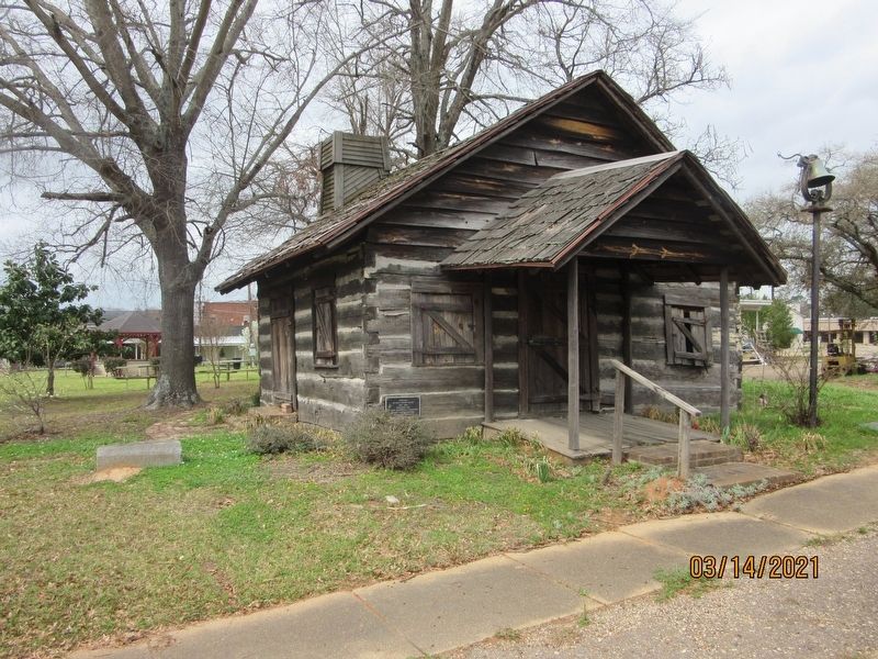
Original De Soto Court House
— 1843 - 1854 —
Restored 1989
De Soto Historical Committee
Eileen Latham Nabors
Raymond E. Powell
Erected by De Soto Historical Committee.
Topics. This historical marker is listed in this topic list: Notable Buildings. A significant historical year for this entry is 1843.
Location. 32° 2.265′ N, 93° 42.506′ W. Marker is in Mansfield, Louisiana, in De Soto Parish. Marker is at the intersection of Madison Street and Polk Street, on the left when traveling north on Madison Street. Located on bottom left corner of Log Courthouse. Touch for map. Marker is in this post office area: Mansfield LA 71052, United States of America. Touch for directions.
Other nearby markers. At least 8 other markers are within 3 miles of this marker, measured as the crow flies. Battle of Mansfield or Sabine Cross Roads (approx. 2.8 miles away); Battle of Mansfield or Sabine Cross Roads (approx. 3 miles away); a different marker also named Battle of Mansfield or Sabine Cross Roads (approx. 3 miles away); a different marker also named Battle of Mansfield or Sabine Cross Roads (approx. 3 miles away); Mansfield Battle Park (approx. 3.1 miles away); General Alfred Mouton Monument (approx. 3.1 miles away); General Dick Taylor Monument (approx. 3.1 miles away); James H. Beard Monument (approx. 3.1 miles away). Touch for a list and map of all markers in Mansfield.
Also see . . . The Old Log Courthouse in Mansfield. (Submitted on July 18, 2021, by Jason Armstrong of Talihina, Oklahoma.)
Credits. This page was last revised on July 18, 2021. It was originally submitted on July 18, 2021, by Jason Armstrong of Talihina, Oklahoma. This page has been viewed 156 times since then and 10 times this year. Photos: 1, 2. submitted on July 18, 2021, by Jason Armstrong of Talihina, Oklahoma. • Mark Hilton was the editor who published this page.

