Springhouse
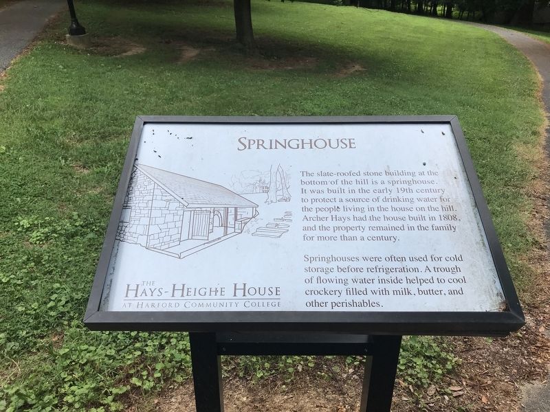
Springhouses were often used for cold storage before refrigeration. A trough of flowing water inside helped to cool crockery filled with milk, butter, and other perishables.
Erected by The Hays-Heighe House at Harford Community College.
Topics. This historical marker is listed in this topic list: Notable Buildings. A significant historical year for this entry is 1808.
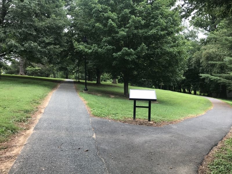
Location. 39° 33.596′ N, 76° 17′ W. Marker is near Bel Air, Maryland, in Harford County. It can be reached from Thomas Run Road. Touch for map. Marker is in this post office area: Bel Air MD 21015, United States of America. Touch for directions.
Regionally, this marker is in the Baltimore Metro Region and in Central Maryland. It is also in the American Mid-Atlantic, in the Chesapeake Bay Region, and on the Eastern Seaboard. Globally, it is
this page online
Other nearby markers. At least 8 other markers are within 4 miles of this marker, measured as the crow flies: A different marker also named Springhouse (within shouting distance of this marker); Medical Hall (approx. 0.4 miles away); Tudor Hall (approx. 1.2 miles away); Churchville Presbyterian Church (approx. 1.7 miles away); Churchville (approx. 1.7 miles away); Church of the Holy Trinity (approx. 2 miles away); Calvary United Methodist Church (approx. 2½ miles away); “Indian Spring” (approx. 3.7 miles away). Touch for a list and map of all markers in Bel Air.
Credits. This page was last revised on July 21, 2021. It was originally submitted on July 18, 2021, by Adam Margolis of Mission Viejo, California. This page has been viewed 475 times since then and 46 times this year. Photos: 1, 2. submitted on July 18, 2021, by Adam Margolis of Mission Viejo, California. • Bill Pfingsten was the editor who published this page.
