Christiana in Lancaster County, Pennsylvania — The American Northeast (Mid-Atlantic)
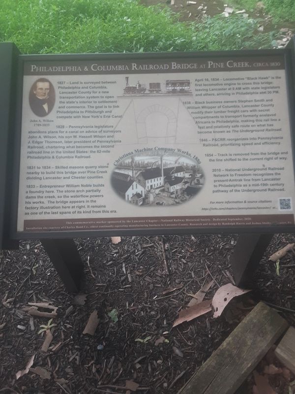
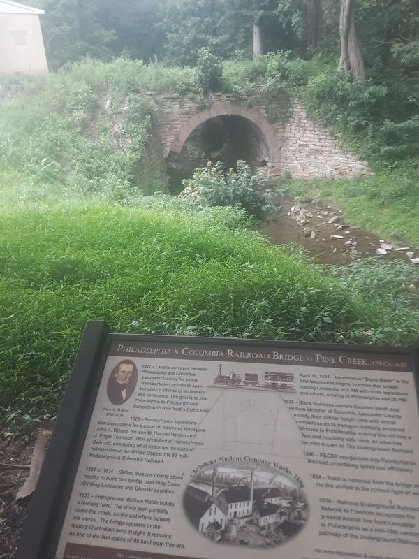
Philadelphia & Columbia Railroad Bridge at Pine Creek, Circa 1830
Inscription.
1827 -- Land is surveyed between
Philadelphia and Columbia,
Lancaster County for a new
transportation system to open
the state's interior to settlement
and commerce. The goal is to link
Philadelphia to Pittsburgh and
compete with New York's Erie Canal.
1828 -- Pennsylvania legislature abandons plans for a canal on advice of surveyors John A. Wilson, his son W. Hassell Wilson and J. Edgar Thomson, later president of Pennsylvania Railroad, chartering what becomes the second railroad line in the United States: the 82-mile Philadelphia & Columbia Railroad.
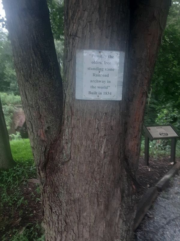
1831 to 1834 -- Skilled masons quarry stone nearby to build this bridge over Pine Creek dividing Lancaster and Chester counties.
1833 -- Entrepreneur William Noble builds a foundry here. The stone arch partially dams the creek, so the waterflow powers his works. The bridge appears in the factory illustration here at right. It remains as one of the last spans of its kind from this era.
April 16, 1834 -- Locomotive "Black Hawk" is the first locomotive engine to cross this bridge: leaving Lancaster at 8 AM with state legislators and others, arriving in Philadelphia at 4:30 PM.
1838 -- Black business owners Stephen Smith and William Whipper of Columbia, Lancaster County modify their lumber freight cars with secret compartments to transport formerly enslaved Africans to Philadelphia, making this rail line a fast and relatively safe route on what has become known as The Underground Railroad.
1846 -- P&CRR reorganizes into Pennsylvania Railroad, prioritizing speed and efficiency.
1854 -- Track is removed from the bridge and the line shifted to the current right of way.
2010 -- National Underground Railroad Network to Freedom recognizes the present Amtrak line from Lancaster to Philadelphia as a mid-19th century pathway of the Underground Railroad.
For more information & source citations https://nrhs.com/chapters/pennsylvania/lancaster/ or....[pattern]
[Upper left]
John A. Wilson
1789-1833
[Center bottom]
Christiana Machine Company Works, 1880
Installation site courtesy of Charles Bond Co., oldest continually-operating manufacturing business in Lancaster County. Research and design by Randolph Harris and Joshua Sholt/ Lancaster, PA
Topics. This historical marker is listed in these topic lists: Abolition & Underground RR • African Americans • Bridges & Viaducts • Railroads & Streetcars. A significant historical year for this entry is 1827.
Location.
39° 57.248′ N, 75° 59.659′ W. Marker is in Christiana, Pennsylvania, in Lancaster County. Marker is on Ann Street, on the left when traveling south. Touch for map. Marker is in this post office area: Christiana PA 17509, United States of America. Touch for directions.
Other nearby markers. At least 8 other markers are within 3 miles of this marker, measured as the crow flies. Christiana Riot Monument (about 400 feet away, measured in a direct line); Atglen (approx. 1.1 miles away); Atglen Borough Hall (approx. 1.1 miles away); World War II (approx. 1.2 miles away); East Octoraro #1 Bridge (1910-2020) (approx. 1.3 miles away); The Christiana Riot (approx. 1.6 miles away); Mercer’s Mill Covered Bridge (1880) (approx. 1.7 miles away); Walker House (approx. 2˝ miles away). Touch for a list and map of all markers in Christiana.

Photographed By Carl Gordon Moore Jr., July 18, 2021
4. Philadelphia & Columbia Railroad Bridge at Pine Creek, Circa 1830 Marker
The marker is behind the camera. Ann Street comes in from the right just after name change from Green Street, and is seen bending from south to west just before it goes under the Amtrak rail line in background.
Credits. This page was last revised on July 21, 2021. It was originally submitted on July 19, 2021, by Carl Gordon Moore Jr. of North East, Maryland. This page has been viewed 331 times since then and 35 times this year. Photos: 1. submitted on July 19, 2021, by Carl Gordon Moore Jr. of North East, Maryland. 2, 3, 4. submitted on July 20, 2021, by Carl Gordon Moore Jr. of North East, Maryland. • Bill Pfingsten was the editor who published this page.


