Silverton in San Juan County, Colorado — The American Mountains (Southwest)
Tailings Ponds Reclamation
Reclamation in Action
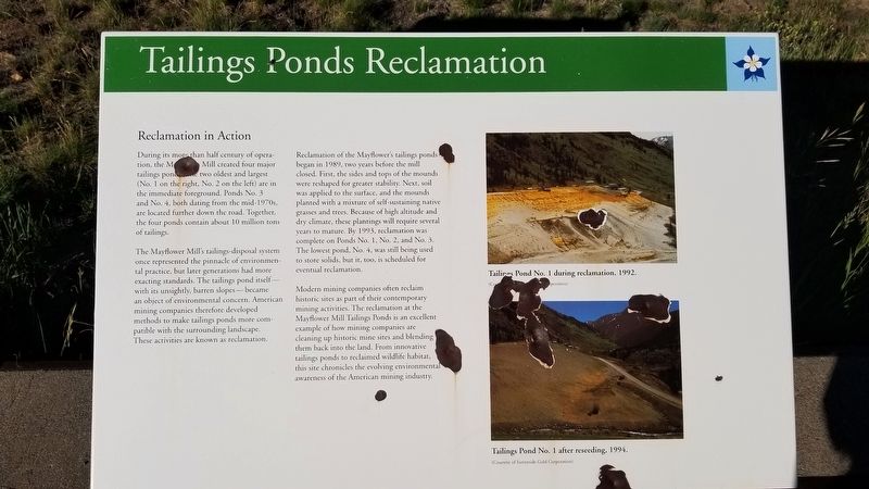
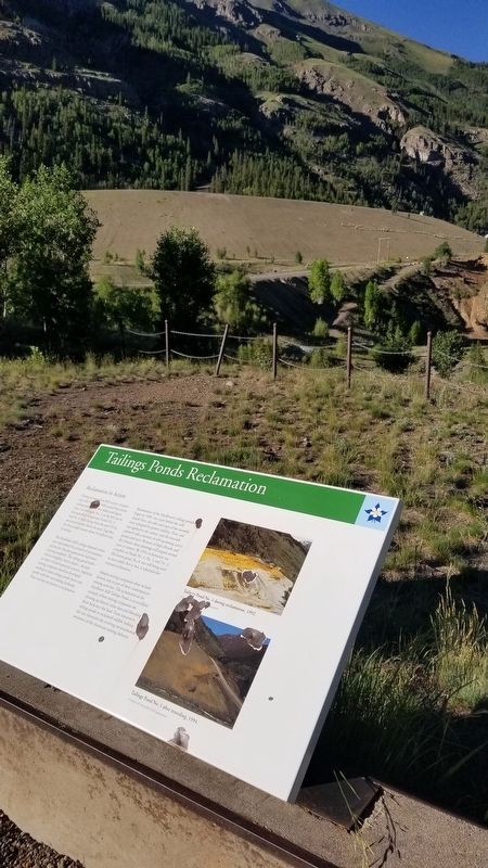
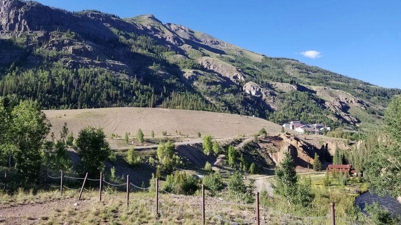
During its more than half century of operation, the Mayflower Mill created four major tailings ponds, two oldest and largest (No. 1 on the right, No. 2 on the left) are in the immediate foreground. Ponds No. 3 and No. 4, both dating from the mid-1970s, are located further down the road. Together, the four ponds contain about 10 million tons of tailings.
The Mayflower Mill's tailings-disposal system once represented the pinnacle of environmental practice, but later generations had more exacting standards. The tailings pond itself with its unsightly, barren slopes - became an object of environmental concern. American mining companies therefore developed methods to make tailings ponds more compatible with the surrounding landscape. These activities are known as reclamation.
Reclamation of the Mayflower's tailings ponds began in 1989, two years before the mill closed. First, the sides and tops of the mounds were reshaped for greater stability. Next, soil was applied to the surface, and the mounds planted with a mixture of self-sustaining native grasses and trees. Because of high altitude and dry climate, these plantings will require several years to mature. By 1993, reclamation was complete on Ponds No. 1, No. 2, and No. 3. The lowest pond, No. 4, was still being used to store solids, but it, too, is scheduled for eventual reclamation.
Modern mining companies often reclaim historic sites as part of their contemporary mining activities. The reclamation at the Mayflower Mill Tailings Ponds is an excellent example of how mining companies are cleaning up historic mine sites and blending them back into the land. From innovative tailings ponds to reclaimed wildlife habitat, this site chronicles the evolving environmental awareness of the American mining industry.
Captions
1. Tailings Pond No. 1 during reclamation, 1992.
(Courtesy of Sunnyside Gold Corporation)
2. Tailings Pond No. 1 after reseeding, 1994.
(Courtesy of Sunnyside Gold Corporation)
Erected by San Juan County Historical Society.
Topics. This historical marker is listed in these topic lists: Environment • Industry & Commerce. A significant historical year for this entry is 1989.
Location. 37° 49.44′ N, 107° 38.078′ W. Marker is in Silverton, Colorado, in San Juan County. Marker is on County Highway 2, 0.4 miles west of Highway 52, on the right when traveling east. The marker is located next to several other markers at a small parking lot on the south side of the road. Touch for map. Marker is in this post office area: Silverton CO 81433, United States of America. Touch for directions.
Other nearby markers. At least 8 other markers are within 2 miles of this marker, measured as the crow flies. Wealth of Mining History (here, next to this marker); Mayflower Mill (here, next to this marker); Mayflower Mill Tailing Ponds (here, next to this marker); Arrastra Gulch (approx. half a mile away); San Juan County Memorial (approx. 1˝ miles away); Silverton Northern Caboose 1005 (approx. 1.6 miles away); S.R.R. Caboose (approx. 1.6 miles away); San Juan County Historical Society Museum (approx. 1.6 miles away). Touch for a list and map of all markers in Silverton.
Credits. This page was last revised on July 21, 2021. It was originally submitted on July 21, 2021, by James Hulse of Medina, Texas. This page has been viewed 344 times since then and 30 times this year. Photos: 1, 2, 3, 4. submitted on July 21, 2021, by James Hulse of Medina, Texas.


