
The Great Water Fight
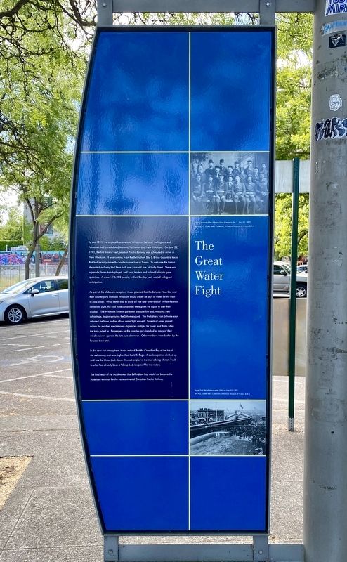
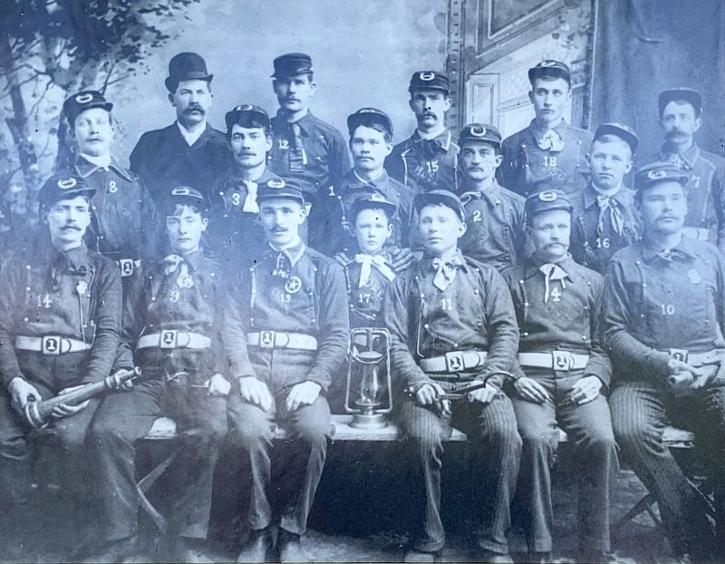
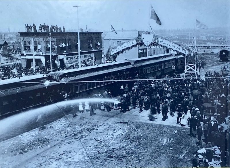
As part of the elaborate reception, it was planned that the Sehome Hose Co. and their counterparts from old Whatcom would create an arch of water for the train to pass under. What better way to show off that new waterworks? When the train came into sight, the rival hose companies were given the signal to start their display. The Whatcom firemen got water pressure first and, realizing their advantage, began spraying the Sehome squad. The firefighters from Sehome soon returned the favor and an all-out water fight ensued. Torrents of water played across the shocked spectators as dignitaries dodged for cover, and that's when the train pulled in. Passengers on the coaches got drenched as many of their windows were open in the late June afternoon. Other windows were broken by the force of the water.
In the near riot atmosphere, it was noticed that the Canadian flag at the top of the welcoming arch was higher than the U.S. flags. A zealous patriot climbed up and tore the Union Jack down. It was trampled in the mud adding ultimate insult to what had already been a "damp bad reception" for the visitors.
The final result of the incident was that Bellingham Bay would not become the American terminus for the transcontinental Canadian Pacific Railway.
Topics. This historical marker is listed in these topic lists: Entertainment • Railroads & Streetcars. A significant historical date for this entry is June 22, 1891.
Location. 48° 44.995′ N,
this page online

Regionally, this marker is in Washington’s Puget Sound Region. It is also on the American Pacific Coast, in the Pacific Northwest, and in the Lewis & Clark Corridor. Globally, it is in North America, in the Cascade Range, in the Inside Passage, on the Ring of Fire, in the Pacific Rim, in the Western Hemisphere, in the Western World, and in the Anglosphere.
Other nearby markers. At least 8 other markers are within 3 miles of this marker, measured as the crow flies: Bellingham Public Market Had Everything Under One Roof! (here, next to this marker); Bellingham grew up along its streetcar lines (about 500 feet away, measured in a direct line); Bellingham bloomed during its Tulip Festival in the 1920s (about 500 feet away); Performance Theater in Bellingham (approx. 0.2 miles away); Downtown was the hub of commercial activity (approx. 0.2 miles away); Metasequoia glyptostroboides (Dawn Redwood) (approx. 0.3 miles away); Washington State's Oldest Brick Building (approx. 0.6 miles away); The Legacy of Byron Elmendorf
Other markers no longer nearby. 1857 Pickett Bridge (was approx. 0.4 miles away but has been permanently removed); Pickett Bridge (was approx. 0.4 miles away but has been permanently removed).
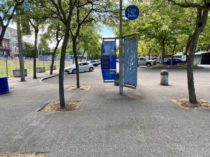
More about this marker. This marker is backed by the Bellingham Public Market Marker on the other side of the panel.
Credits. This page was last revised on July 23, 2021. It was originally submitted on July 23, 2021, by Andrew Ruppenstein of Lamorinda, California. This page has been viewed 1,402 times since then and 107 times this year. Photos: 1, 2, 3, 4. submitted on July 23, 2021, by Andrew Ruppenstein of Lamorinda, California.
