Near Ashland in Hanover County, Virginia — The American South (Mid-Atlantic)
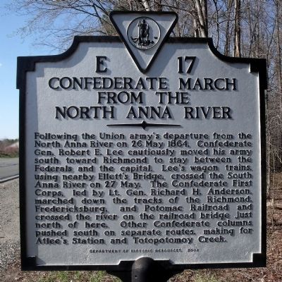
Confederate March From the North Anna River
Erected 2002 by Department of Historic Resources. (Marker Number E-17.)
Topics and series. This historical marker is listed in this topic list: War, US Civil. In addition, it is included in the Virginia Department of Historic Resources (DHR) series list. A significant historical date for this entry is May 26, 1864.
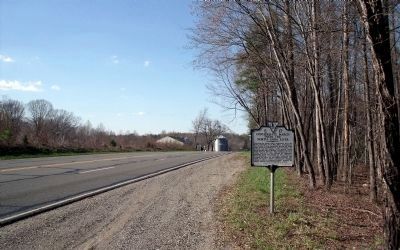
Location. 37° 48.202′ N, 77° 28.353′ W. Marker is near Ashland, Virginia, in Hanover County. Marker is on North Washington Highway (U.S. 1) 0.2 miles north of Cross Corner Road, on the right when traveling north. Touch for map. Marker is in this post office area: Ashland VA 23005, United States of America. Touch for directions.
Other nearby markers. At least 8 other markers are within 3 miles of this marker, measured as the crow flies. Stuart's Ride Around McClellan (approx. 1.3 miles away); School Transportation (approx. 2½ miles away); Rev. Alexander G. Brown D.D. (approx. 2.7 miles away); Lee’s Movements (approx. 2.8 miles away); ACE Roller Coaster Landmark (approx. 2.8 miles away); The Carrousel (approx. 2.8 miles away); Blackwell House (approx. 2.8 miles away); The Blue Ridge Tollway (approx. 2.8 miles away). Touch for a list and map of all markers in Ashland.
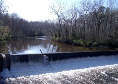
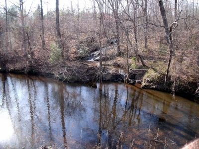
More about this marker. This marker replaced a marker from the late 1920s with the same number but titled “Ellett’s Bridge” that was reported missing in Margaret Peter’s 1985 Guidebook to Virginia’s Historical Markers. The inscription read “The wagon trains of Lee’s army crossed the South Anna here on May 27, 1864. On the railroad bridge just to the east Longstreet’s (Anderson’s) and Hill’s corps crossed the river on the same day on the way to Cold Harbor.”
Regarding Confederate March From the North Anna River.
Marching orders from Gen Lee’s HQ
Headquarters Army of Northern Virginia, May 27, 1864.
Maj. Gen. J.C. Breckinridge, Commanding, &c. :
General: General Lee bids me say that he desires you to be in readiness to move at once with your troops. He wishes you to follow the route laid down by General Anderson's corps when the order for marching is given. This route is for troops over Fredericksburg railroad bridges on Little River and South Anna, for trains over the Little River bridge west of Taylorsville, and over Ellett's Bridge, on South Anna. A special order for Col. Bradley Johnson's regiment accompanies this.
I am, very respectfully, your obedient servant,
C. S. VENABLE, Aide
Also see . . . CWSAC Battle Summary. North Anna (Submitted on April 10, 2009.)
Credits. This page was last revised on March 2, 2022. It was originally submitted on April 10, 2009, by Bernard Fisher of Richmond, Virginia. This page has been viewed 1,599 times since then and 46 times this year. Photos: 1, 2, 3, 4. submitted on April 10, 2009, by Bernard Fisher of Richmond, Virginia.


