Coupland in Travis County, Texas — The American South (West South Central)
Manda
Photographed by Keith Peterson, July 29, 2007
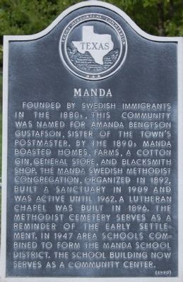
1. Manda Marker
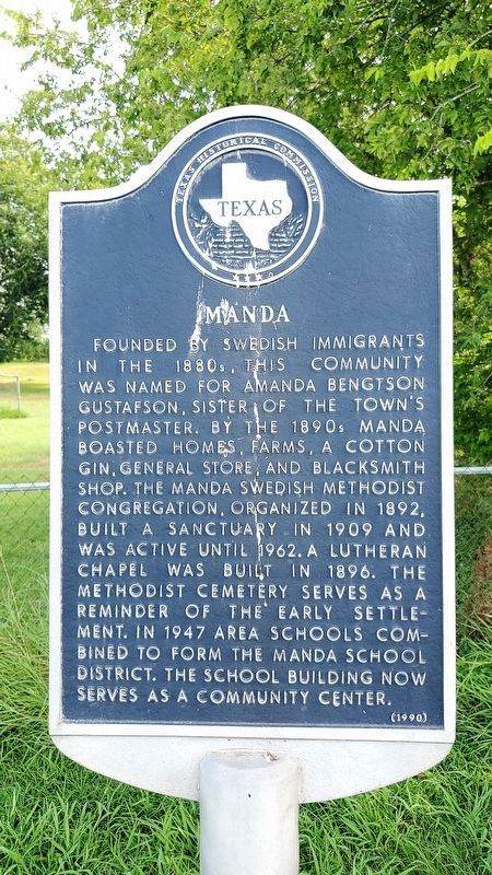
Founded by Swedish immigrants in the 1880s, this community was named for Amanda Bengtson Gustafson, sister of the town’s postmaster. By the 1890s Manda boasted homes, farms, a cotton gin, general store, and blacksmith shop. The Manda Swedish Methodist congregation, organized in 1892, built a sanctuary in 1909 and was active until 1962. A Lutheran chapel was built in 1896. The Methodist cemetery serves as a reminder of the early settlement. In 1947 area schools combined to form the Manda school district. The school building now serves as a community center.
Erected 1990 by Texas Historical Commission. (Marker Number 14778.)
Topics. This historical marker is listed in these topic lists: Education • Religion & Religious Structures • Settlements & Settlers. A significant historical year for this entry is 1892.
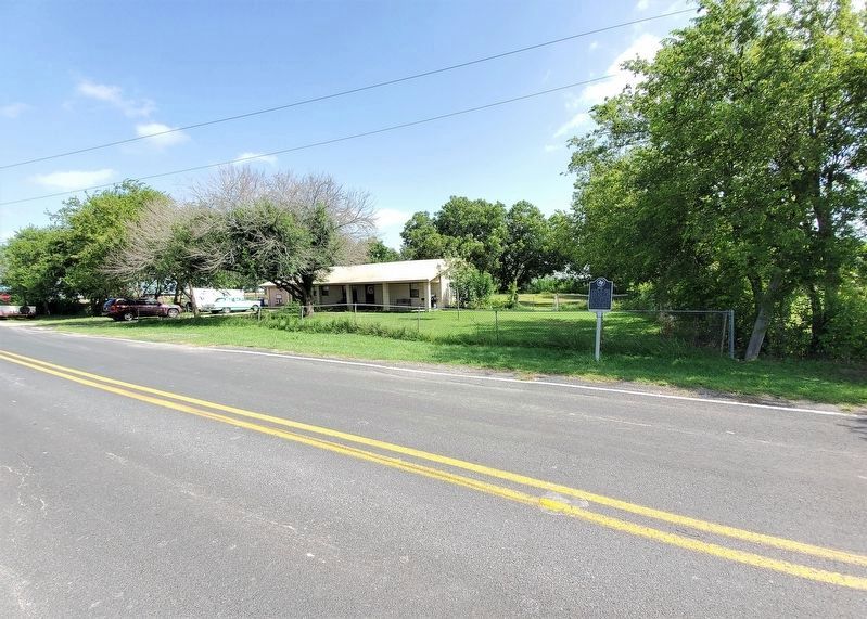
Location. 30° 24.131′ N, 97° 28.064′ W. Marker is in Coupland, Texas, in Travis County. It is on Wells School Road 0.1 miles east of Manda Carlson Road, on the right when traveling west. Touch for map. Marker is in this post office area: Coupland TX 78615, United States of America. Touch for directions.

Regionally, this marker is in Central Texas and in the Austin Metropolitan Area. It is also in the American South. Globally, it is in North America, a Gulf of Mexico state, the Western Hemisphere, the Western World, and the Anglosphere. Historically, it finds itself in what was once New Spain, the Republic of Texas, one of the Confederate States of America, and the Antebellum South.
Other nearby markers. At least 8 other markers are within 5 miles of this marker, measured as the crow flies: Site of Willow Ranch School (approx. 0.9 miles away); Kimbro (approx. one mile away); New Sweden Evangelical Lutheran Church (approx. 1.1 miles away); Carlson (approx. 2 miles away); Rose Hill Cemetery
this page online
Also see . . . TexasEscapes.com. Manda, Texas (Submitted on January 1, 2010, by Keith Peterson of Cedar Park, Texas.)
Photographed by Richard Denney, July 24, 2021
2. Manda Marker
Photographed by Richard Denney, July 24, 2021
3. Manda Marker
Photographed by Richard Denney, July 24, 2021
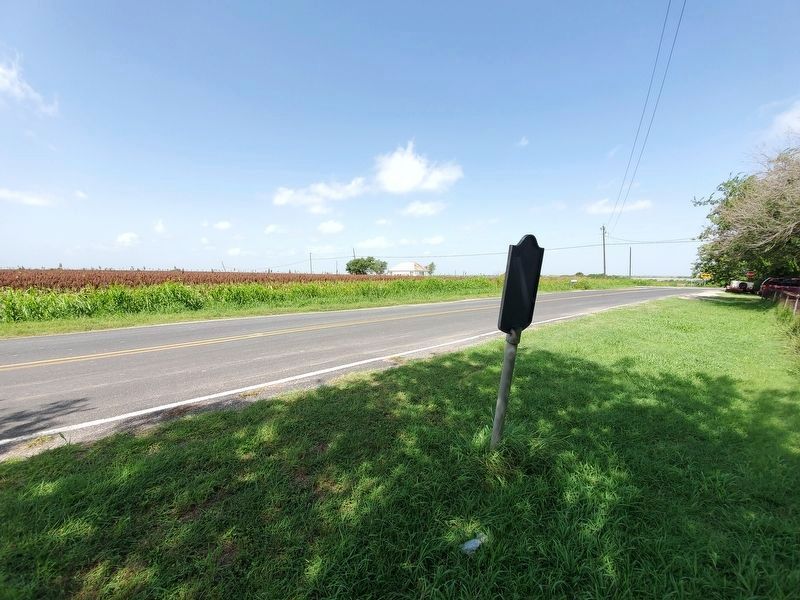
4. Manda Marker
View from behind marker looking at old Manda school referenced on marker in distance.
Credits. This page was last revised on February 1, 2023. It was originally submitted on January 1, 2010, by Keith Peterson of Cedar Park, Texas. This page has been viewed 1,389 times since then and 52 times this year. Last updated on July 24, 2021, by Richard Denney of Austin, Texas. Photos: 1. submitted on January 1, 2010, by Keith Peterson of Cedar Park, Texas. 2, 3, 4. submitted on July 24, 2021, by Richard Denney of Austin, Texas. • J. Makali Bruton was the editor who published this page.
