Yankton in Yankton County, South Dakota — The American Midwest (Upper Plains)
First Capitol Building of Dakota Territory
July 18, 2021
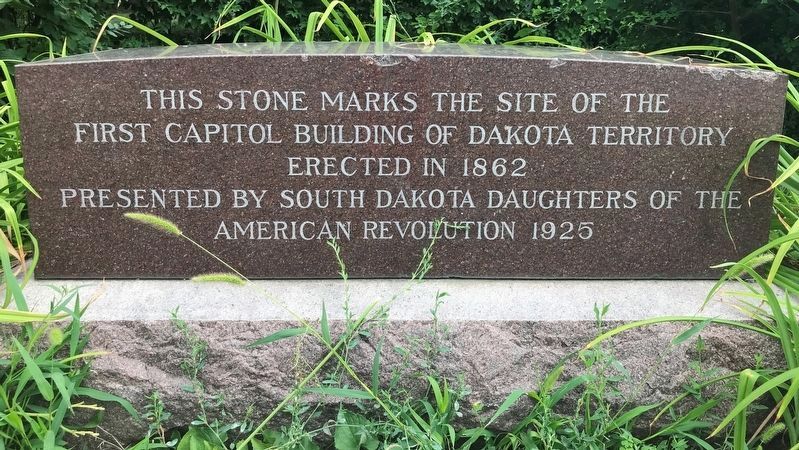
1. First Capitol Building of Dakota Territory Marker
Erected 1925 by South Dakota Daughters of the American Revolution.
Topics and series. This historical marker is listed in these topic lists: Government & Politics • Political Subdivisions. In addition, it is included in the Daughters of the American Revolution (DAR) series list. A significant historical year for this entry is 1862.
Location. 42° 52.278′ N, 97° 23.427′ W. Marker is in Yankton, South Dakota, in Yankton County. It is at the intersection of Capital Street and East 4th Street (State Highway 50), on the right when traveling north on Capital Street. Touch for map. Marker is at or near this postal address: 200 E 4th St, Yankton SD 57078, United States of America. Touch for directions.

Regionally, this marker is in the Yankton Sioux Tribe and in East River. It is also in the American Midwest, in the Lewis & Clark Corridor, in the Corn Belt, on the prairies, and on the Northern Plains. Globally, it is in North America, the Western Hemisphere, the Western World, and the Anglosphere. Historically, it
this page online
Other nearby markers. At least 8 other markers are within walking distance of this marker: First Territorial Capital (a few steps from this marker); Trial of Jack McCall for Murder of "Wild Bill" (about 400 feet away, measured in a direct line); Cramer - Kenyon Home (approx. 0.2 miles away); Historic Highway (approx. 0.2 miles away); First Building at Yankton Site (approx. 0.2 miles away); Christ Church (approx. 0.2 miles away); The Intersection of Third & Walnut (approx. 0.2 miles away); Pine Street Bridge (approx. 0.2 miles away). Touch for a list and map of all markers in Yankton.
Related marker. Click here for another marker that is related to this marker.
July 18, 2021
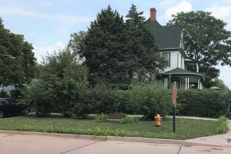
2. First Capitol Building of
Dakota Territory & Territorial Capital Markers
Dakota Territory & Territorial Capital Markers
July 18, 2021
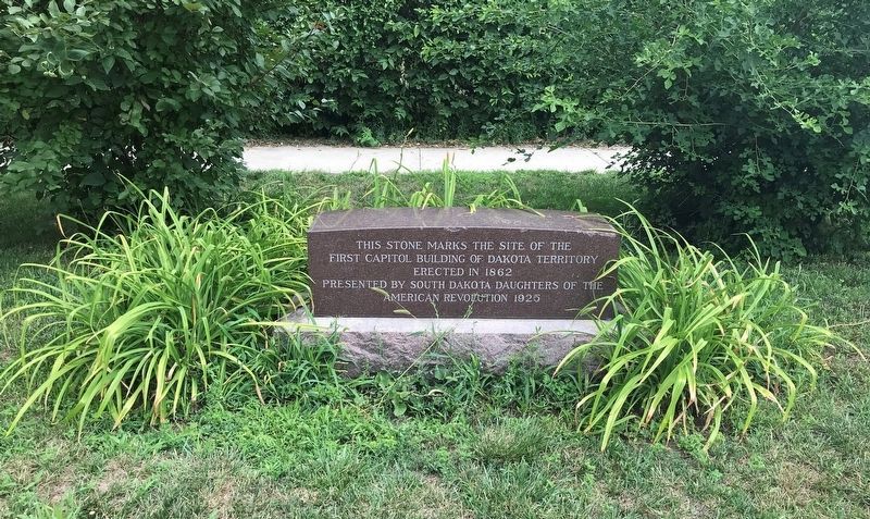
3. First Capitol Building of Dakota Territory Marker
Credits. This page was last revised on October 10, 2021. It was originally submitted on July 24, 2021. This page has been viewed 391 times since then and 26 times this year. Photos: 1, 2, 3. submitted on July 24, 2021. • Mark Hilton was the editor who published this page.
